The Chiricahua “sky island” mountain range lies along the southeastern border of Arizona with New Mexico. As you drive into the unassuming area, it feels like you’ve stumbled upon hidden treasure. It doesn’t have Bryce Canyon’s color or concentration of hoodoos or Zion’s grandeur but the drive through this national monument and hikes within it are reminiscent of both. Added bonus…if you’ve ever geeked out on comics, you might get the feeling that Stan Lee’s Fantastic Four character “The Thing” lurks just around the next corner.
Chiricahua National Monument is a bit off the beaten path, but well worth the trip!
Just outside the Chiricahua National Monument lies the Coronado National Forest which has several dispersed camping spots off of Pinery Canyon Road, making it a great RV destination.
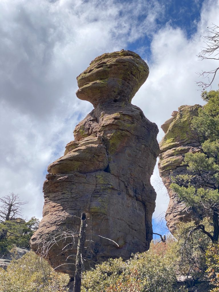
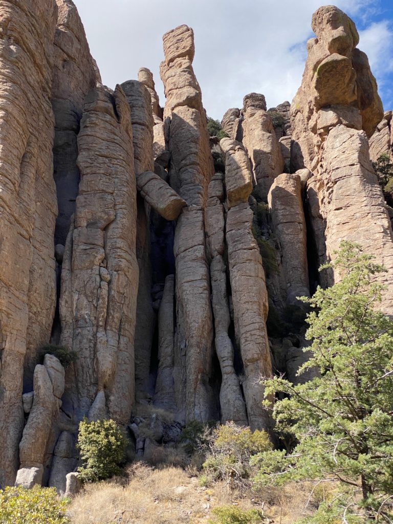
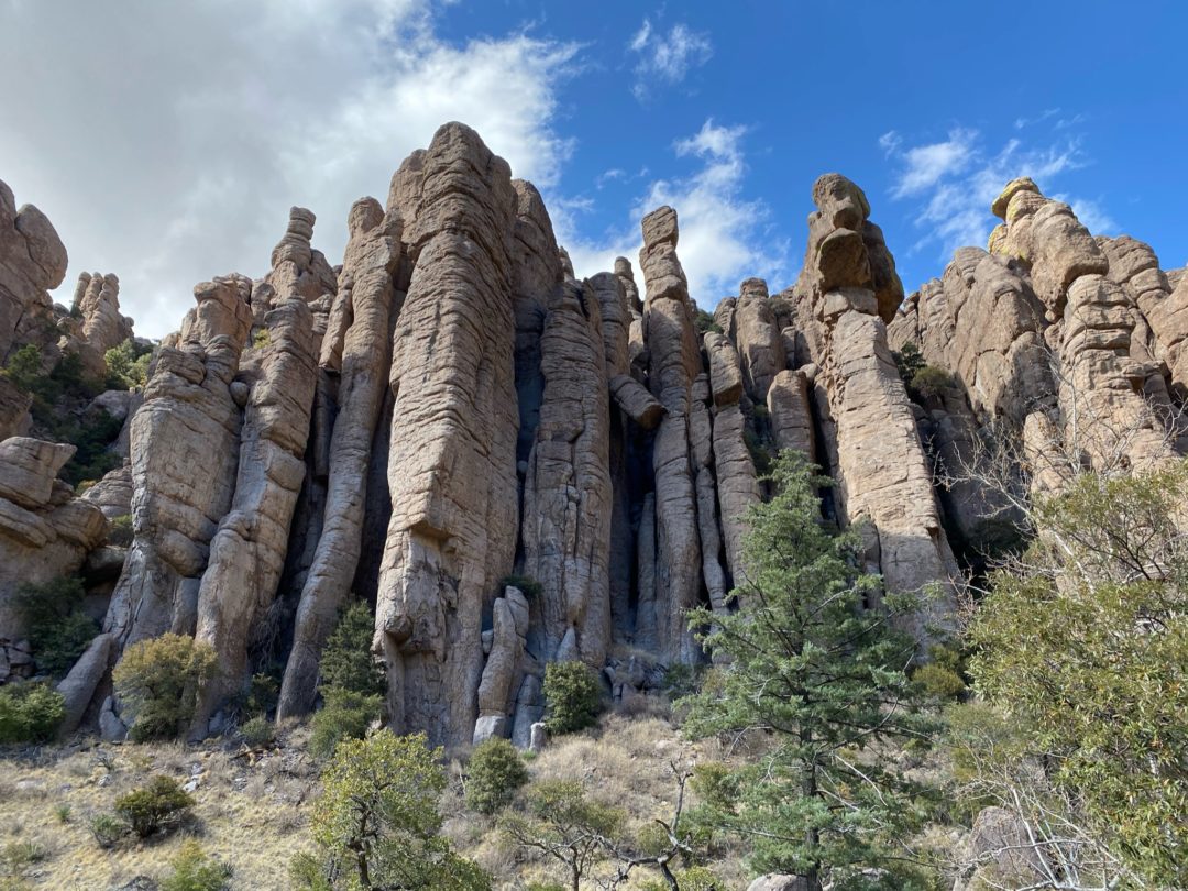
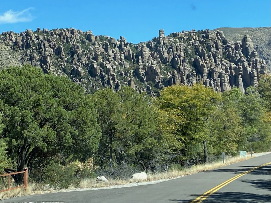
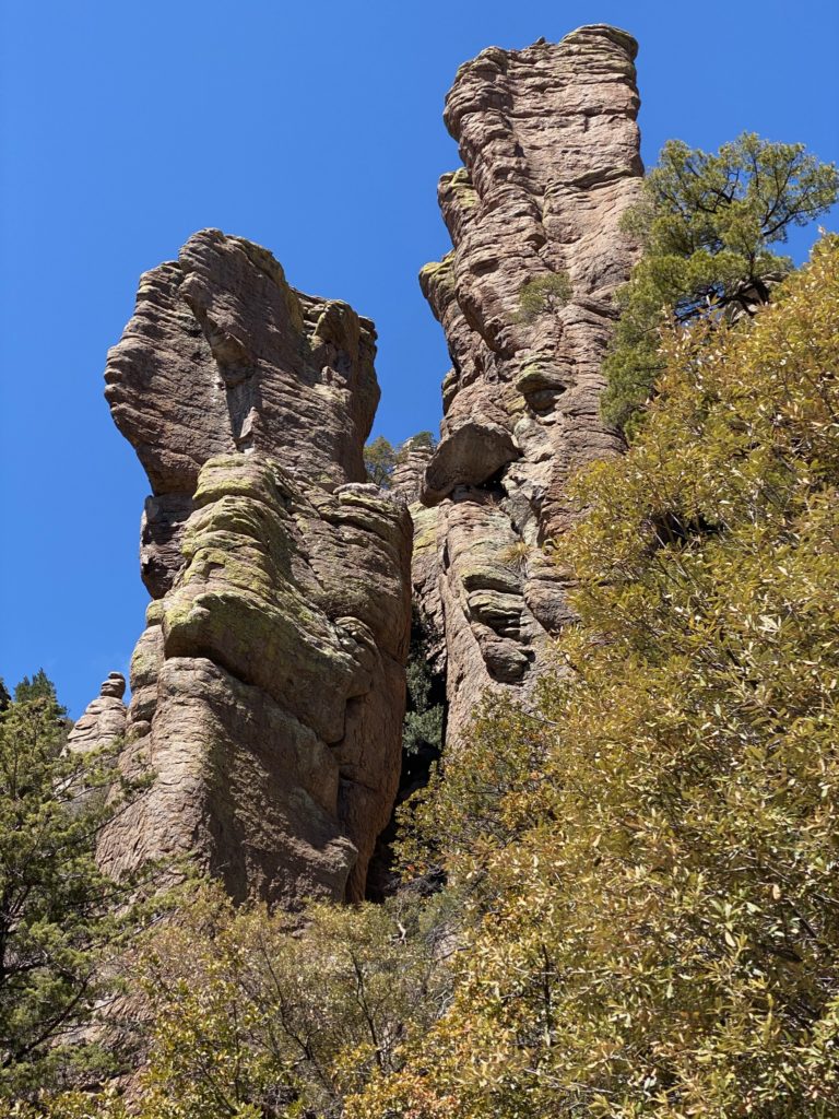
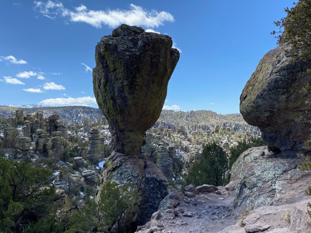
Just past the monument entrance, peeking above rows and rows of trees stand the guardians of this National Monument, massive columns, “totem poles”, and balancing rocks.
From a distance, their shoulder to shoulder stance and collective presence resemble the precision of military strength on display. As you wind your way 8 miles up Bonita Canyon Drive to Massai Point closer and closer to each “soldier”, these sculpted rocks begin to take on unique shapes and individual personality, separate from the collective. Much like the animals seen in large puffy clouds, these rocks can’t help but fuel the imagination.
There are 17 miles of day use trails including a wheelchair accessible nature trail and a wide variety of plants and animals from four ecosystems in this mountain range…everything from Douglas Fir typical of the Rockies to Apache pine from Mexico’s Sierra Madres, Yuccas from the Chiricahua desert, and cactus species from the Sonoran Desert. Pets are not allowed on any trails and bicycles are only allowed on paved roads in the National Monument.
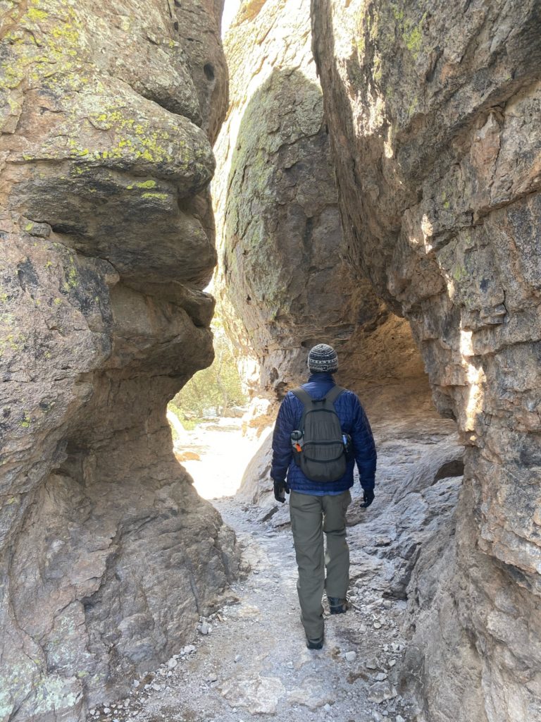
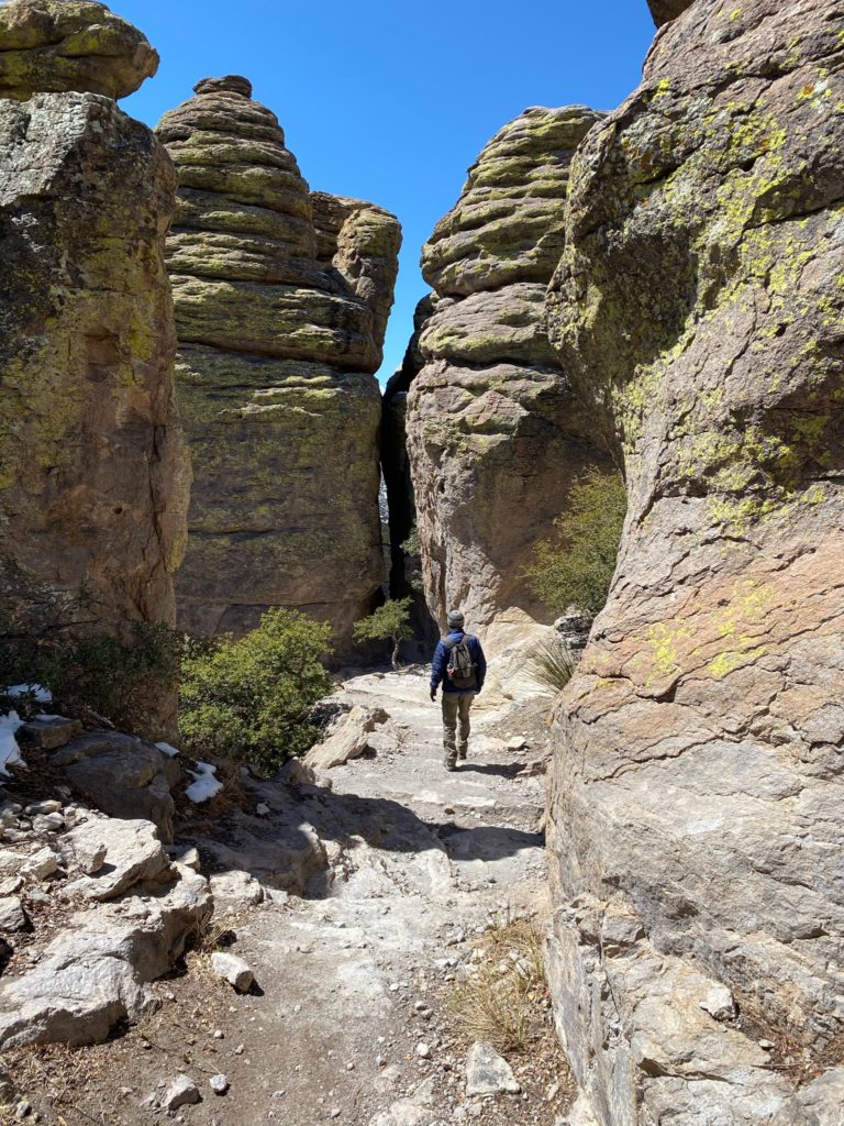
We took one of the most popular hikes, Echo Park Loop, which was truly an incredible display of workmanship performed by the Civilian Conservation Corps back in 1934. To meet any of these engineers would be an honor and I’d likely perform a Wayne and Garth “we’re not worthy” child-pose bow in praise. Absolutely fantastic!
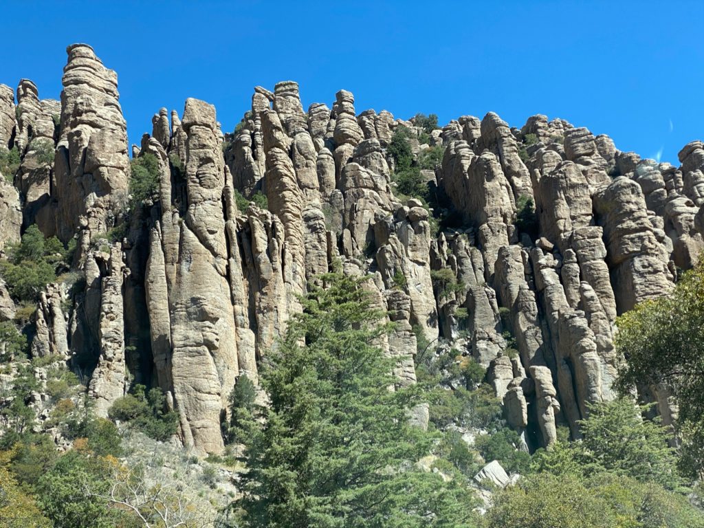
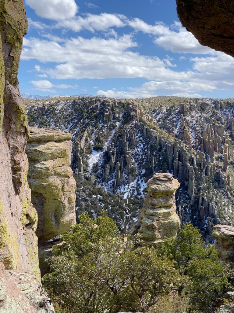
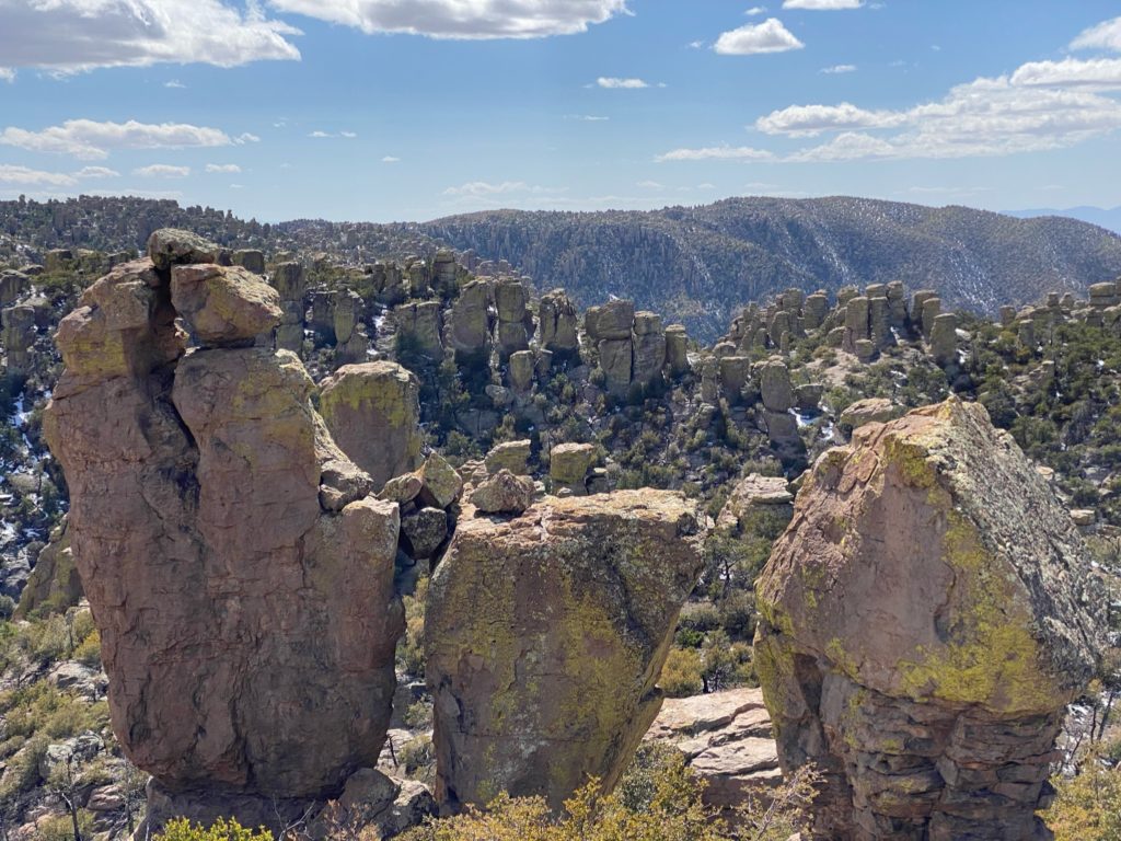
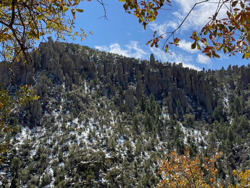
The 3.5 mile Echo Park Loop trail weaves up, swerves down, working around a point that provided hoodoo views for miles on the south side but also, and more impressively, the trail is cut between, and sometimes through, the individual rock structures, which in effect, displays their mighty scale and strength up close while also providing up-close views of their ever changing eroded shape and snowflake-like uniqueness.
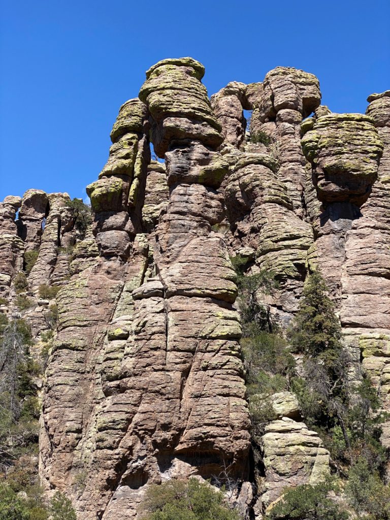

In the heart of the Chiracauha Mountains the Turkey Creek Volcano erupted nearly 27 million years ago spewing ash, gas and pumice at speeds of over 100mph over 1,200sq miles! So much material was blown out of the volcano that its collapse left a depression 12 miles across and 5,000 feet deep.
The resulting superheated ash deposits slowly compressed, fused together, and cooled creating cracks in the volcano-formed, gray-rock rhyolite. Then eons of weathering by ice wedging and erosion from water carved the Chiricahua formations. As long as there is rain, ice, wind, plants and change in temperature, this erosion will continue to re-shape these rock totems.
Like so many things, learning about and spending time amongst these seemingly formidable foes proved them to be mere gentle giants by day’s end. Happy hiking!