The Cabot Trail is a scenic roadway around Nova Scotia’s Cape Breton Island that is touted as one of the most famous drives in Canada.
Driving it without stopping and without traffic (both probably unheard of) would only take 5-6 hours, but more typically, I think people spend a few days.
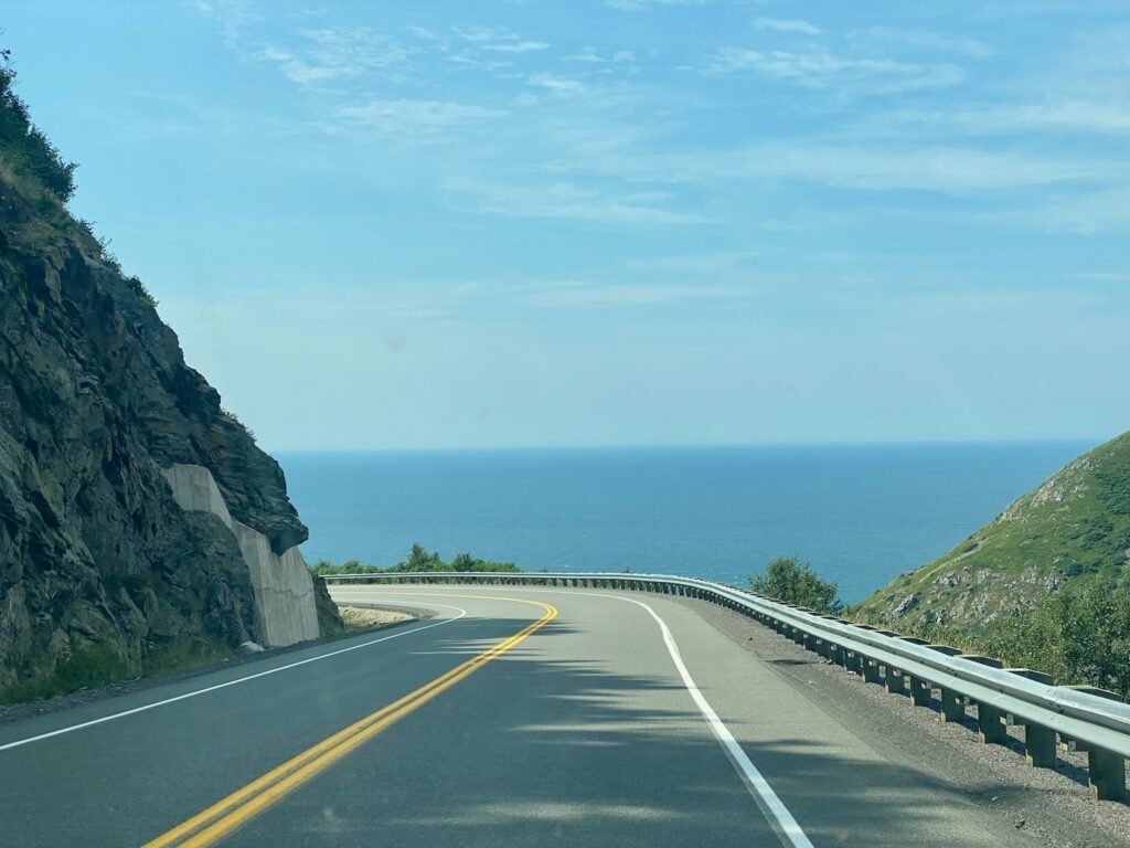
There’s no way to leave this 185-mile loop (i.e. short cut through the island), so commit to a direction and drive. We did the loop counterclockwise / the-not-for-the-faint-of-heart direction on the outside lanes, which also had great views!
If you’re driving counterclockwise, before you reach the official trail, you’ll go through the town of Baddeck and we recommend a day here (see post).
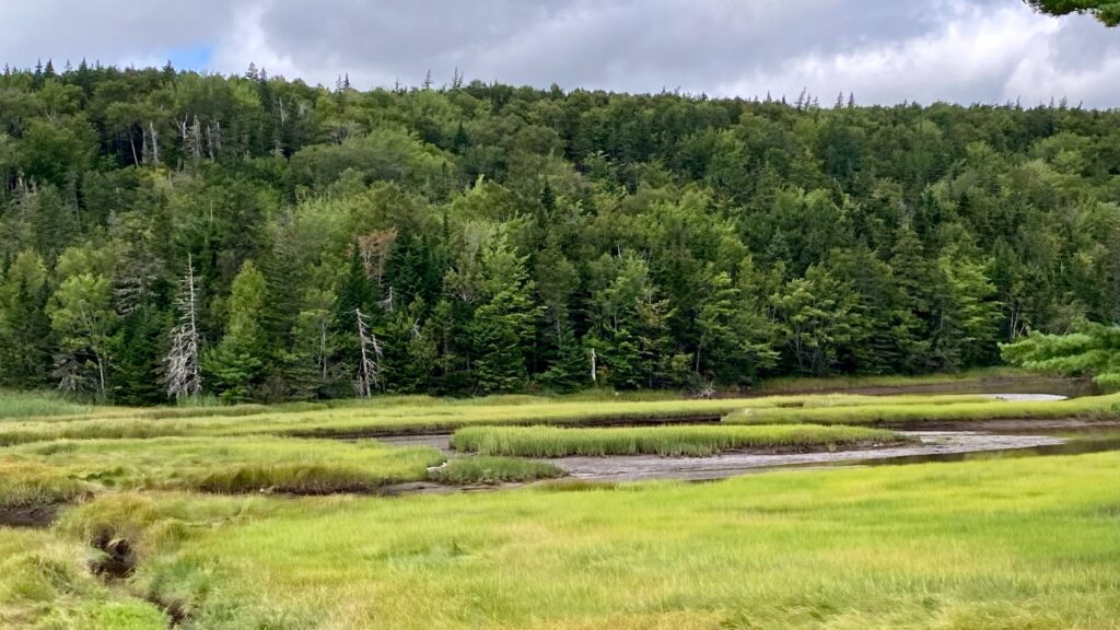
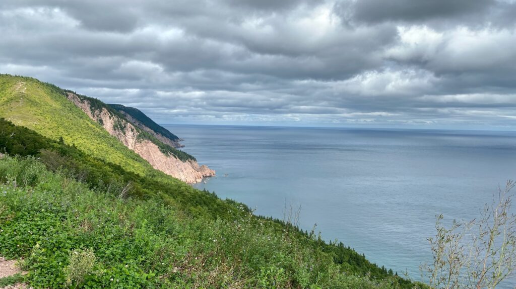
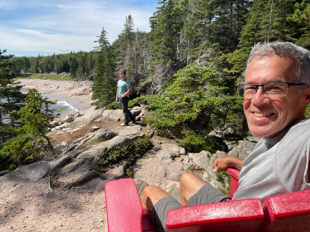
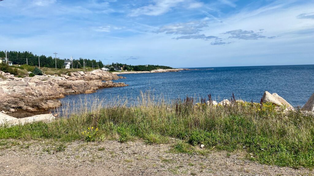
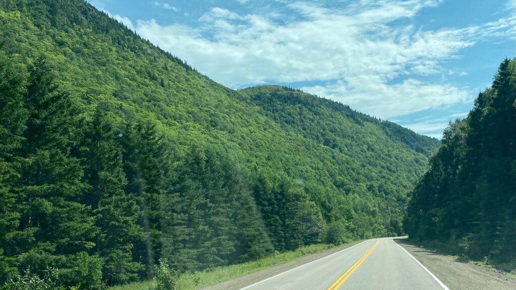
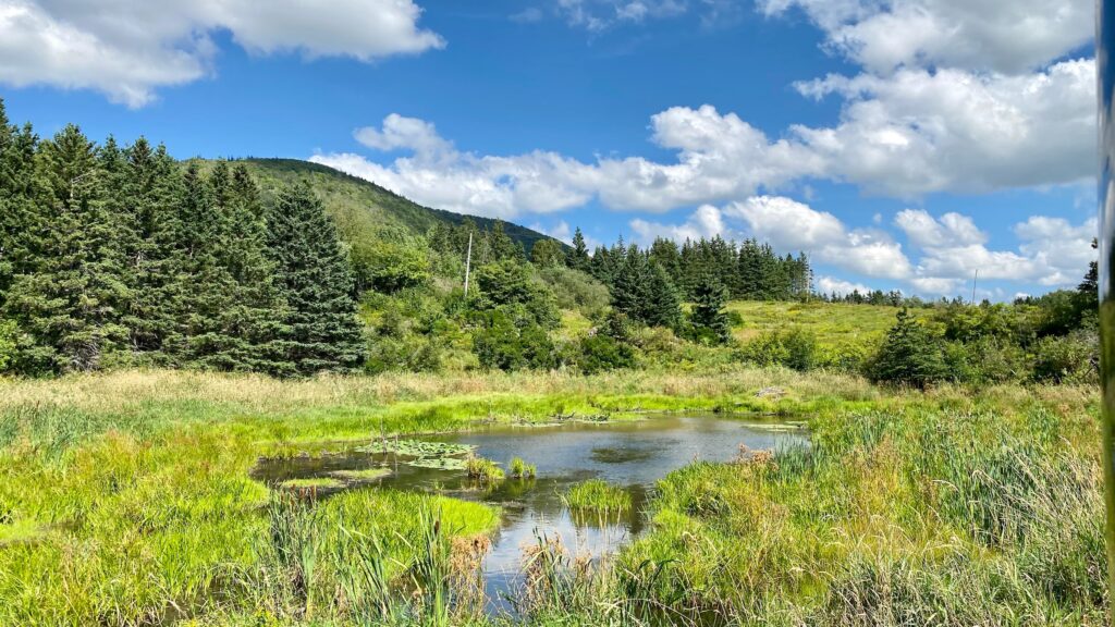
Leaving Baddeck, the Cabot Trail whisked us up a hillside, over Indian Brook, and soon we’d stopped at an apex look-out past Duncan’s Beach. We worked our way along the peninsula that divides North Ingonish Bay from South Ingonish Bay. It was near here that we took Middlehead Hike. (Please note Doug ignoring all warning signs again about getting too near the edges of the cliffs!)

Near Duncan’s Beach
Middlehead Hike 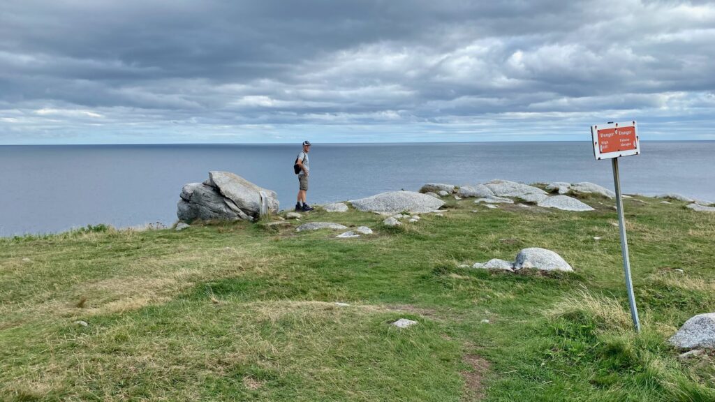
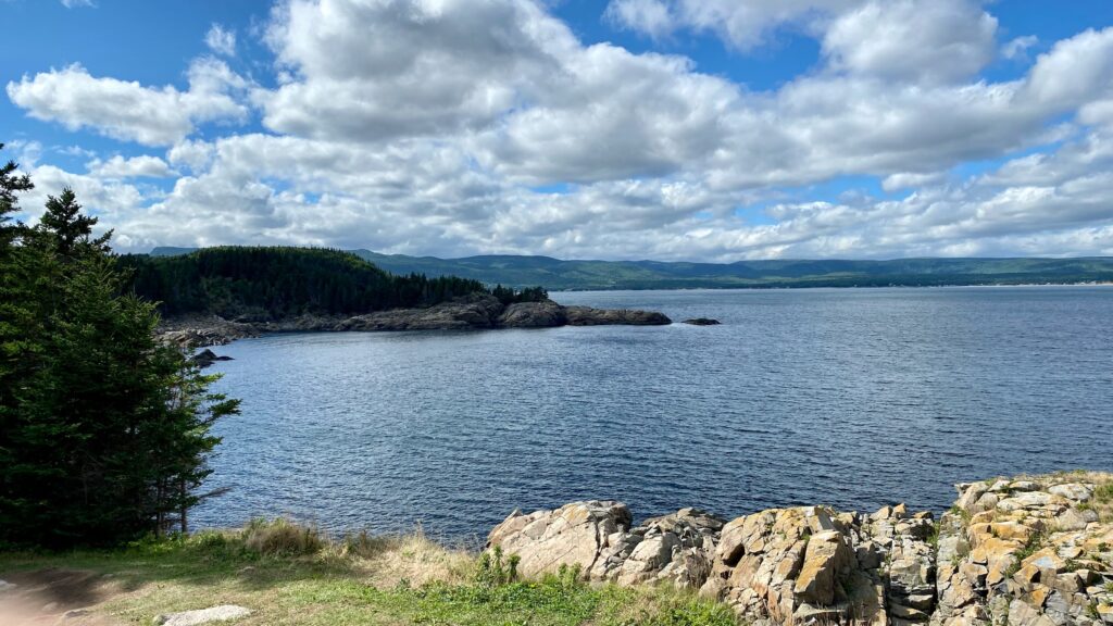
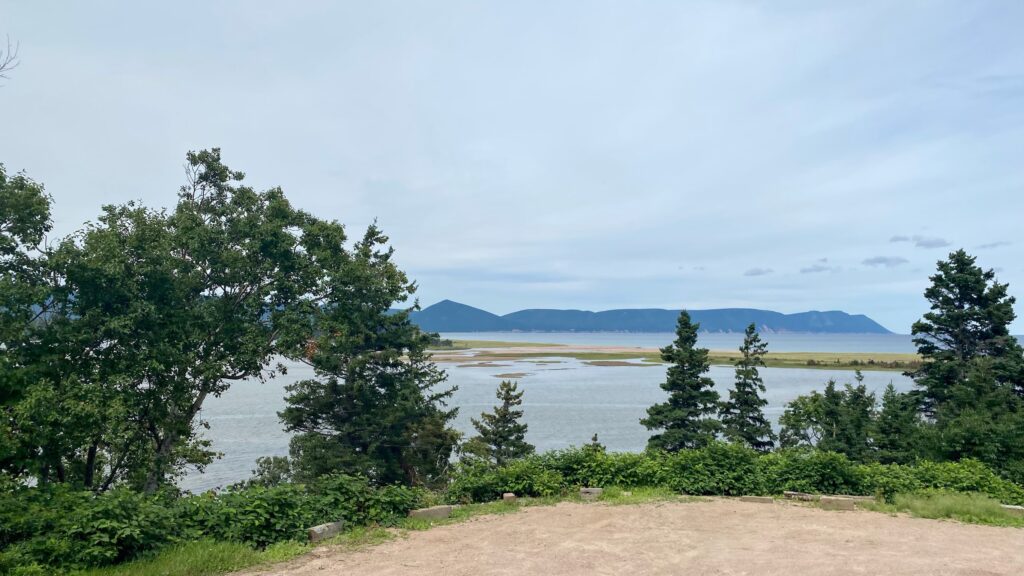
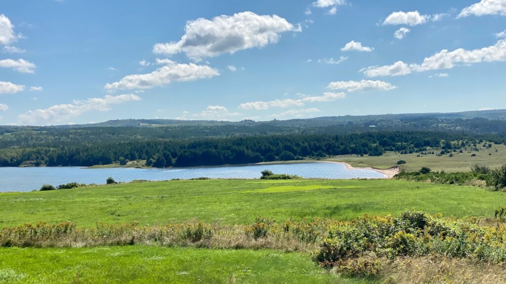
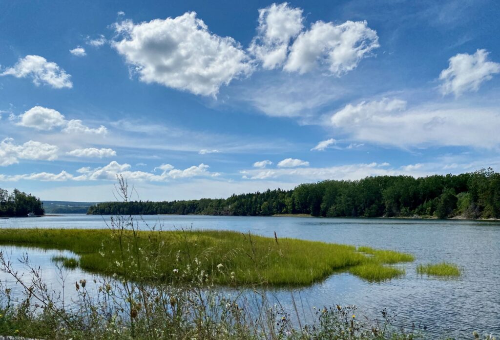
We camped at Broad Cove and in the morning Doug paddle boarded in the area. I enjoyed a bluff overlook and a good book.
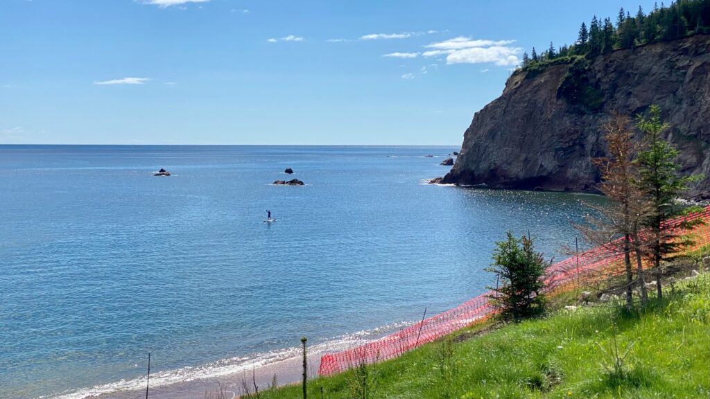
Broad Cove
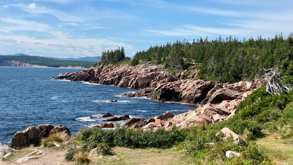
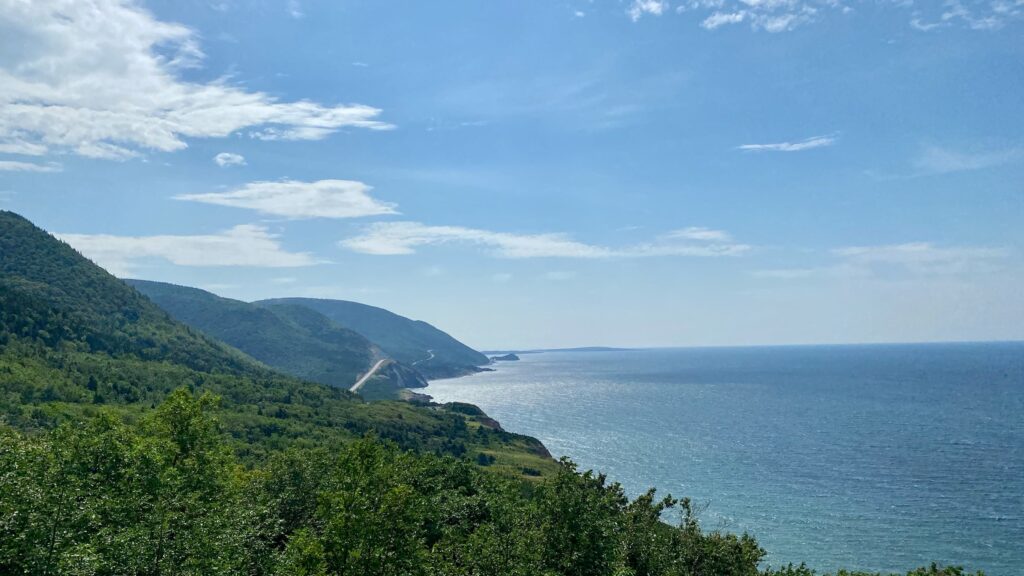
We started the next morning at Lakies Head. With sturdy shoes, it was fun to scramble along the large rocks while enjoying the scenery. Another spectacular morning in Nova Scotia!
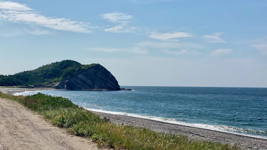
Our next stop was Black Brook Beach where we took in the sites from the beach and from a cliffside trail above it.
It was lunchtime, by the time we’d driven to Neils Harbor and its well-kept lighthouse. We ate in the RV, but a lot of visitors stopped at local restaurants for lunch.
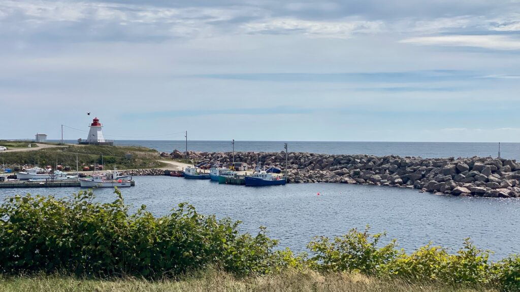
Neils Cove Lighthouse 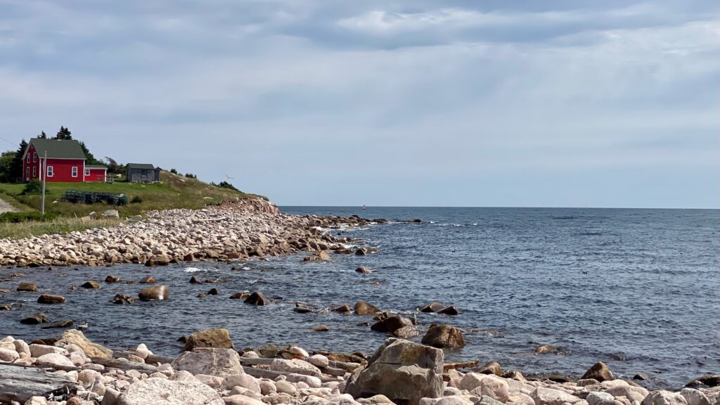

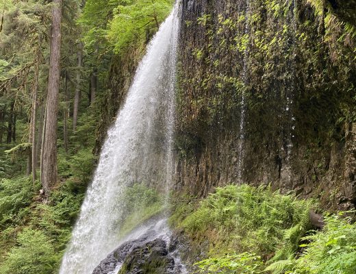
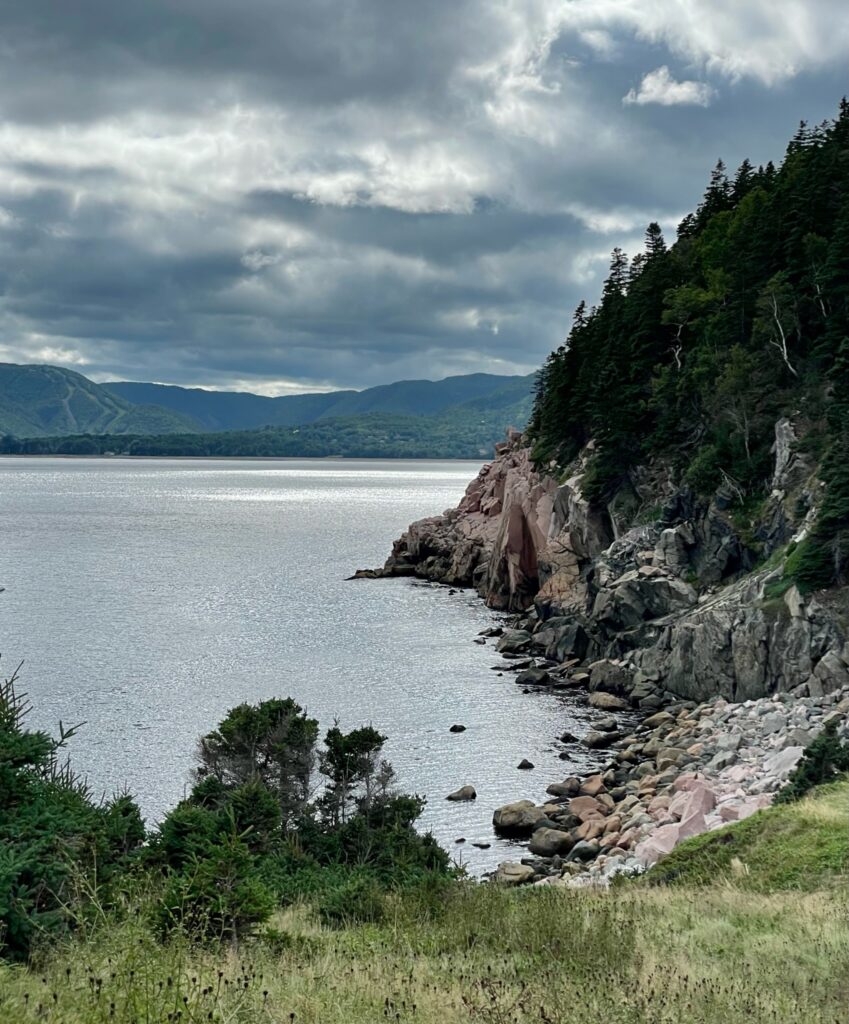
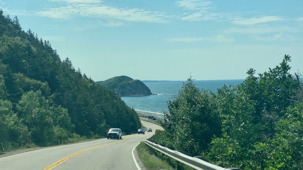
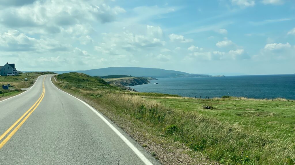
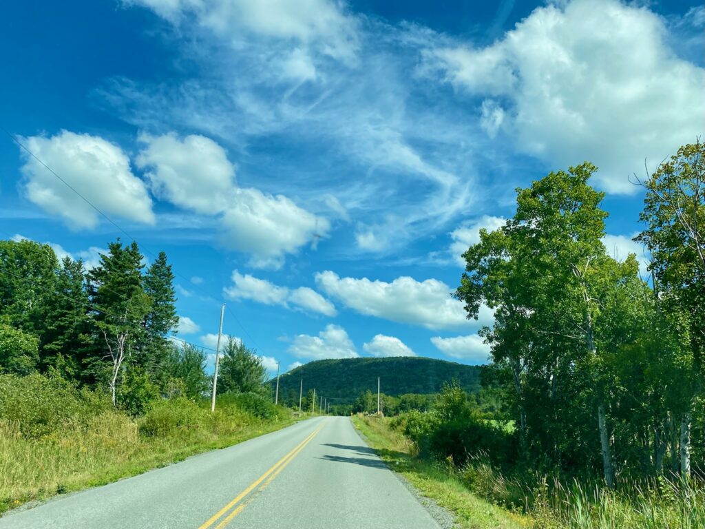
Soon after leaving Neils Cove, the road climbs again and there are some wonderful look-offs (that’s the Canadian term for overlook parking areas) before Smelt Brook. Then there was a fast decent towards South Harbor and its unmistakable land bridge. We roller-coasted back up and around the hills before making the hard decision to take our chances driving the RV down to the parking lot a Beulach Ban Falls, which warned us not to. The road wasn’t bad, but I wouldn’t suggest it for anyone with an RV even 1 foot longer than ours, as the parking lot was tight!
Land Bridge
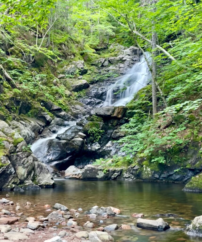
Beulach Ban Falls
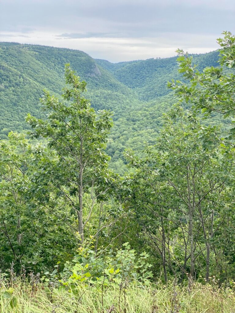
Back on the Cabot Trail, the look-offs became deeply wooded and lush green valleys splayed out along a fault line that runs through this area. What followed were some of steepest hills of the drive before dropping down into Pleasant Bay, where we boondocked for the night.
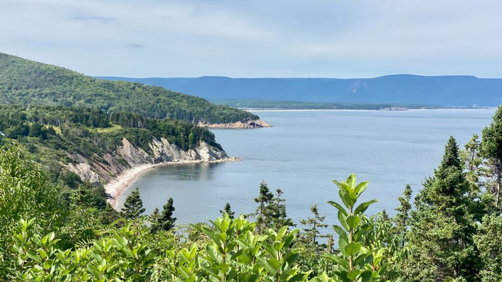
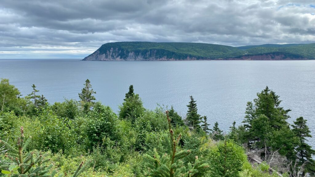
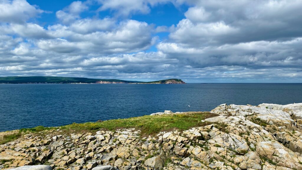
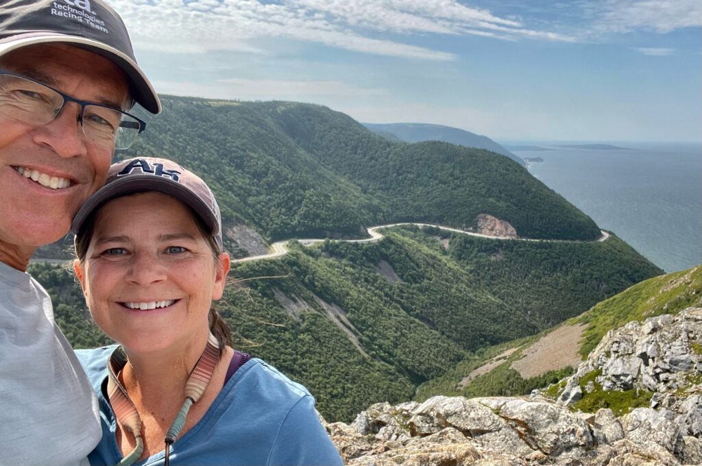
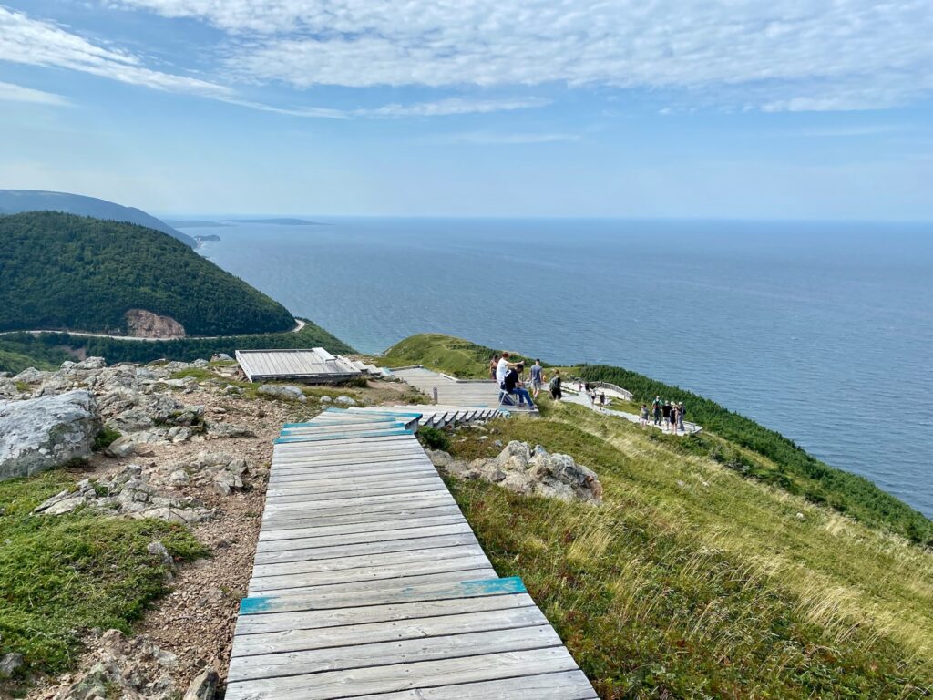
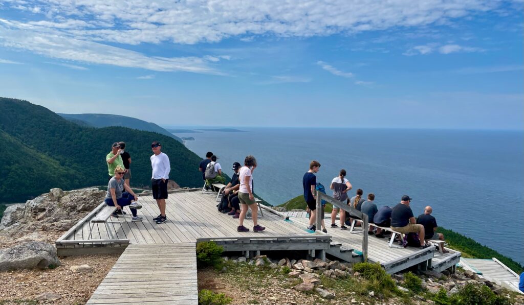
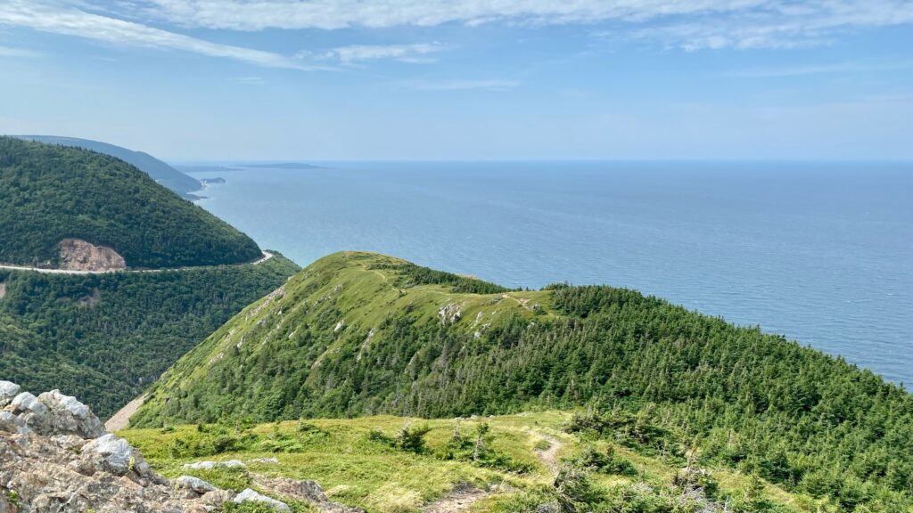
On day 4, we hiked Skyline Trail. This 6.3-mile loop trail includes a dramatic headland cliff overlook of the Gulf of St. Laurence and French Mountain. Many people just do an out and back along the headlands, avoiding most of the loop, but I thought the loop was worth it. This is a popular (well-maintained but heavily trafficked) trail, but well worth the crowds! Along the headlands the winds were incredibly strong, and it was chilly, so consider a light jacket as you’ll want to stay for some spectacular views.
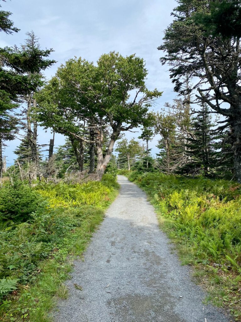
Skyline Trail 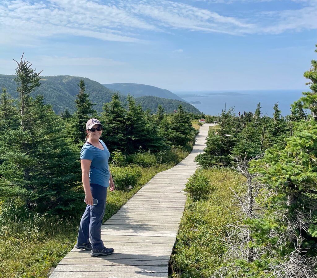
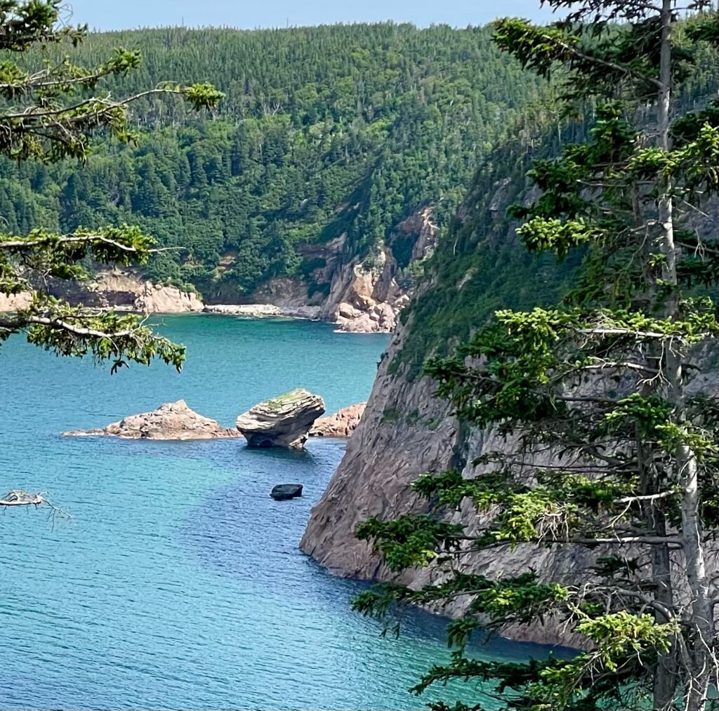
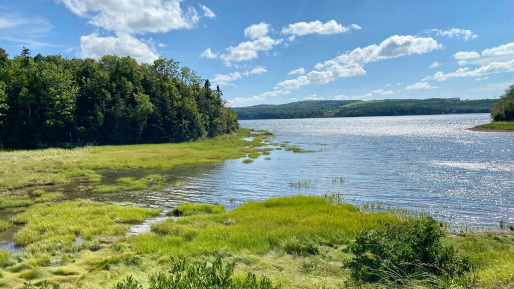
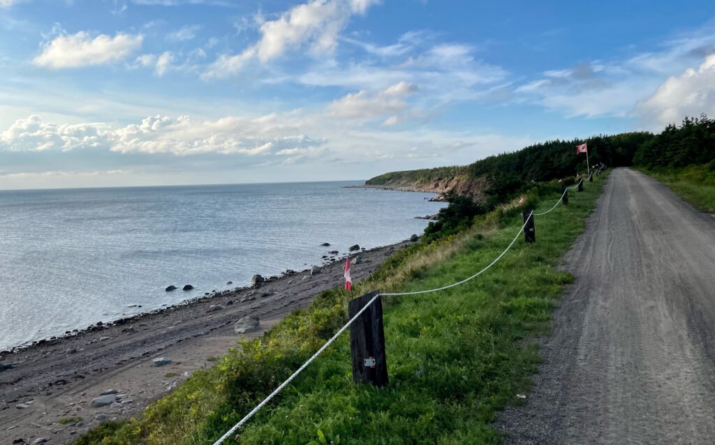
Leaving Skyline Loop Trail, the road had our RV dive bombing along the shoreline with split second peek-a-boo views of rocky cliffsides, white sandy beaches, wildflowers, blowing grasses, and deep-blue-turned-turquoise-at-the-shoreline water. Then as quicky as it came, it was gone. Deep green thickets and trees emerged on both sides, nearly engulfing the roadway. We camped here, at Cheticamp, with full-service (meaning longer showers) for the night!
Near Cheticamp
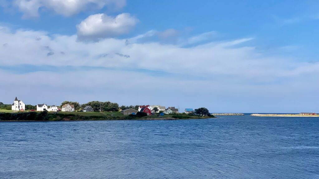
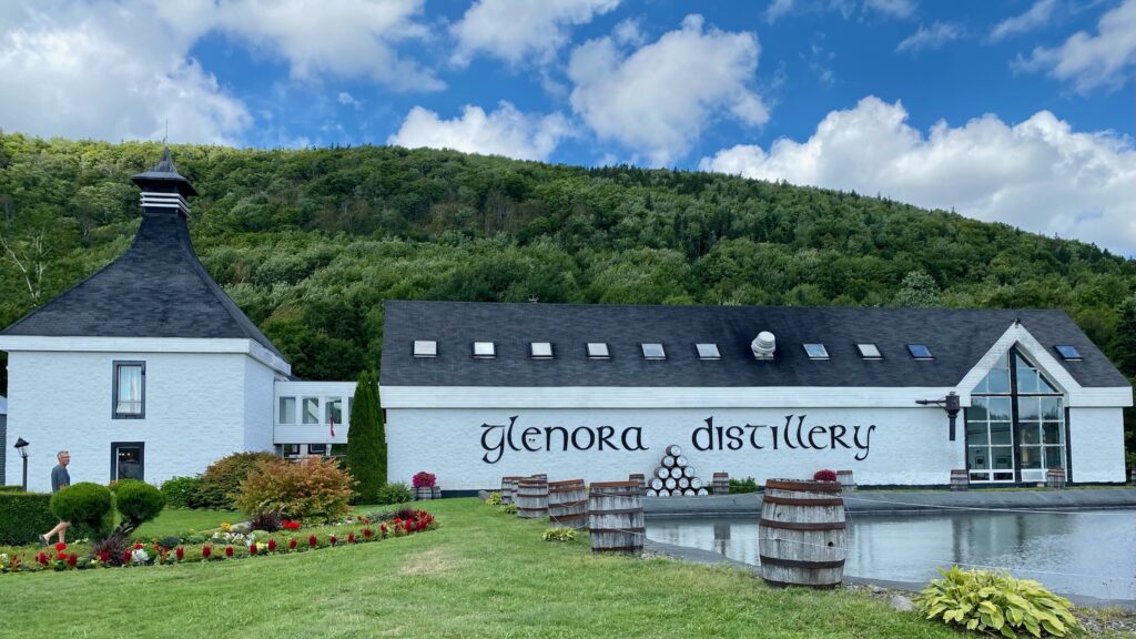
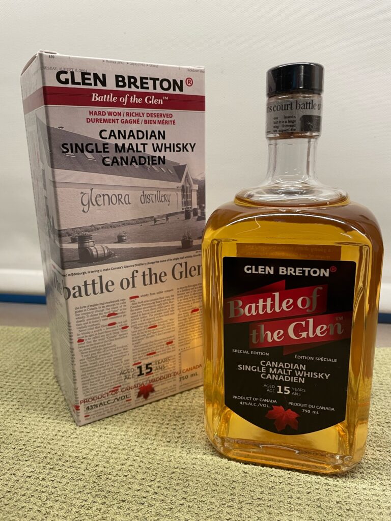
After some fuel and a few pictures of the church on Cheticamp’s main street, we were back in the RV and had another sunny day through Grand Etang, Belle Cote, Margaree Harbour, and just short of Mabou where we stopped at Glenora Distillery for lunch and some scotch (which apparently must be called single malt whiskey when produced outside Scottland). In fact, this distillery fought a long legal battle with the Scotch Whiskey Association just for using the word “Glen” in the name of their malt whiskey because the Association thought it might confuse people into thinking it was scotch. After a lot of legal letters back and forth starting in 2001, the court battles began in early 2007, and ended with a 2009 Canadian Supreme Court decision in favor of Glenora Distillery. We were treated to some live Celtic music over lunch and took home a bottle of their tribute whiskey, “Battle of the Glen”!
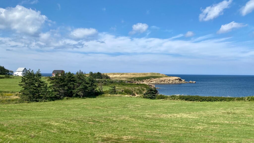


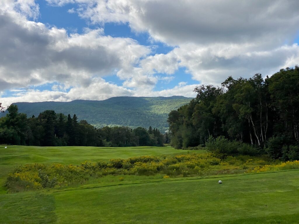
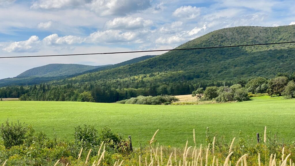
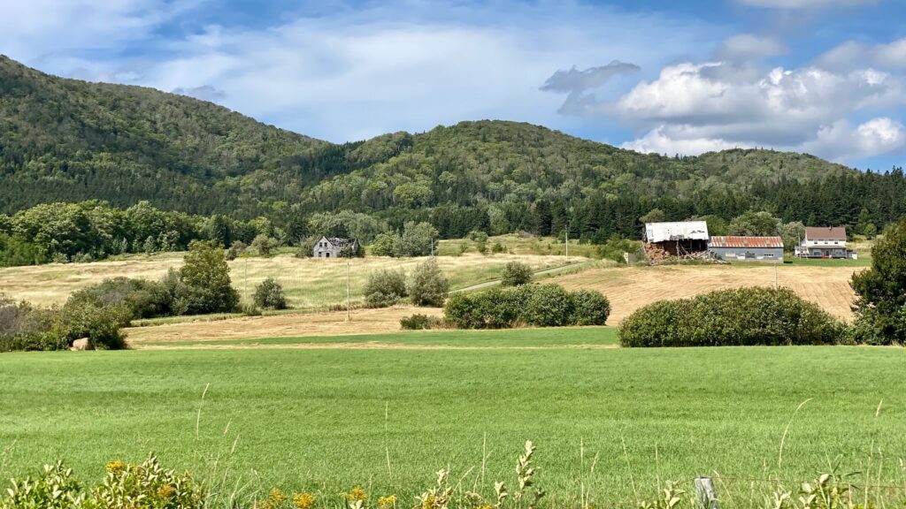
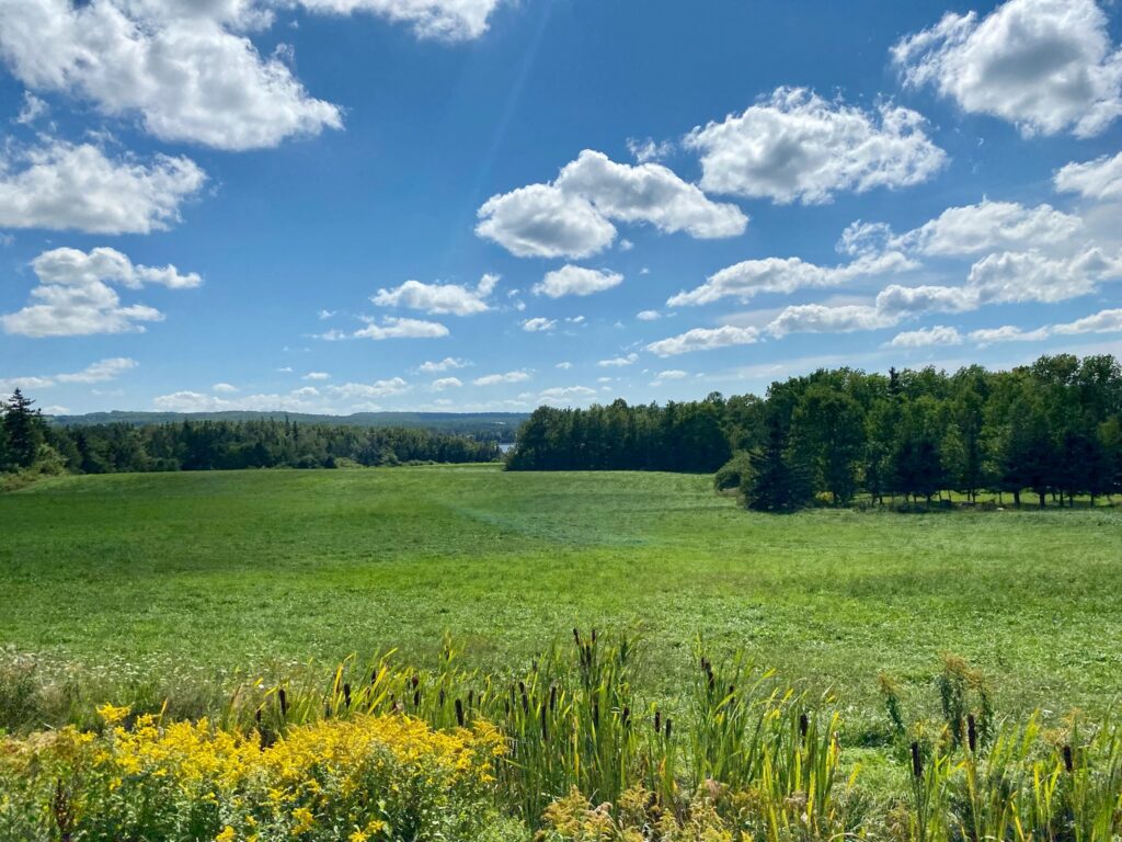
Doug had talked to a local who insisted that Mabou was the prettiest place in Nova Scotia, so we drove all over this area. In two words…pure fairytale. The area was surreal, like when Dorothy finds herself in Oz and everything turns form black and white to color. The landscapes felt like they’d been imagined by children – perfect blue skies dotted with cotton ball clouds and deep green, knee-high grasses led to mossy edged inlets. The community was dotted with homes, but everything was spread out, remote. It’s an area that’s concurrently wild but seemingly golf-course manicured. Good job mother nature! Our photos from the drive around don’t do it justice!
Mabou 
Despite not wanting to leave, we pushed on as I had insisted that we tour the Celtic Music Museum as our last stop along the Cabot Trail. We arrived, only to find that the museum was having electrical issues and would be closed for several days.
We made our way to a parking lot off the Celtic Trail to boondock for the evening. Still without Doug’s bike, but with a little extra time on our hands (due to the closed museum), Doug took my ebike out for a ride.
Celtic Trail 

After almost a week on Cape Breton Island, we had completed the Cabot Trail and we concur with the masses that you shouldn’t go to Nova Scotia without making time for this epic drive!