We’d read that the 135-mile Denali Highway was mostly unpaved and due to the limited services available we would need both spare tires and extra food. Plus, cell phone coverage is also non-existent. These kinds of descriptions are enough to keep most RVers away, so I have a feeling this pretty drive is often overlooked.
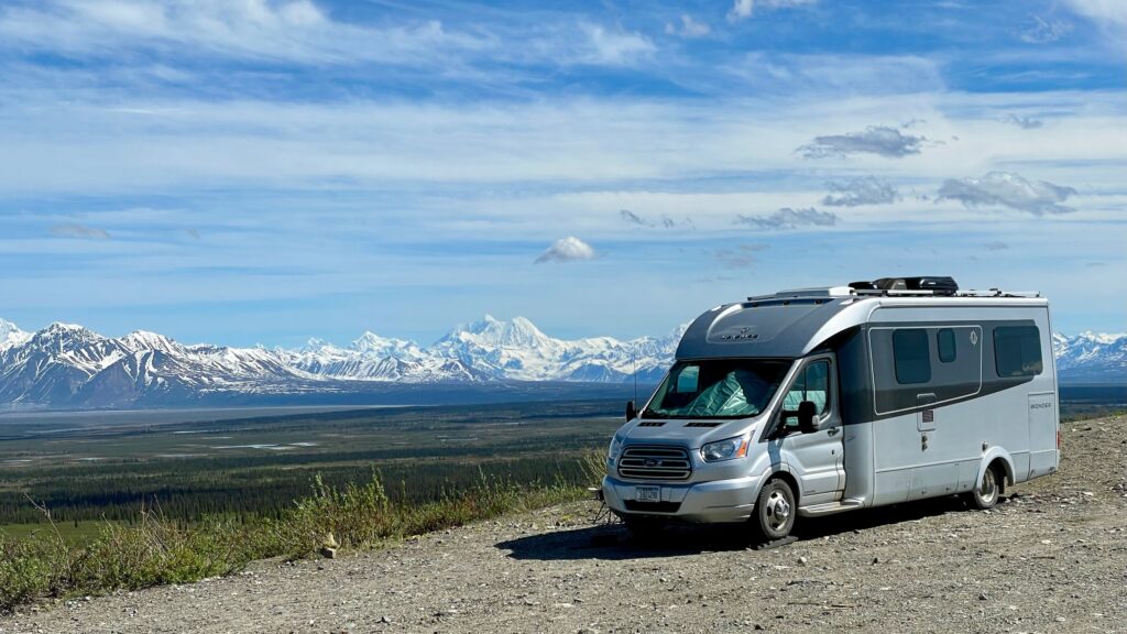
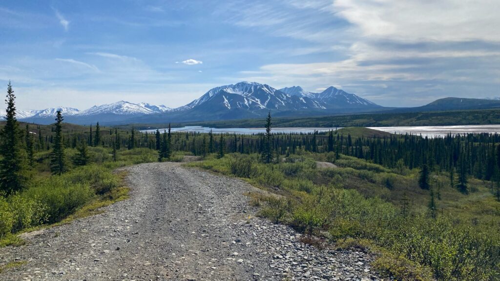
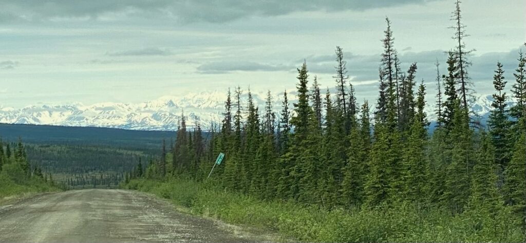
In reality, while a lot of it is not paved, much of it is chipseal so is readily drive-able at their recommended speed limit of 35mph and it offers some of the most spectacular scenery and some of the best boondocking in Alaska!
Most RVers have plenty of food and plenty of water with them, but if you’re driving a car then yes, taking extra in the event of an emergency on a road less travelled just makes sense. We don’t have the cargo capacity for a spare tire but we do carry a sealing kit with pump that can fix most issues, except a sidewall slash. With a bit of prep, you, like us, will be absolutely fine driving this road from Paxson to Cantwell where you can then continue to the Denali National Park.
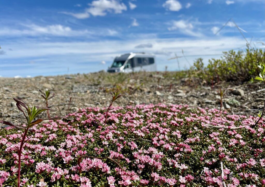
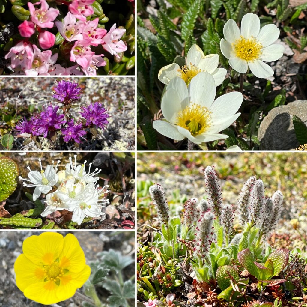
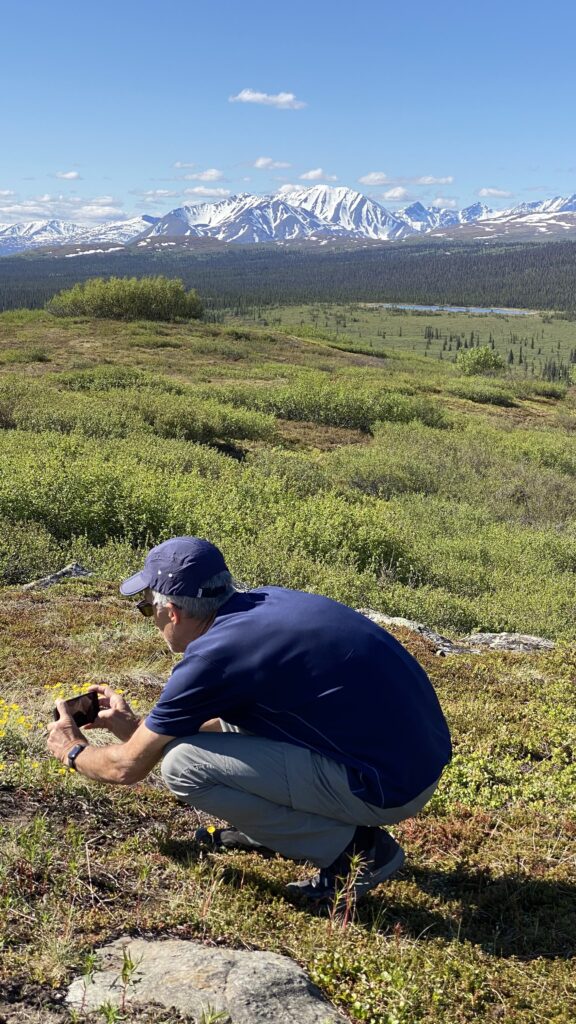
The wild landscapes in this area are a photographer’s dream as so much of the area remains untouched by man even though there is some archeological evidence of indigenous tribes that lived here.
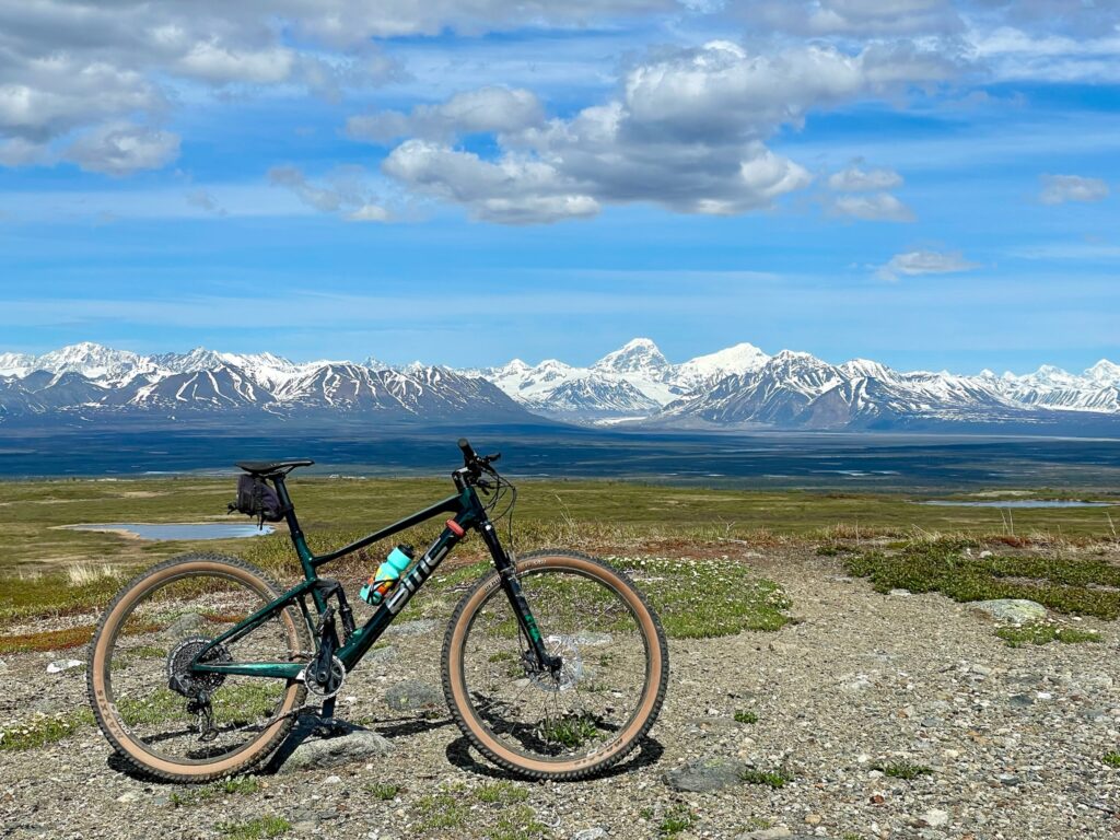
We didn’t do any rafting or any hiking in the area. Doug tried to do a bike ride but it wasn’t a great ride (see more info below on the Alaska Range). We did see a lot of ATV tracks and I suspect they really enjoy splashing around this area on 4 wheels!
What you’ll see on the scenic drive:
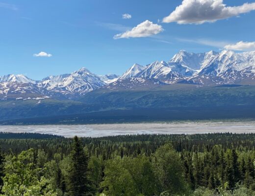
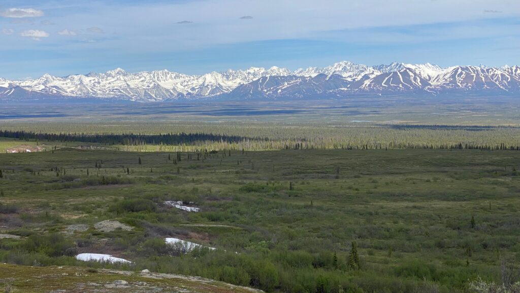
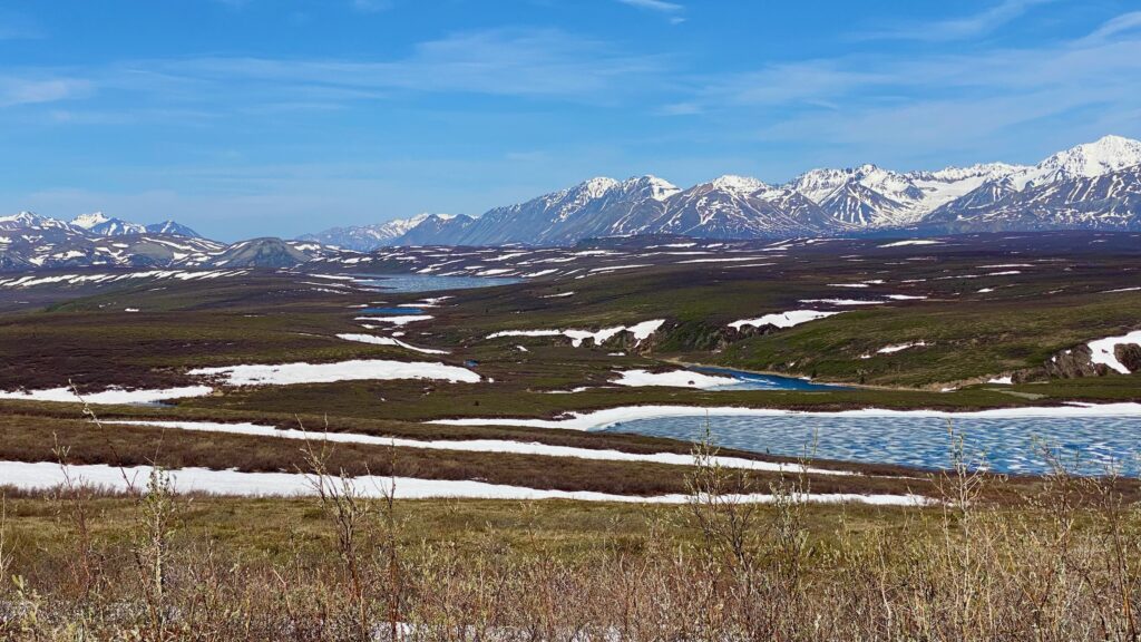
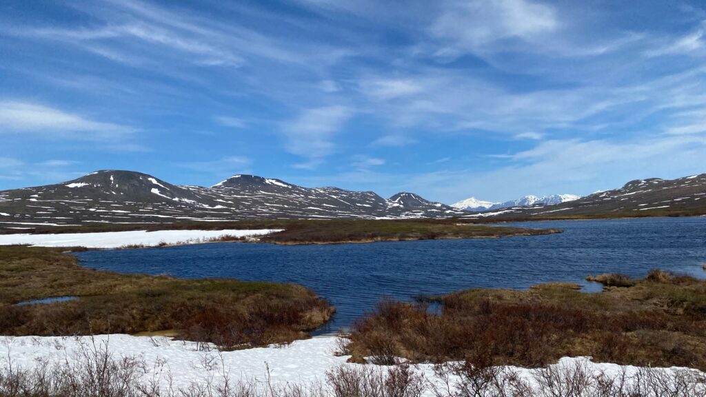
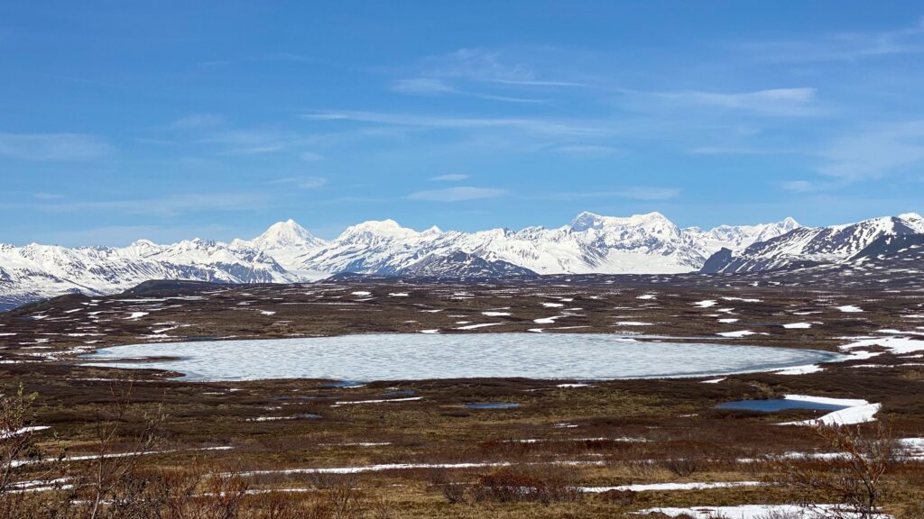
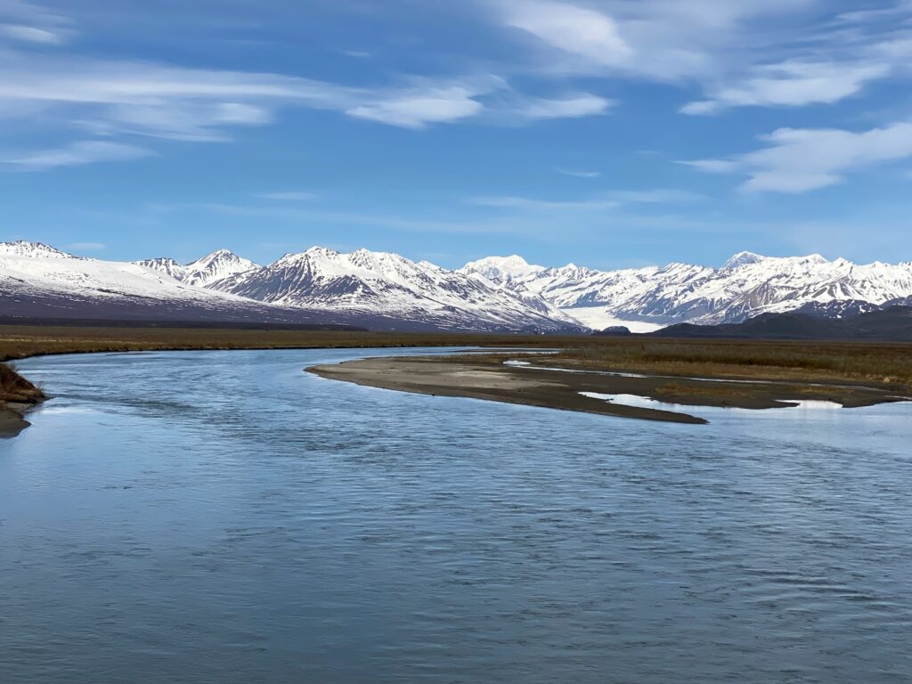
The Alaska Range
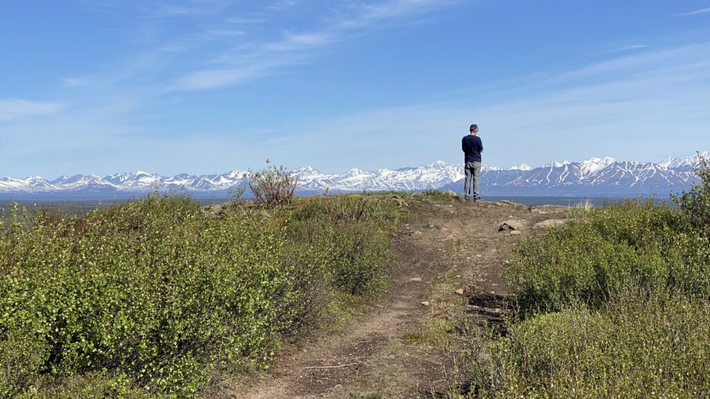
You will not be able to miss view of the Alaska Range of mountains during this drive. This saber-toothed range goes on an on (in all it is 650 miles long). Several of its peaks have elevations greater than 12,000 feet and it creates a huge arc from Cook Inlet through Denali and into Canada.
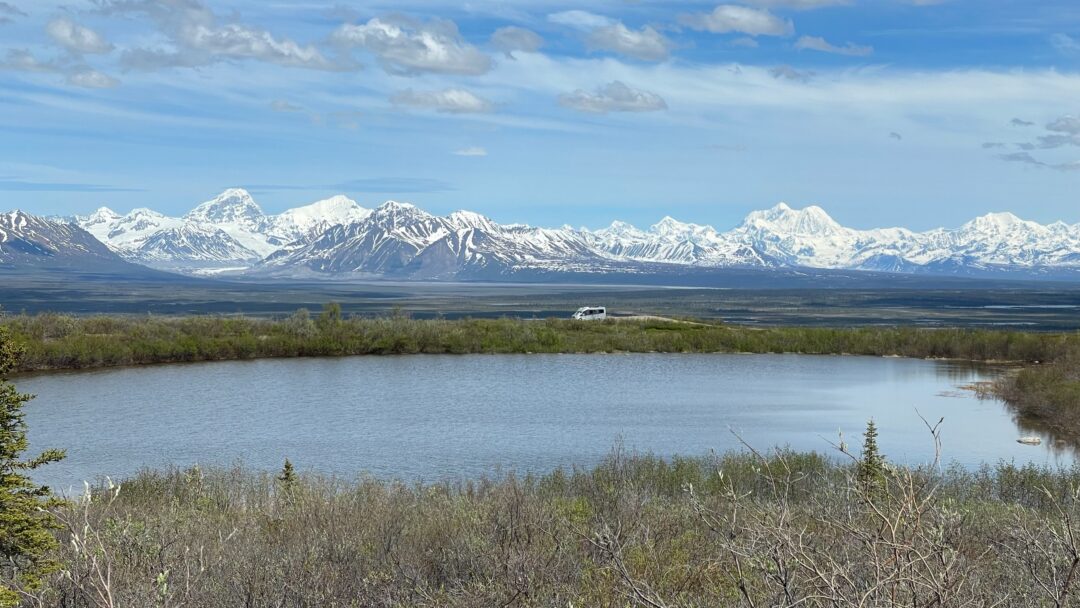
Some of the best boondocking, just off the side of the road, will have incredible views of this range. We even stayed an extra day at a pullout near the Butte Lake Trail just to enjoy the view.
Doug tried a bike ride but it was tough going. Much of this area is made up of boggy lakes and spongey tundra, which is not easy to bike (or even hike sometimes).
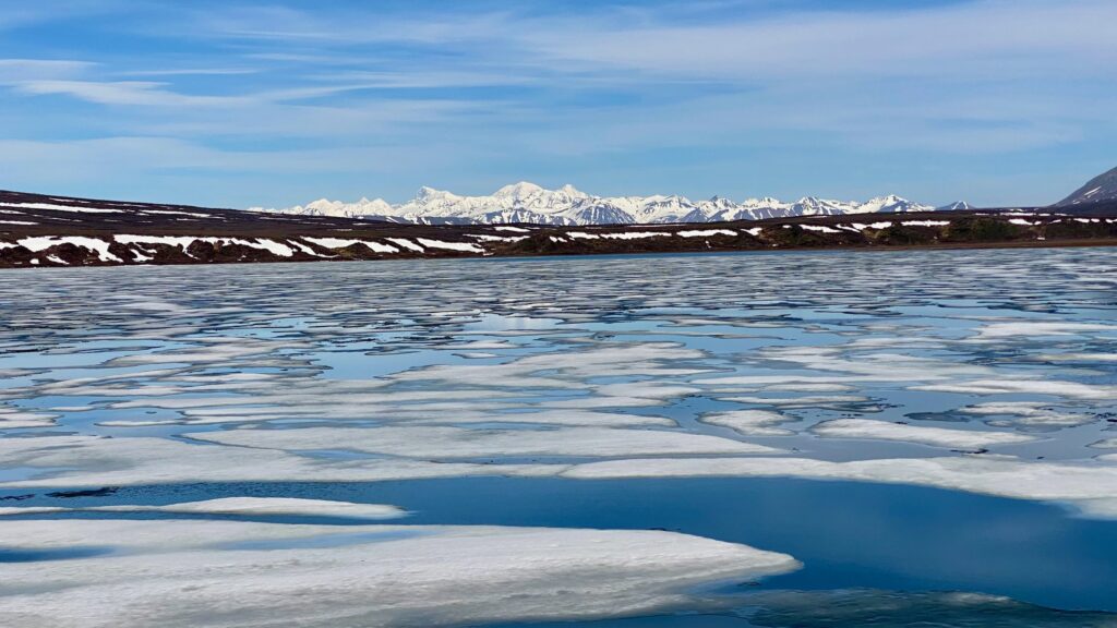
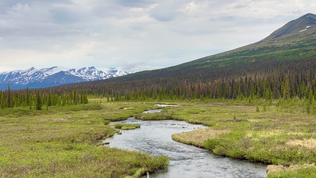
Tangle Lakes
This is a series of small, narrow lakes connected by the Tangle River. We hear canoeing is popular.
Eskers
This is a raised ridge built of silt, sand, gravel, and rocks that were carried and deposited at some point by a stream that flowed within a glacier but completely confined by its walls of ice. When the ice melted away it left these elongated mounds and some of the highway has been built atop these mounds.
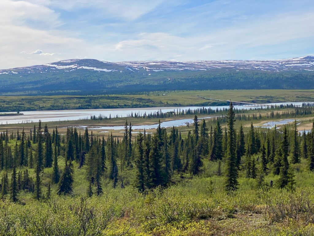
Susitna River and River Valley
This river is a major drainage system in the Denali region. Just before crossing the bridge at about mile 77-ish, there’s a short trail that has gorgeous views into this valley. A large bridge crosses the river at about mile 79.5. It is not a floatable river because of Devil’s Canyon downstream of the valley.
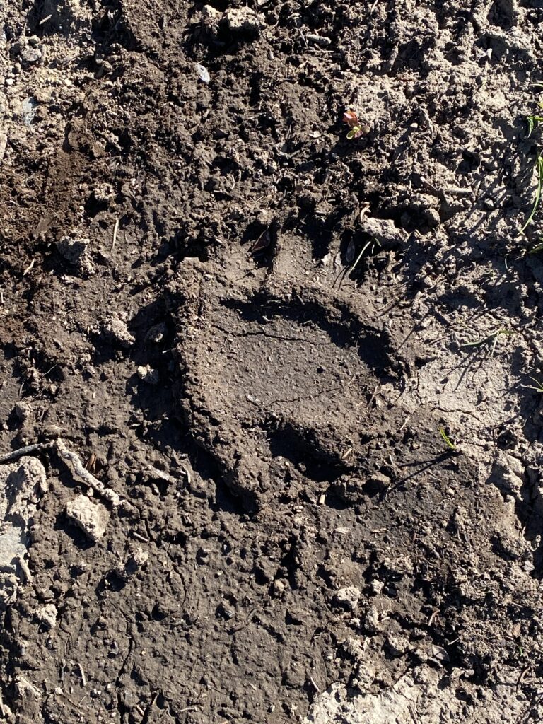
To get 360-degree view of the valley along with the Alaska Range, including Mount Deborah (12,339 ft) and Mount Hess (11,940 ft) stop at mile marker 85.5 where there’s a short climb up a small hill! Wouldn’t you know it that due to the short nature of the hike, we left the bear spray in the RV and then saw a huge bear paw print in the mud. Doug’s singing on the hike was quite good. LOL!


Nenana River
Glacier fed this huge river flows into the Tanana River west of Fairbanks which in turn flows into the Yukon River and out to the Bering Sea. It’s silty so not good for fishing, but its whitewater rapids are popular for river running and there are plenty of outfits that can help with that kind of excitement.
Denali Peak
At about mile 124 of 130, Denali Peak may be visible. Statistically, only about 30% of all people that visit Denali National Park see the top of Denali. It’s the highest peak in North America at 20,310 feet tall and approximately 80% of it rises above the surrounding landscape so you’ll hopefully see some portion of it. It’s so tall that it creates its own weather which is another reason seeing its peak is so unusual.
And so many other beautiful sites along the way!


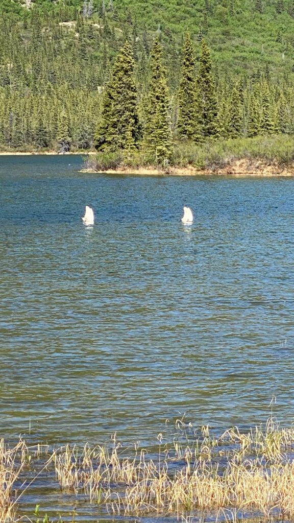
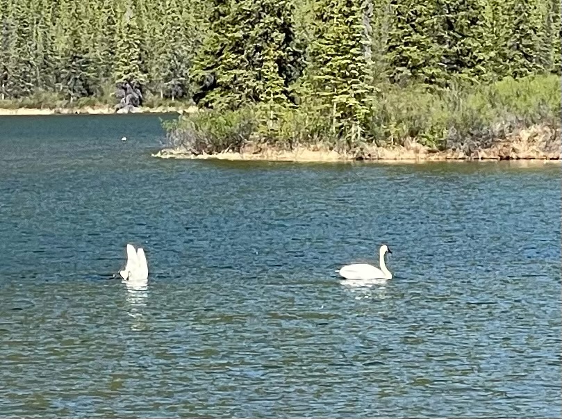
I was really hoping we’d see more animals (I mean not close up and personal) but in the distance. Really all we saw was this weird dog and some birds – a huge bald eagle and some swans, caught practicing for Olympic synchronized swimming. Despite this, I just loved that everyone was slow rolling this highway and taking their time with the views.