

Or is it?
Today was a roller coaster.
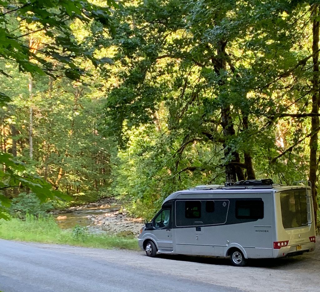
Even if you’ve never spent any time in an RV you probably know that there are 3 tanks – one with fresh water, one with grey water (think dish washing and shower water) and one with black water (bathroom waste). To keep everything working correctly this septic system requires maintenance – not just dumping when tanks are full and filling when fresh water is low – but additives that do their enzyme thing to keep things smelling good and working correctly. Since we were excited about the day’s journey, we thought we’d fill the sink and fill the toilet with water and the additive at our campsite that morning so that when we got to the dump and fill station (just 100 feet away) it would be fast to complete the task. Rookie mistake because as we drove out of our Morton City Park campsite, the water splashed out of both receptacles, giving the inside of our RV a not so nice sloshing! It was a rough way to start the day so I’m glad our destination, Mount Rainer, ended up being one of the best hiking destinations thus far.

Sunset in Morton 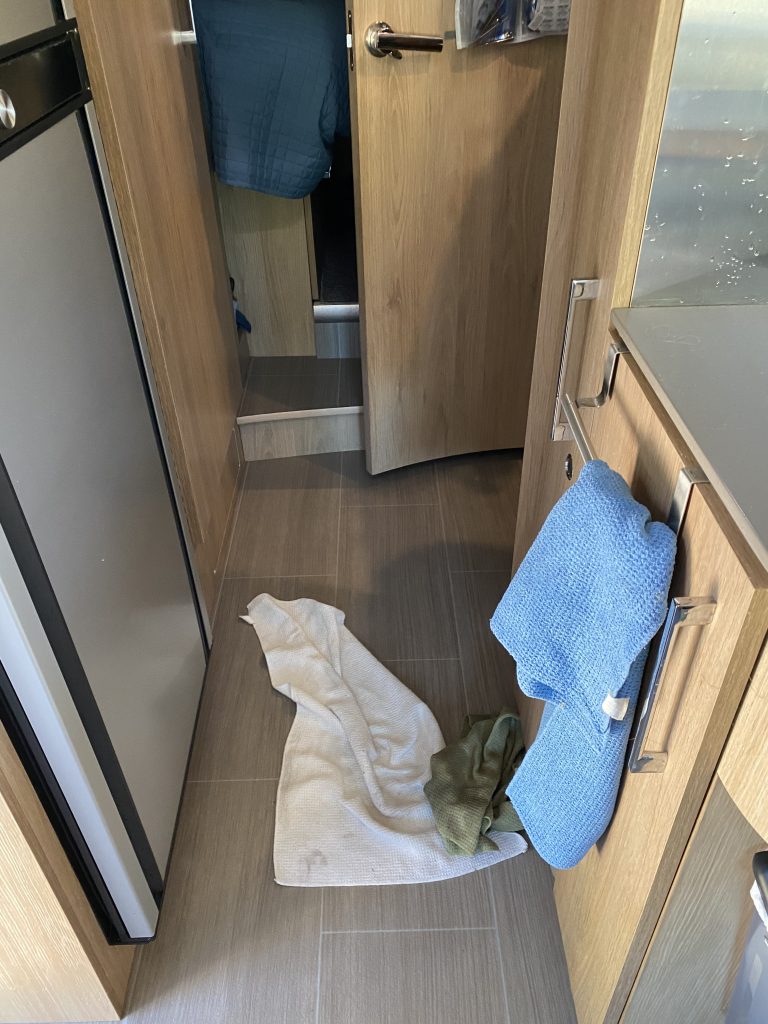
Clean Up Aisle 1 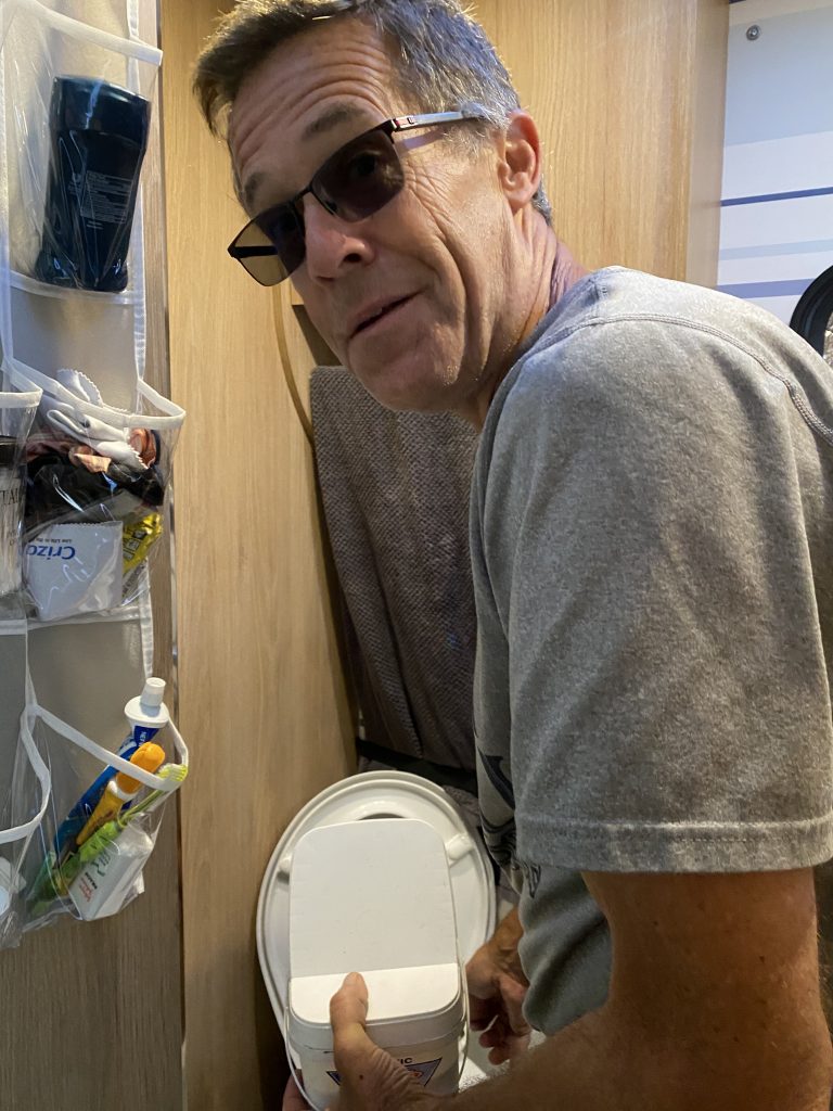
Add the Enzymes…Again
It’s week 5 and after a bit of clean up, we’re finally on our way from Morton to Mount Rainer, the nation’s 5th national park.
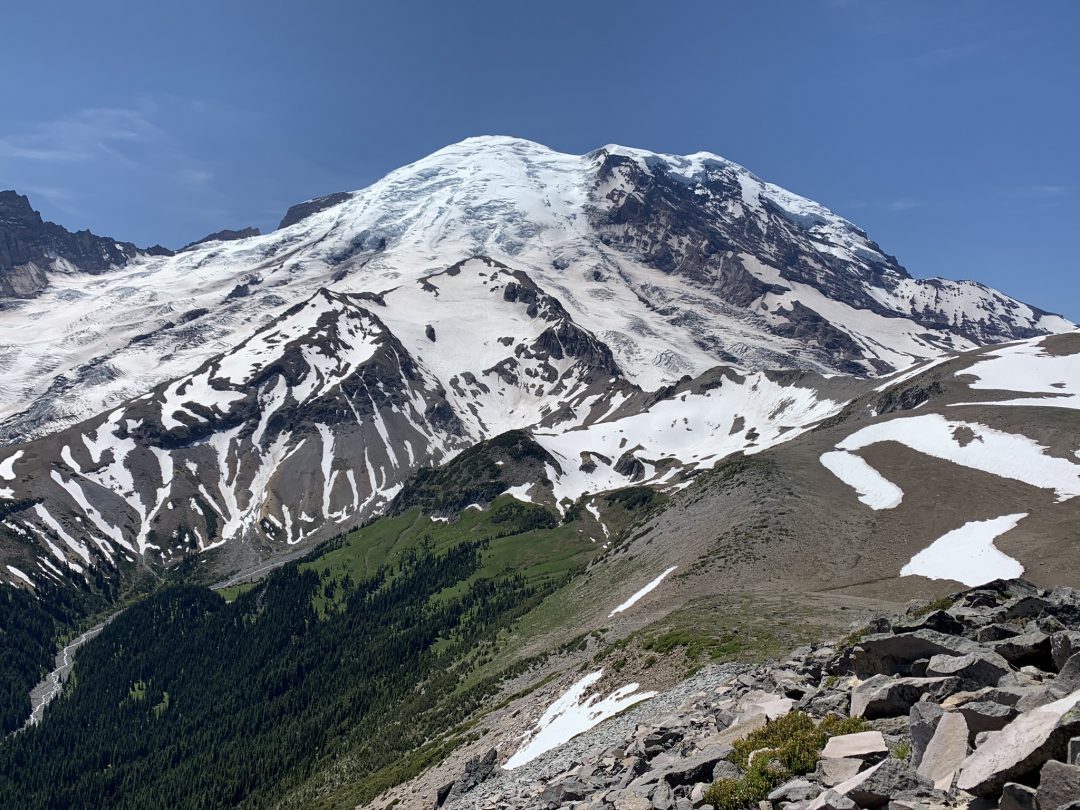
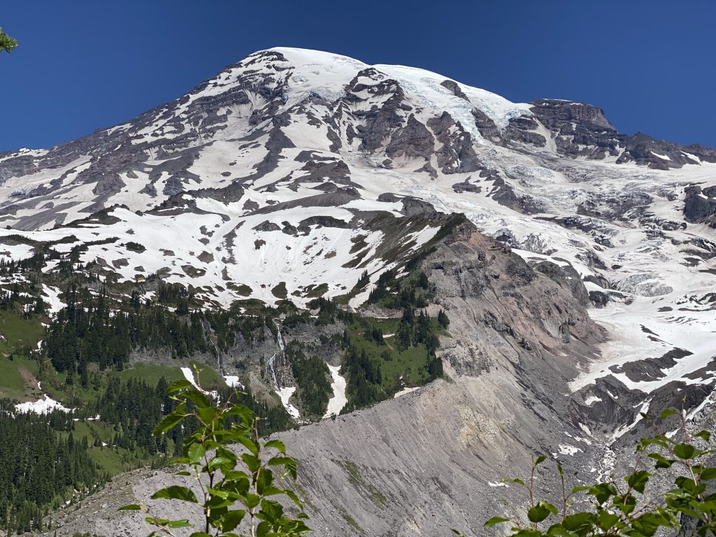
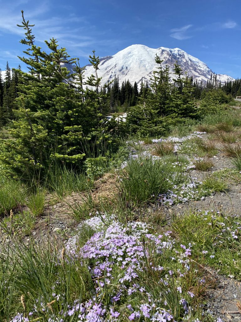
Mount Rainer is not only an active volcano but it’s the tallest volcano in the Cascade Mountains at a whopping 14,410 ft! It’s also the most glaciated peak in the continental US with rivers of ice up to 750 feet deep continually flowing down its slopes. The rivers it feeds are milky white in color, clouded with fine sediment, called glacial flour, created by the glacier grinding its rocky bed.
John Muir once said of Mount Rainer
…the most luxuriant and the most extravagantly beautiful of all the alpine gardens I ever beheld in all my mountain-top wanderings.”
John Muir, conservationist, 1889
There are two main visitor centers at Mt. Rainer and today we were headed to the south entrance towards Paradise, a premonition of things to come.
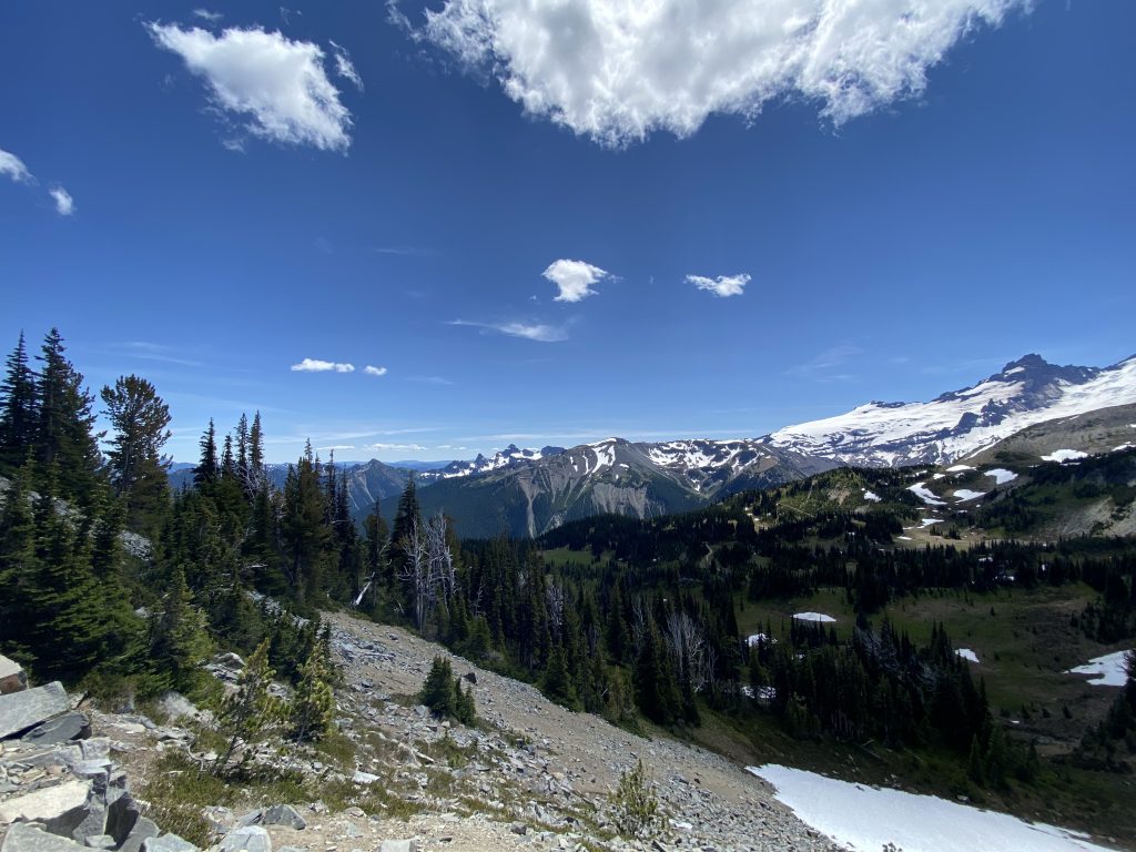
On the drive up to the visitor center, you get peek-a-boo-views of the snow-capped mountain via switchbacks that take you through forest green pines and nearly lime green deciduous trees. The Paradise parking lot sits at 5400 feet but standing at this visitor center you’re still dwarfed by the bowl of surrounding mountains including the deep purple sawtooths of the Tatoosh Ridge opposite Mount Rainer. Even if you don’t plan to hike, take the drive. It’s amazing!
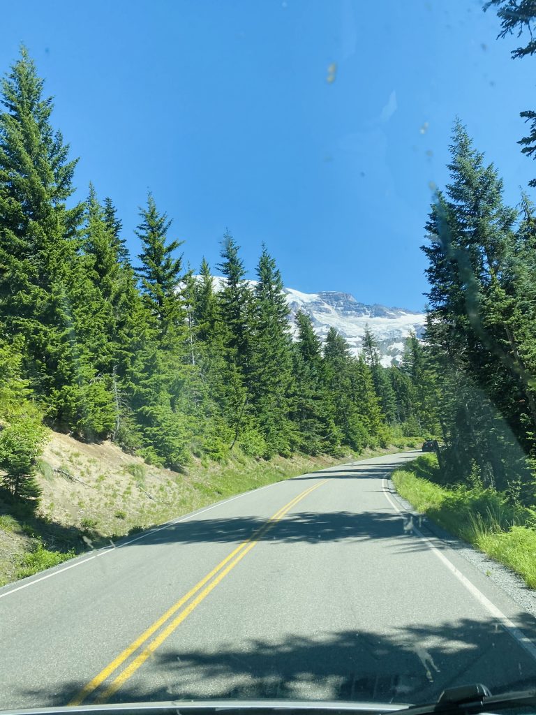
Drive to Paradise 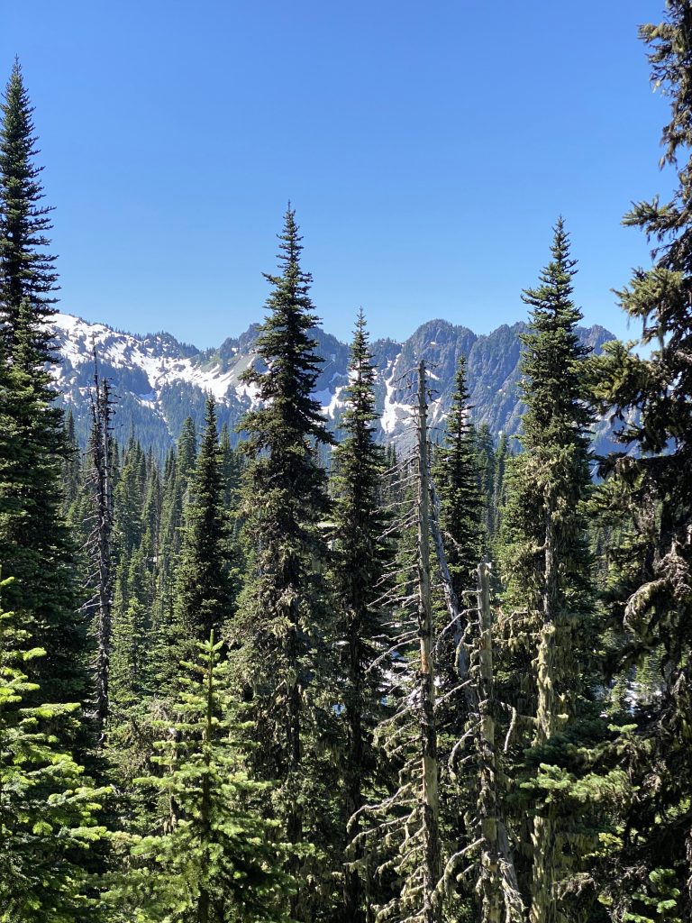

Find Baloo (our RV) in Paradise
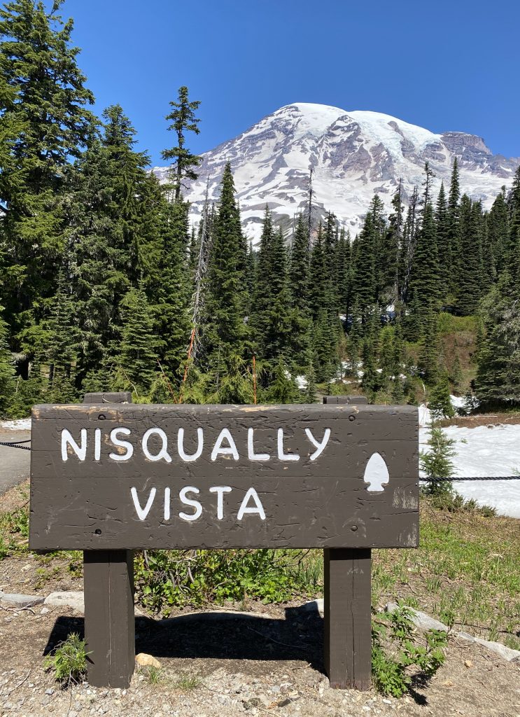
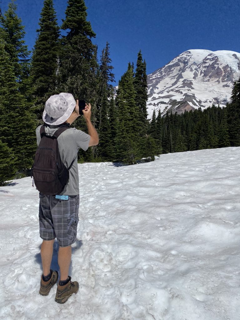
It’s mid-July and the ranger informs us that many of the trails still have snow on them. We start the day with a hike called the Nisqually Vista which did require us to cross packed snow banks several times to resume the trail but other than that, the short, 1.6 mile loop is easy – level, wide and not very steep. Mid-way through the loop Mount Rainer looms and you’re close enough to see the ice caps and the flow of the milky river off its surface.
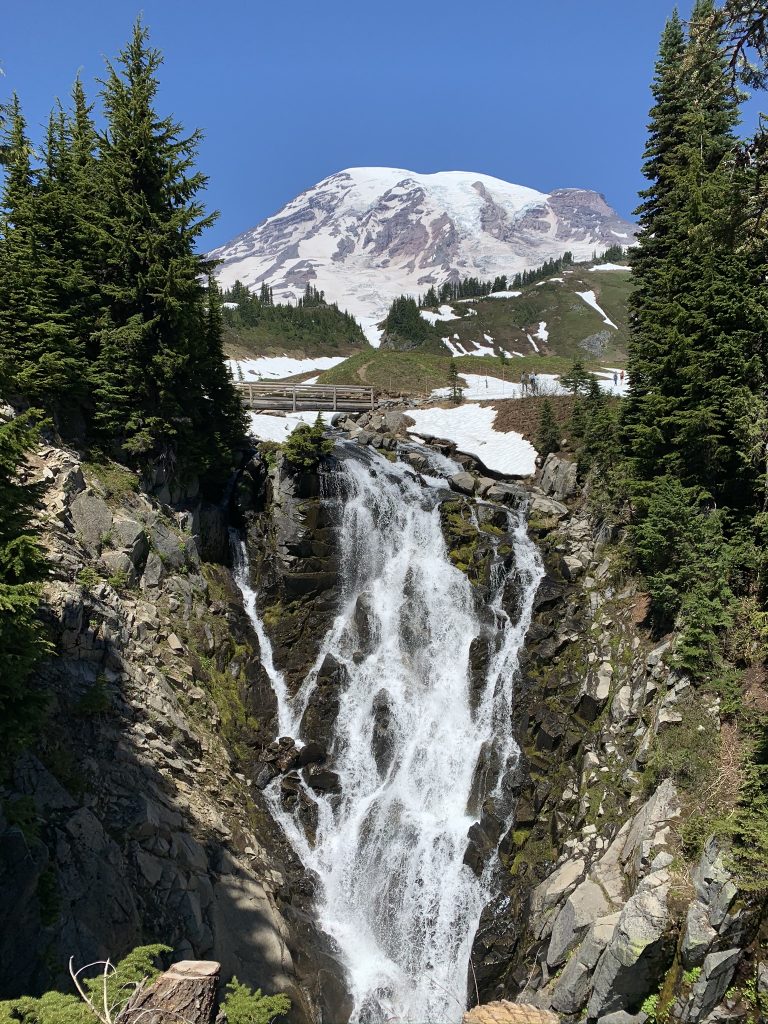
Upon return to the visitor center we decided to do another short, 1.6 mile, out-and-back hike to Myrtle Falls. It’s mostly uphill but worth the effort for a great Mount Rainer photo. Say “breathe”.
We boondocked that night off the side of a paved forest road. The location was BEAUTIFUL and flat, but Boondocking Bailey gives it only 2 paws up because we had traffic headlights and noise until late into the evening.
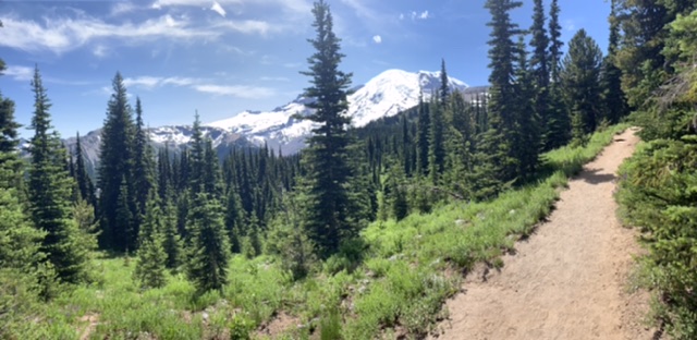
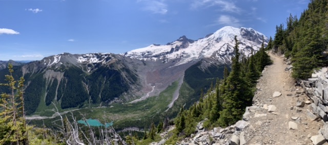
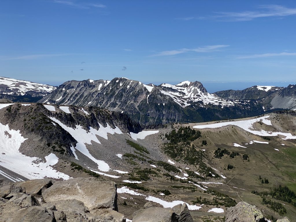
On day 2, we drove into the park’s eastern entrance to get to the Sunrise Visitor Center with the goal of hiking from the visitor center out to Frozen Lake, which supplies fresh water to the lodge at Sunrise. Coming out of the parking lot the trail is steep but in good shape. Once we got to the top, we were rewarded with a valley view where in the distance, mountain goats were grazing. It was a nice place to stop and catch our breath.
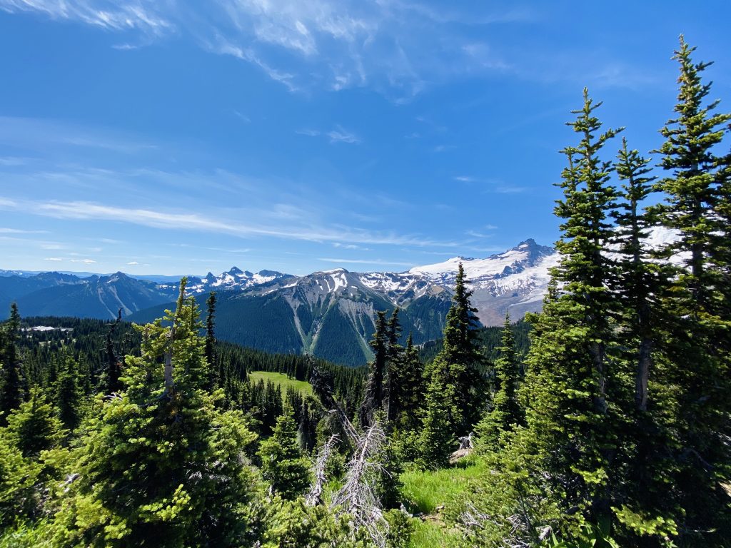
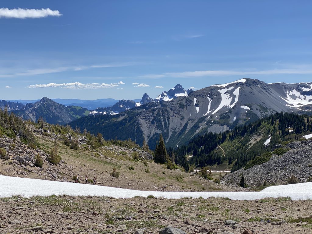
As we continued, the trail seemed to plateau and then bob up and down as it hugged the mountain side and looked out on ridge after ridge of incredible scenery. Layers and layers of mountains, beautiful tree covered hillsides, grassy and wildflower patched valleys. If you’re not used to the altitude it can literally take your breath away, but it’s so beautiful that your feet can’t help but propel you forward. You drop down to the lake, which it turns out, is not the reason for this trail’s popularity.
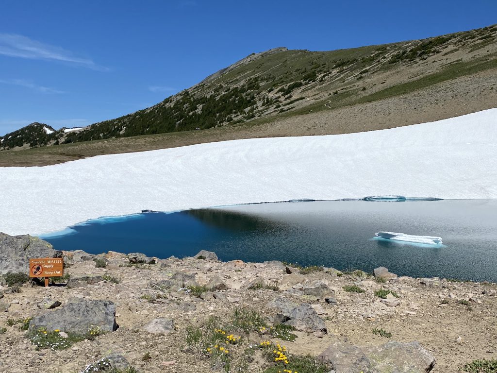
Our original glacier lake destination
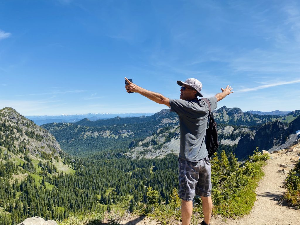
Having come this far and with Mount Rainer standing proud and closer than ever, we decided to hike further to the “First Burroughs”, named for naturalist and essayist John Burroughs. This trail is identified as “strenuous” because it goes straight up the side of the mountain. After 12hr days at a desk job for the last 5 years, I wasn’t too sure if I’d make it to the top but with Doug’s patience and the promise of lunch, I did. The 360 degree views here are surely some of the best in the US.
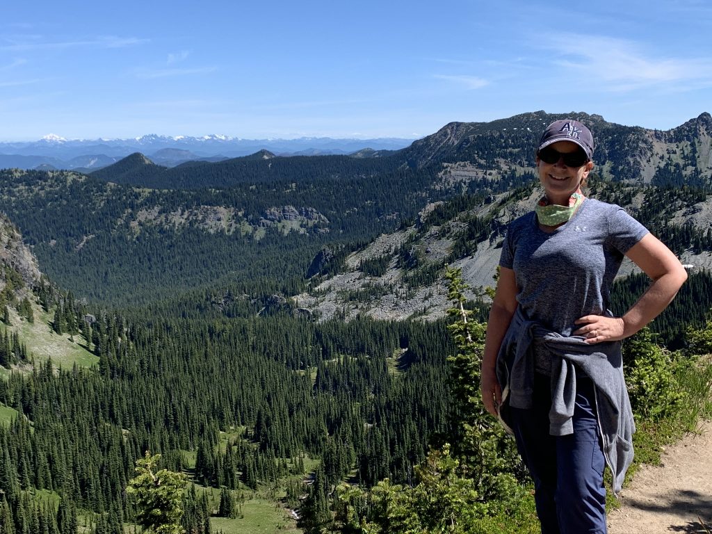
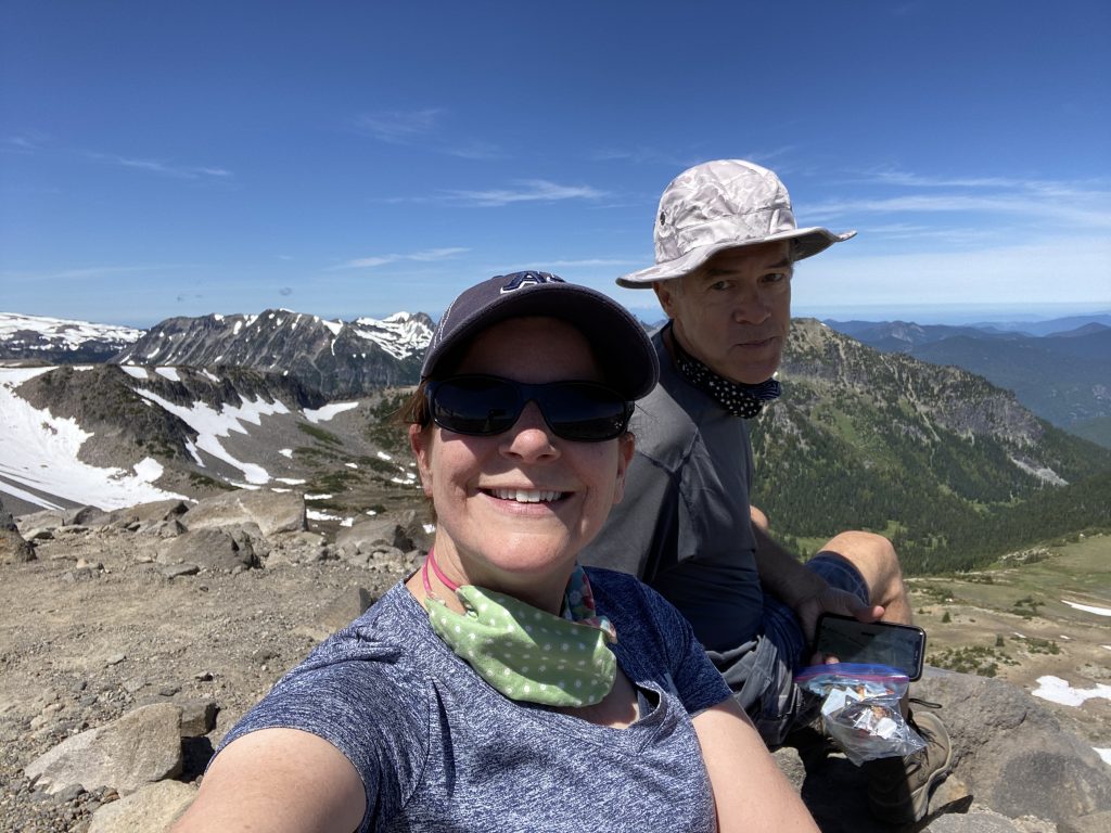
I made my way back the 2.5 or so miles we’d come and Doug continued to the Second Burroughs, ultimately making a full loop. I was sure it couldn’t be more beautiful than our lunch spot but his pictures suggest otherwise and Doug still lists this hike as one of the highlights of the trip so far.

With tired legs, a few blisters, but huge smiles on our faces we discovered we were going to have a tough time making a previously scheduled zoom conference/reunion call amongst all of Doug’s cousins – so with no delay we headed north and west towards the Seattle/Tacoma area in search of cell signal. It took forever to see the “magic bars” of cell signal appear but when they did we quickly pulled off the highway at some sort of side spur and were only 2 minutes late to the call (a birthday surprise for Doug’s cousin, David).
Since then, we’ve tagged the hikes at Rainier, and particularly the Burroughs Mountain Trail, as the one to beat!