We spent part of my December 2021 birthday weekend planning the first half of our east coast trip with only one requirement – to make it to Washington DC by the second or third week of May to meet up with my mom and brother, checking off a bucket-list item.
We discovered later that most of the campsites in the Great Smoky Mountains aren’t even open until May 1st so, happenstance, our timing through them as we headed for DC was perfect!
We spent 6 wonderful days in the Great Smoky Mountains, but could have spent many more. It’s THE most visited national park in America, with over 14 million visitors annually (for perspective this is more than the Grand Canyon, Yellowstone, and Yosemite combined!) and for good reason. This national park:
- Is free
- Has some of the oldest mountains on earth (between 200-300 million years old),
- Is fairly large at 500,000 acres divided almost evenly between Tennessee and North Carolina. In terms of size it’s #19 of the 63 National Parks. Plus it has 800 miles of trails and over 2,100 miles of river.
Here is some of what we did while there:
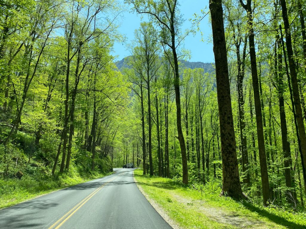
We drove all around the park
We drove through Bryson City, Cherokee, Gatlinburg and Townsend as we moved from campsite to campsite almost every night so that we could see different areas within the park. We stayed at Cades Cove Campground, Smokemont Campground, and a KOA near Townsend.
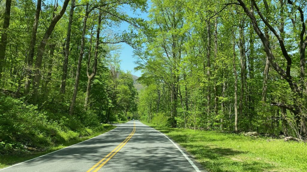
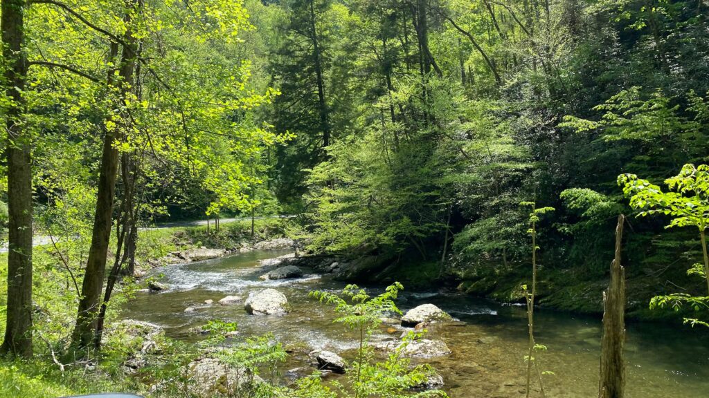
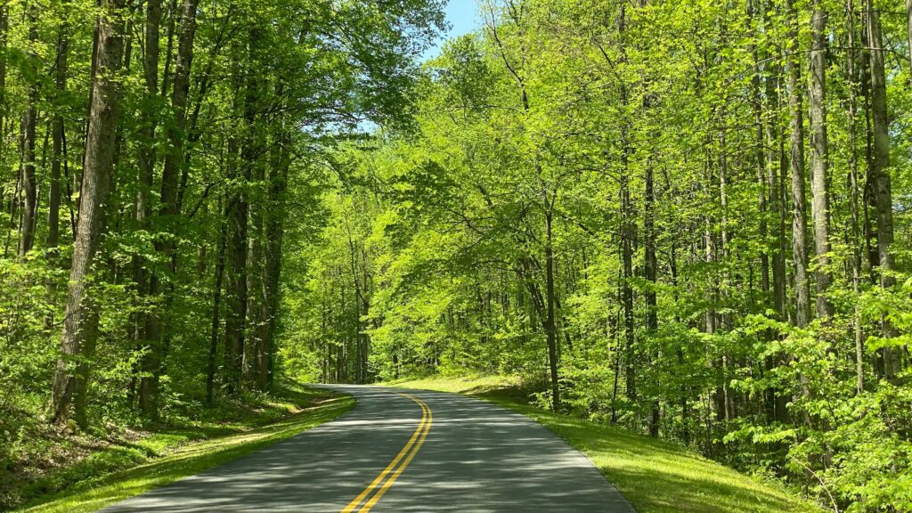
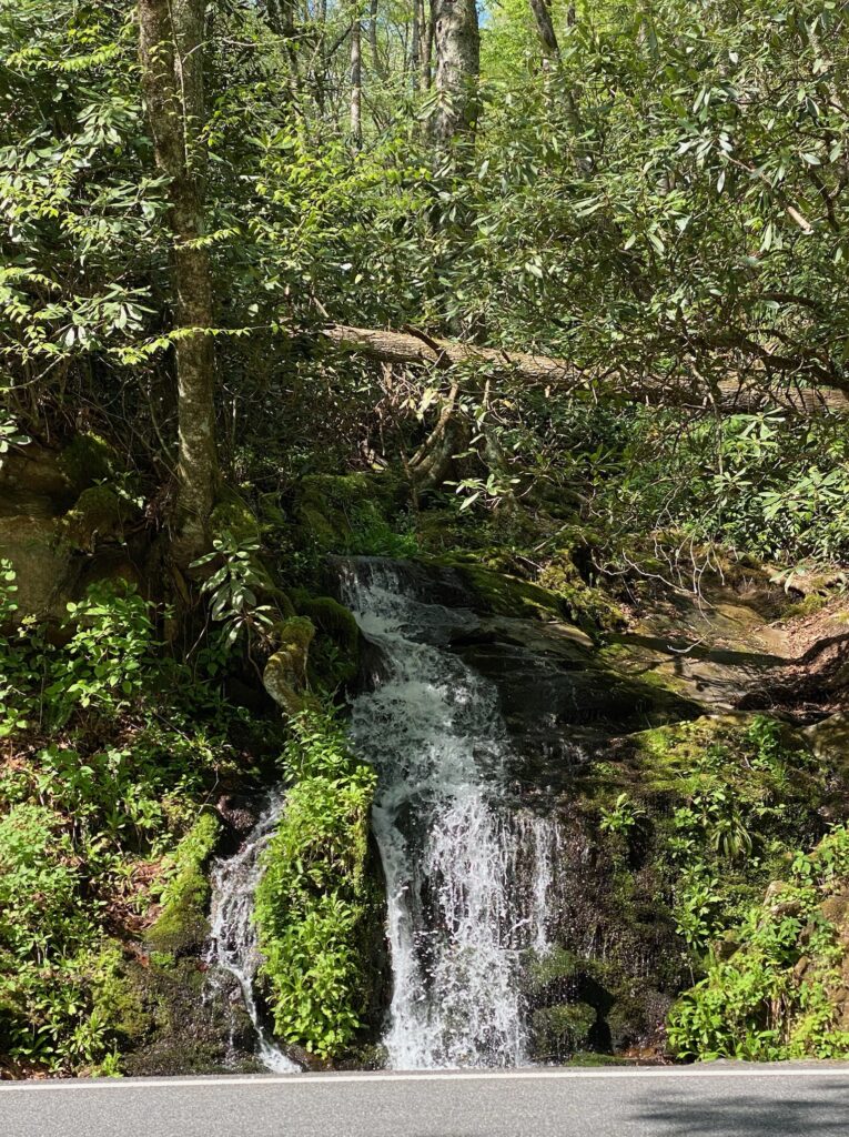
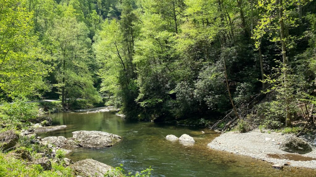
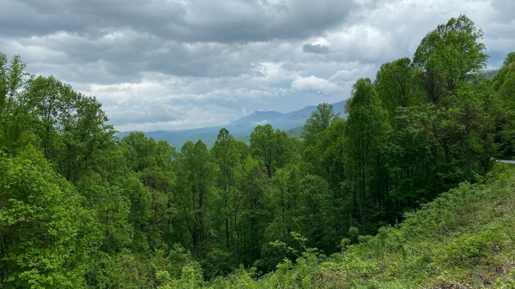
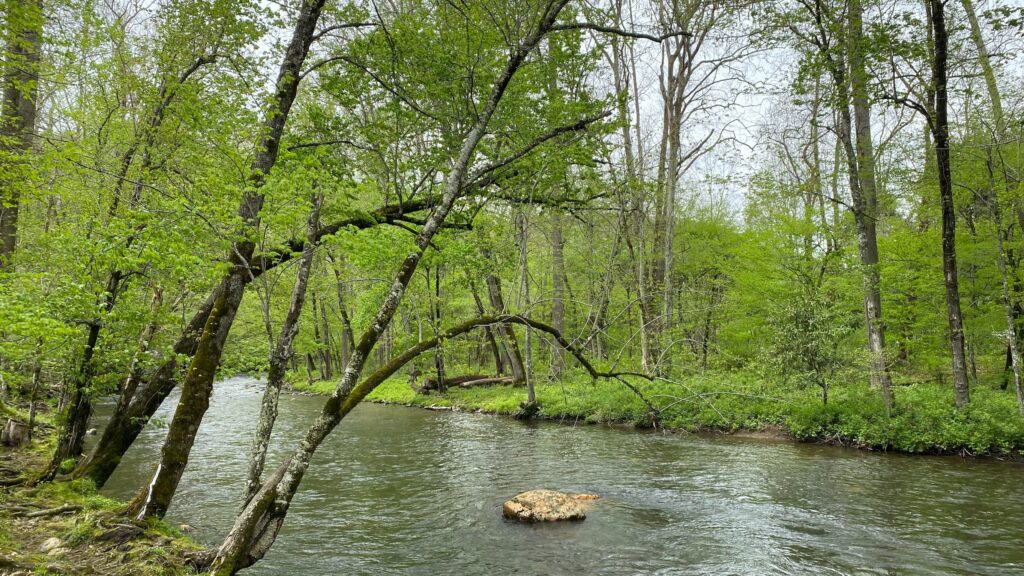
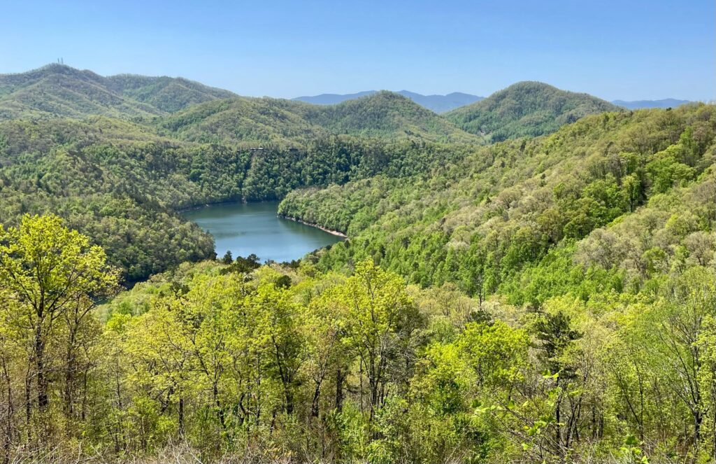
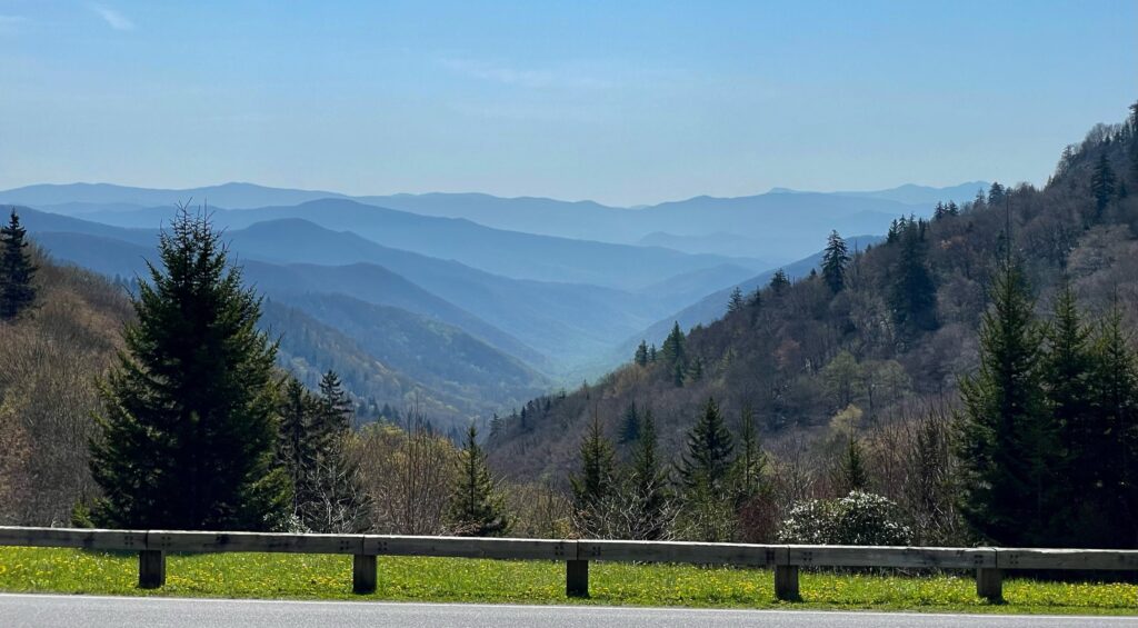
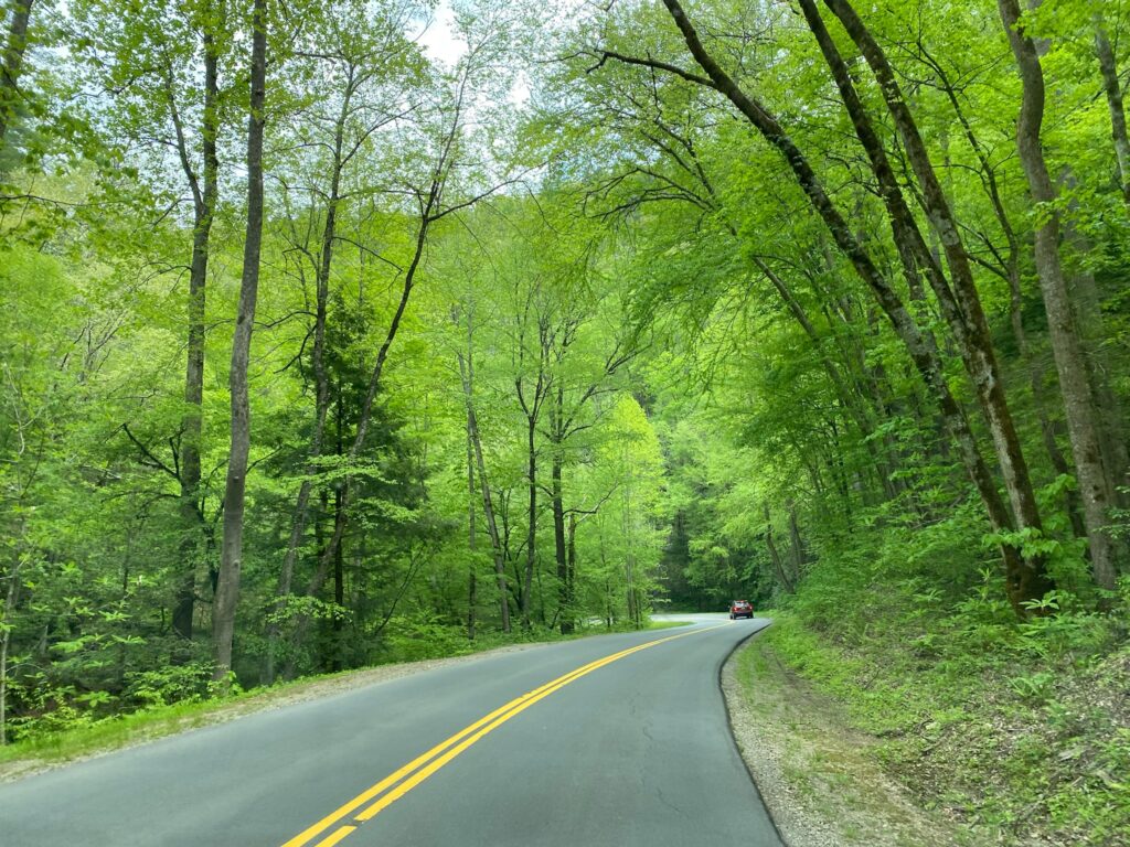
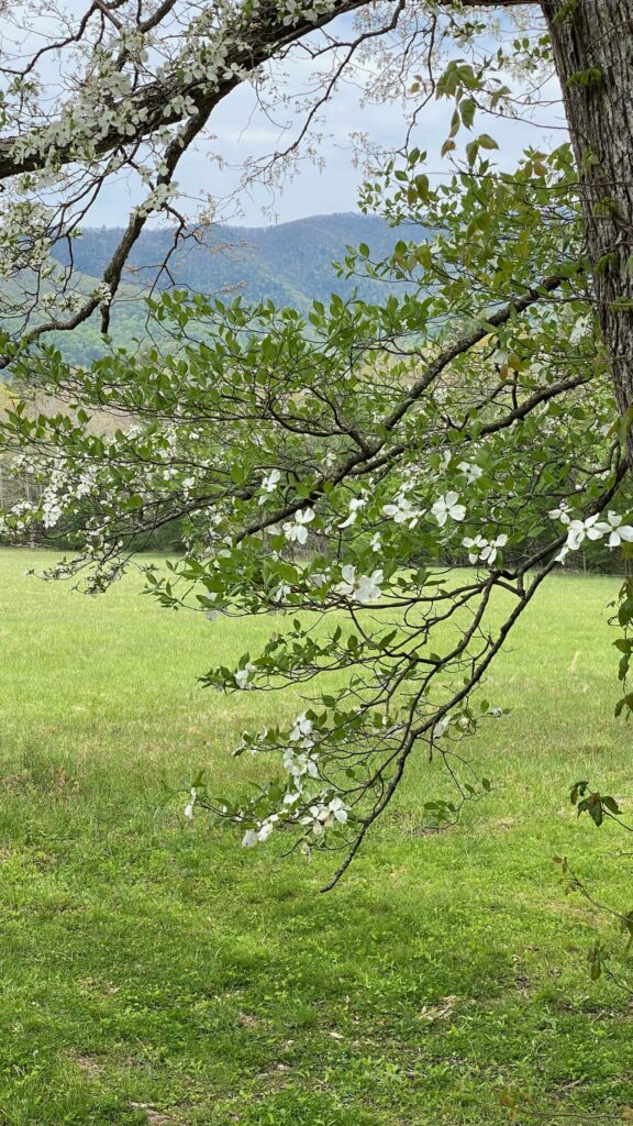
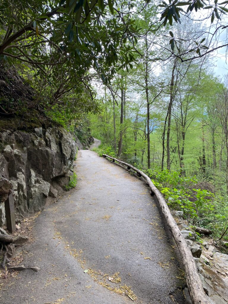
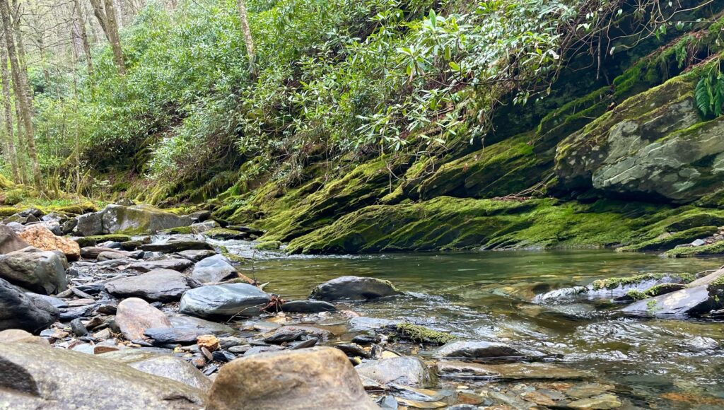
My favorite drive was along Little River Gorge which travels between Gatlinburg and Townsend. The sun was out (after several overcast days), the road is smooth and twists quietly under a canopy of green and all of this led to me getting a little nutty with the photos. I took over 100, which was completely uncalled for, and frankly, a nightmare to pare down, but here are a few.
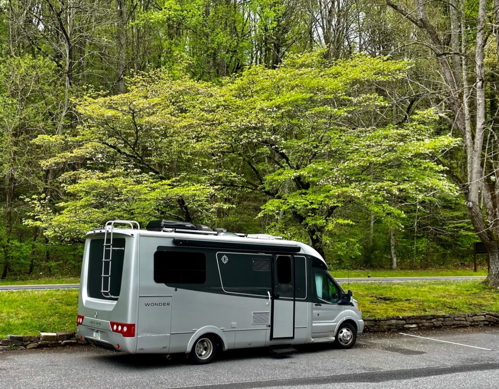
Visited the Cherokee Visitor Center
At the Cherokee Visitor Center, we learned about the history of the park. It came at a pretty hefty price – 1,200 families were removed from their land to create the park and that is after the Native Americans were moved as part of the Trail of Tears during the 1830s and 1840s from their land to Oklahoma due to Andrew Jackson’s policies.
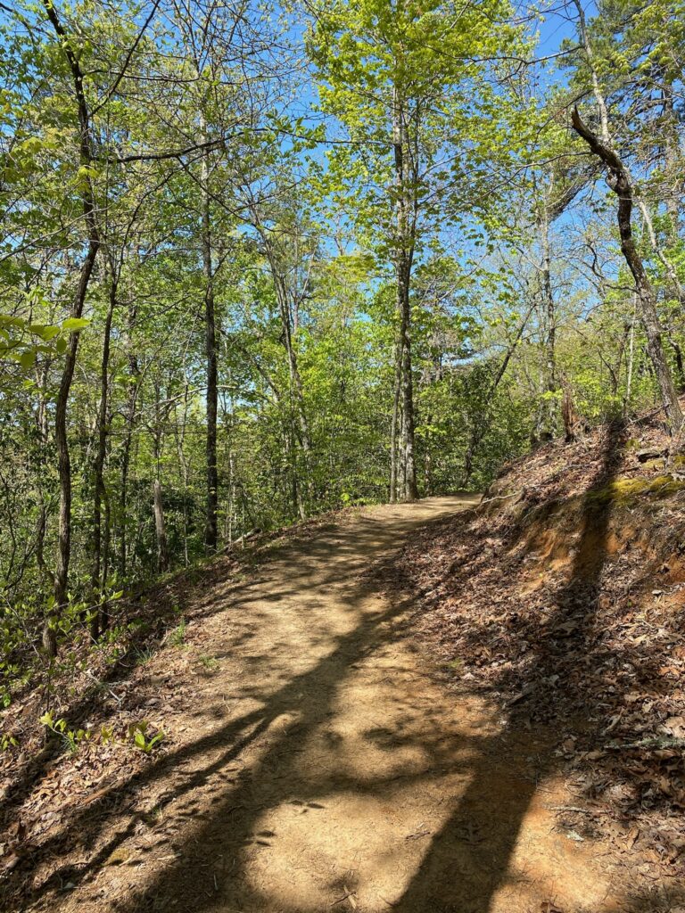
Hiked Along the Road to Nowhere
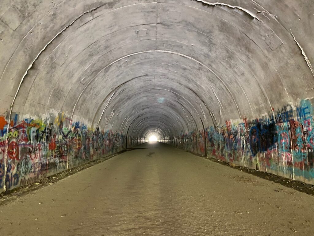
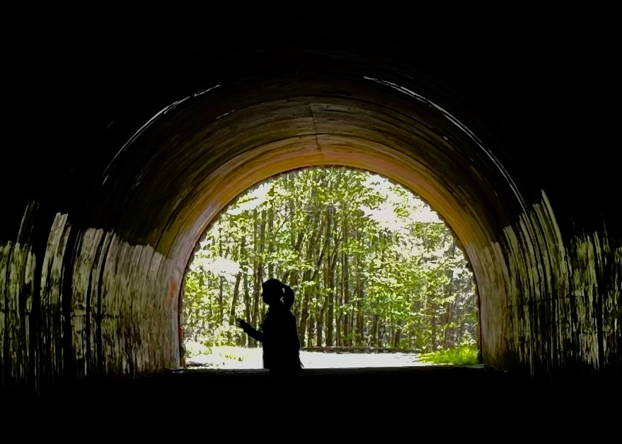
To build the Fontana Dam (completed in 1941), many homes, towns and villages would be flooded out. To assuage a displaced community, the dam builders agreed to build a road from Bryson City to Deals Gap along a route north of the river. The people were moved, the dam was built. However, 30 years later, only a small portion (about 7 miles) of the road had been built, ending abruptly at a tunnel. It doesn’t appear it will ever be finished due to new environmental concerns raised in the 1970s so the county has been awarded a $52 million dollar settlement as compensation, but as of 2016, only $12million has been paid out.

Hiked Deep Creek and Mingo Creek
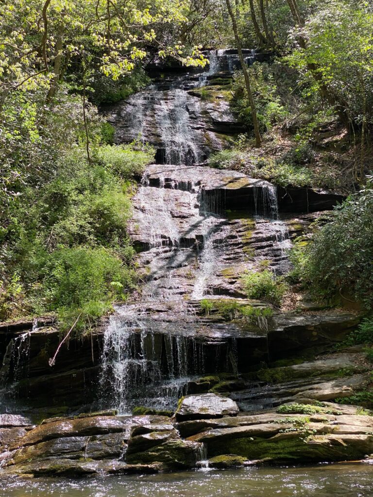
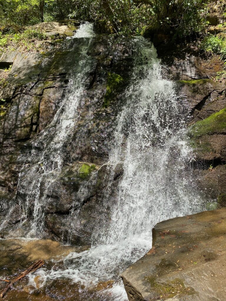
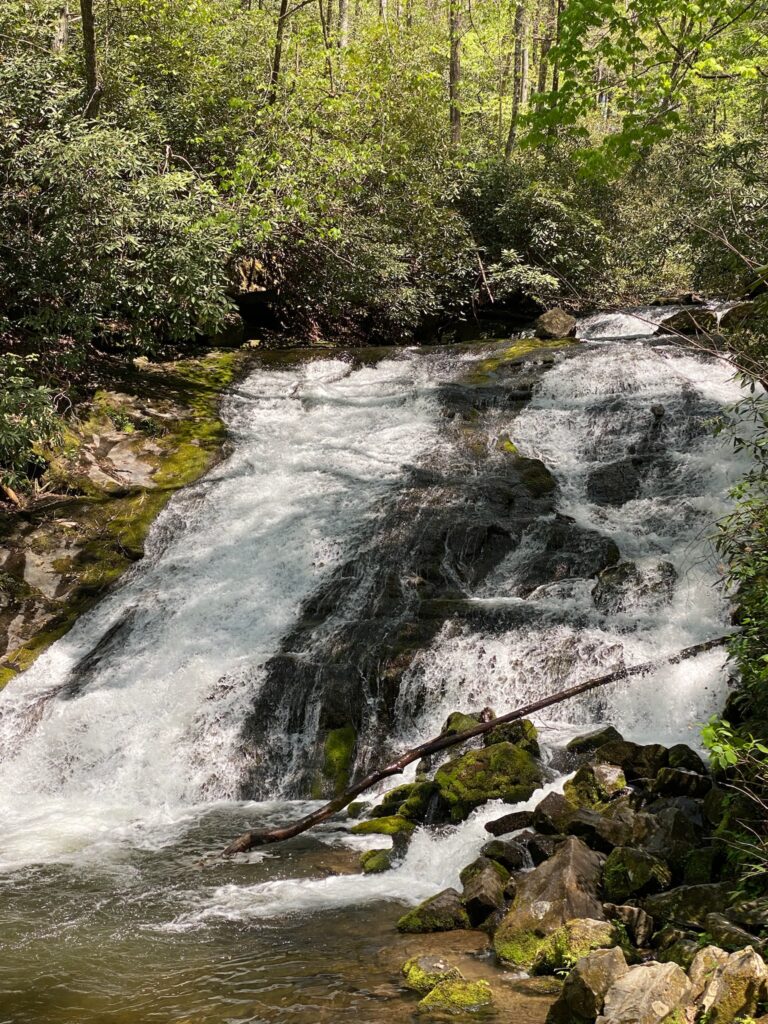
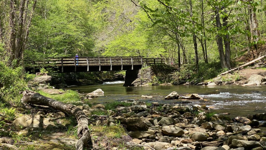
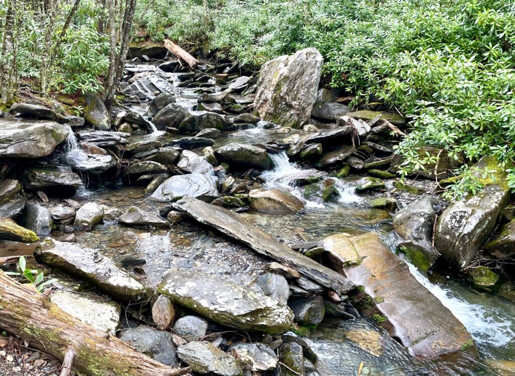
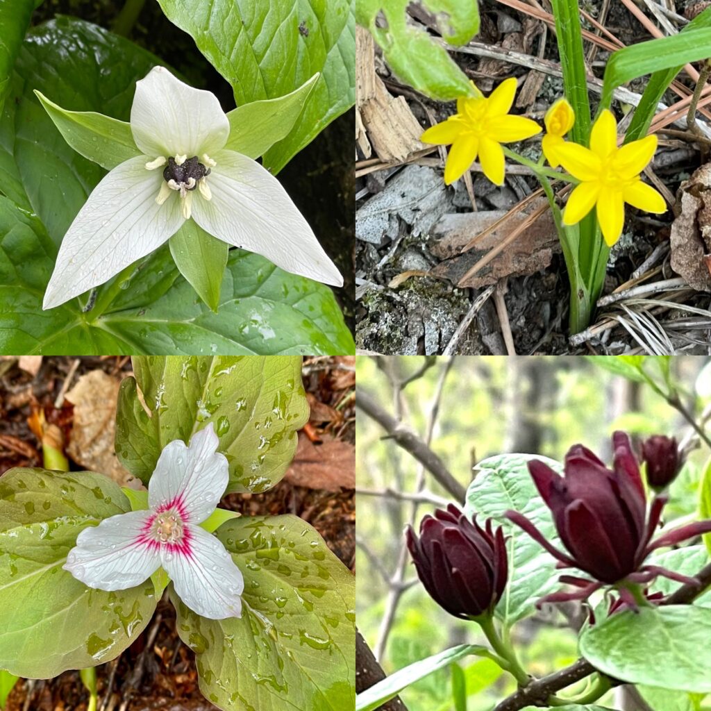
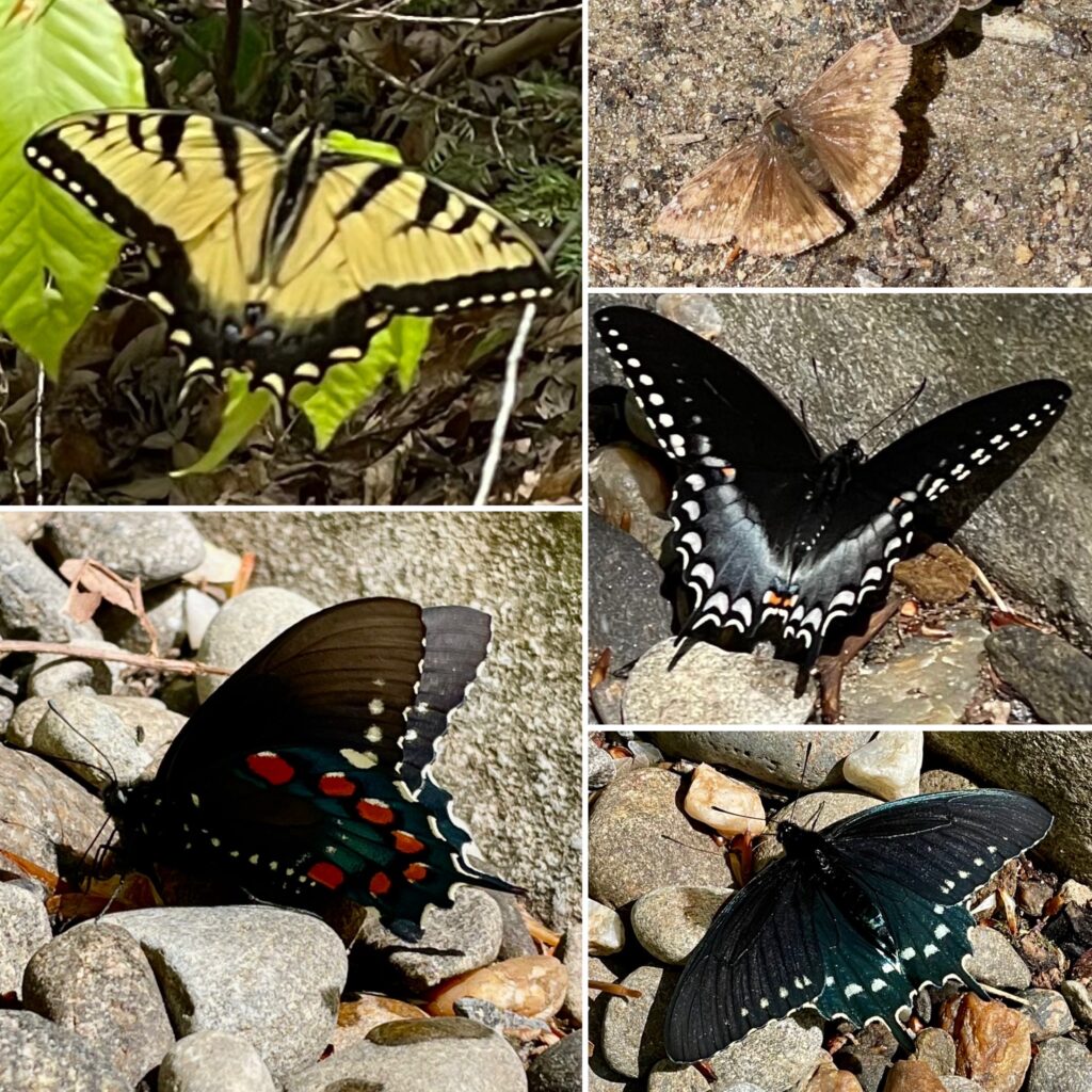
Deep Creek Falls Trail is wide trail that follows a river and several falls can be seen without ever leaving this path so there were lots of families walking it together. Juney Whank Falls is an off-shoot loop from this main trail but worth a visit. The flowers were blooming so a lot of local were out looking at them and we saw variety of butterflies down by the edge of the river.
Later that afternoon we drove to the tiny parking lot for Mingo Creek Falls. This is a short hike with lots of stairs. At the top of the stairs and just around the corner is a small wooden bridge that crosses directly in front of Mingo Falls.
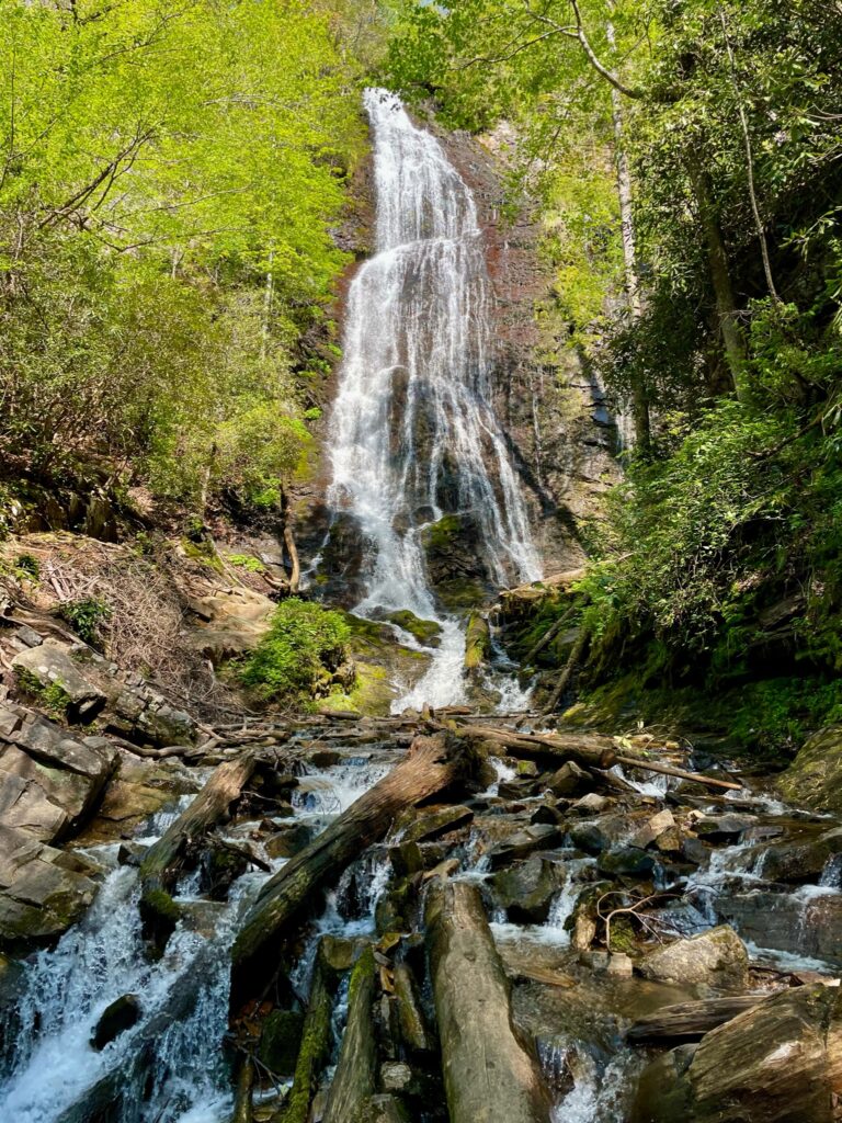
Mingo Falls
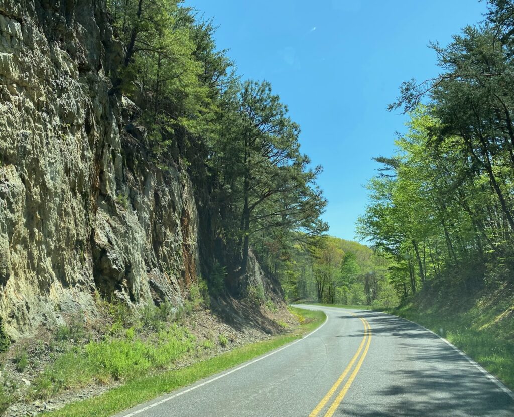
Walked up to the Observation Deck at Clingman’s Dome
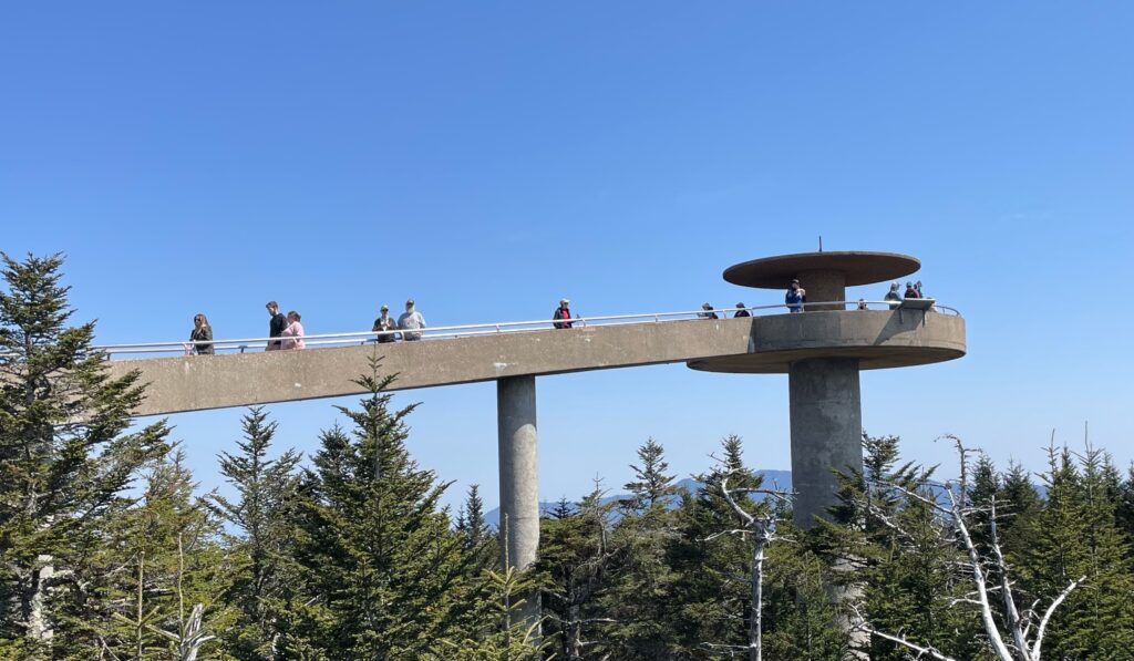
Clingman’s Dome is the tallest mountain in the Great Smoky Mountain National Park. The drive to the Visitor Center there is pretty and the 0.5 mile walk up to the observation tower on the summit offers 360 degree views of the surrounding mountains and valleys. This steep but paved hike provides classic Smoky Mountain pictures.
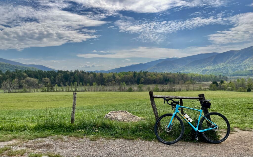
Biked the 11-Mile Cades Cove Loop (our favorite day!)
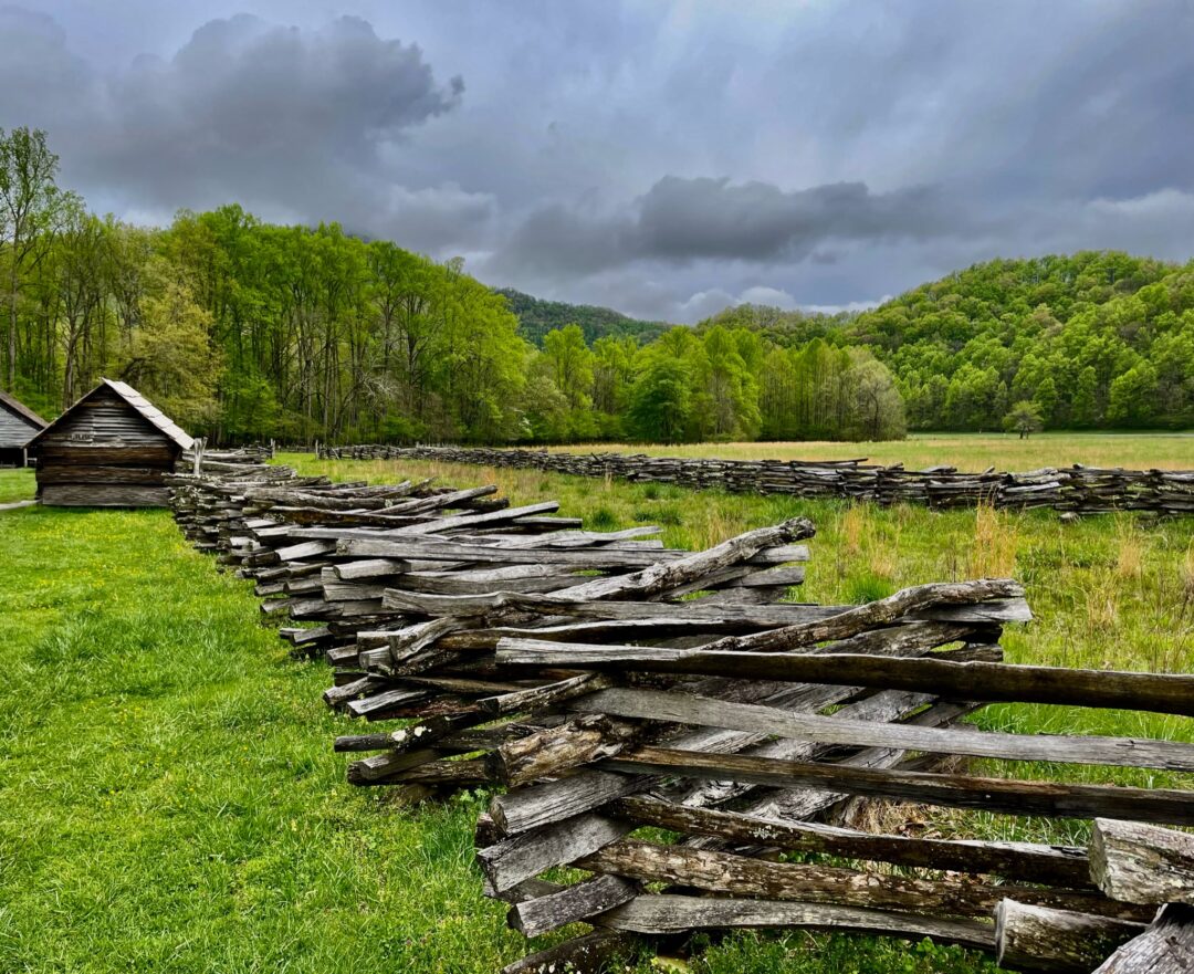
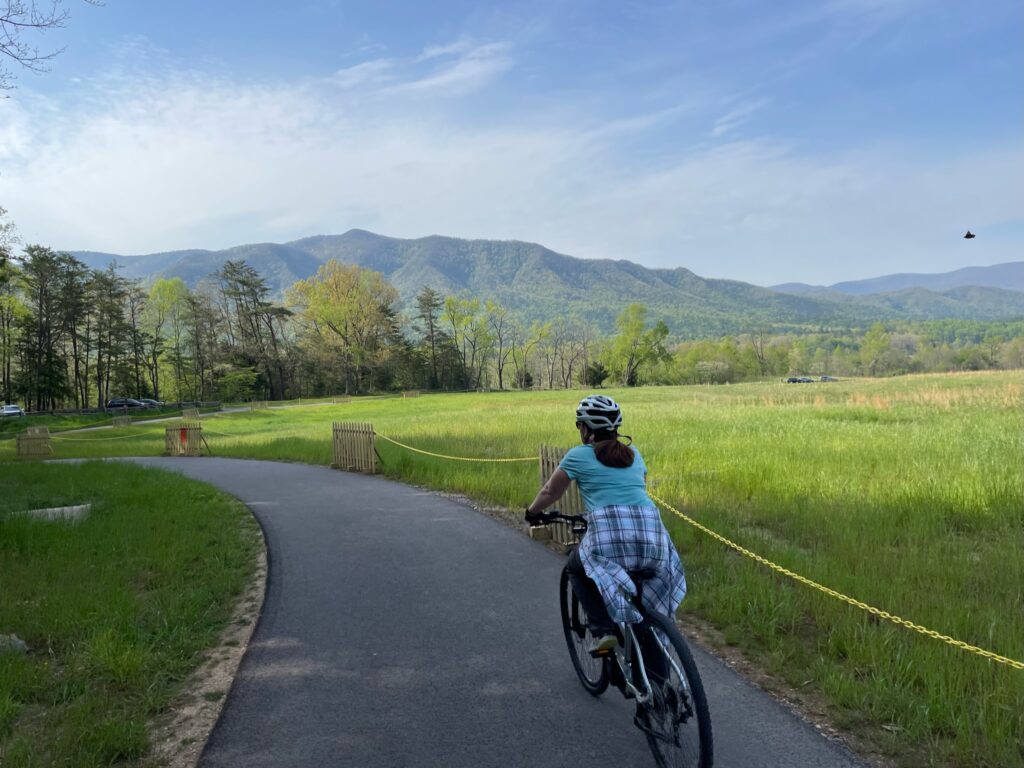
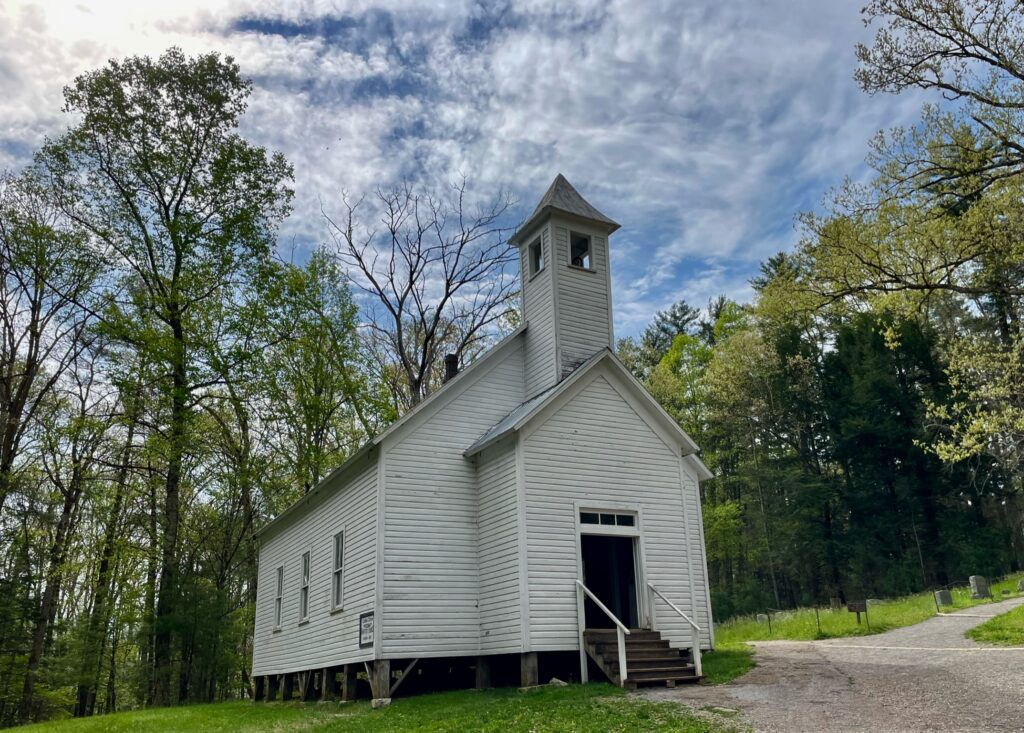
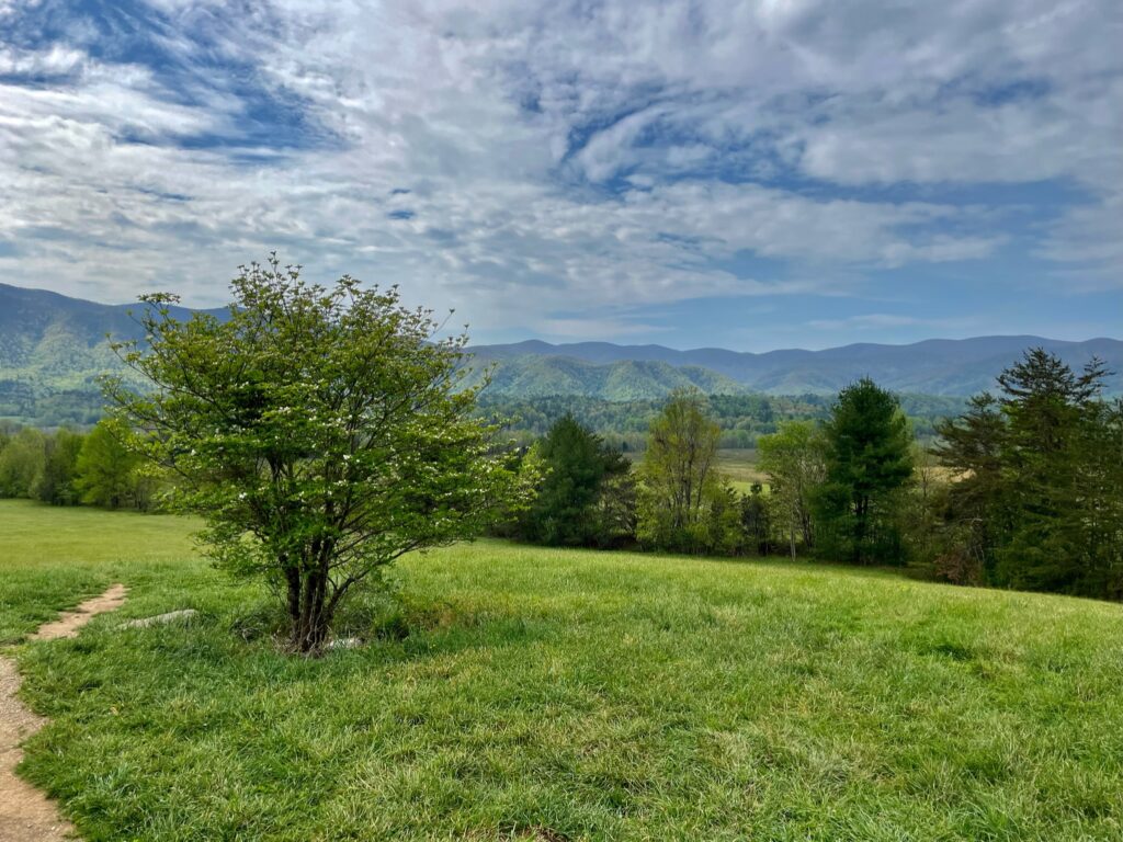
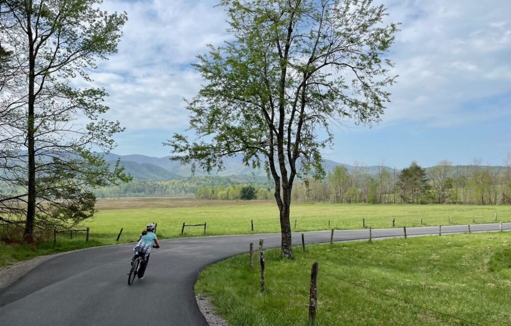
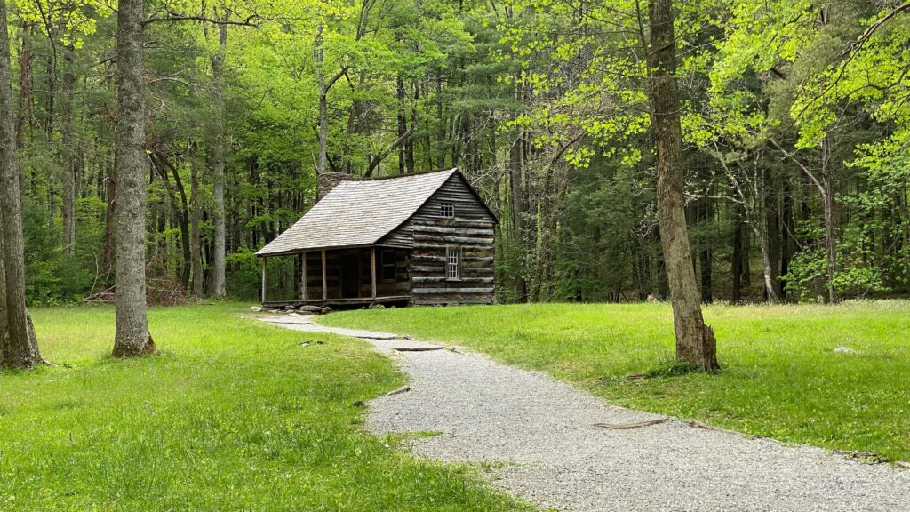
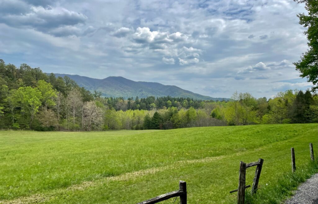
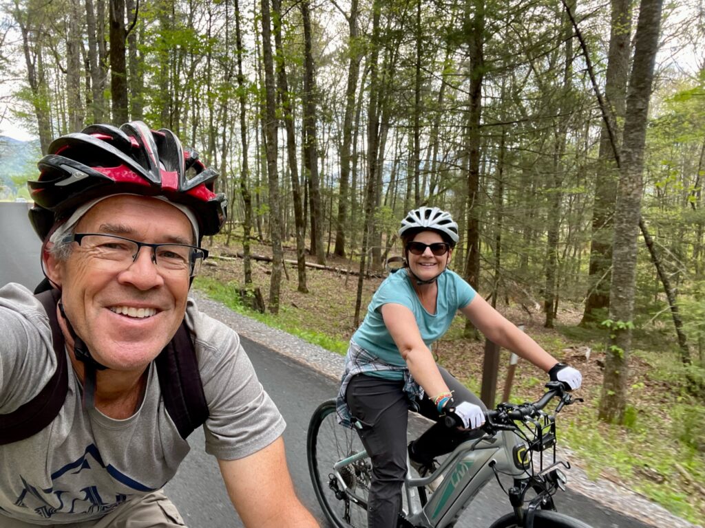
Cades Cove is a valley surrounded by mountains and the Cades Cove Loop is a one-way road that offers some of the best views of the area, its wildlife, and scenes from prior settlements, churches, an old mill, etc that were established in the area before the national park absorbed the land. On Wednesdays, during peak season, the road is closed to cars, making for a nice bike ride. If you’re not there on a Wednesday, don’t let the automobile traffic dissuade you from riding. We rode on a day that allowed cars. The speed limit is slow and because the road is one way, we never felt pressured by any of the traffic.
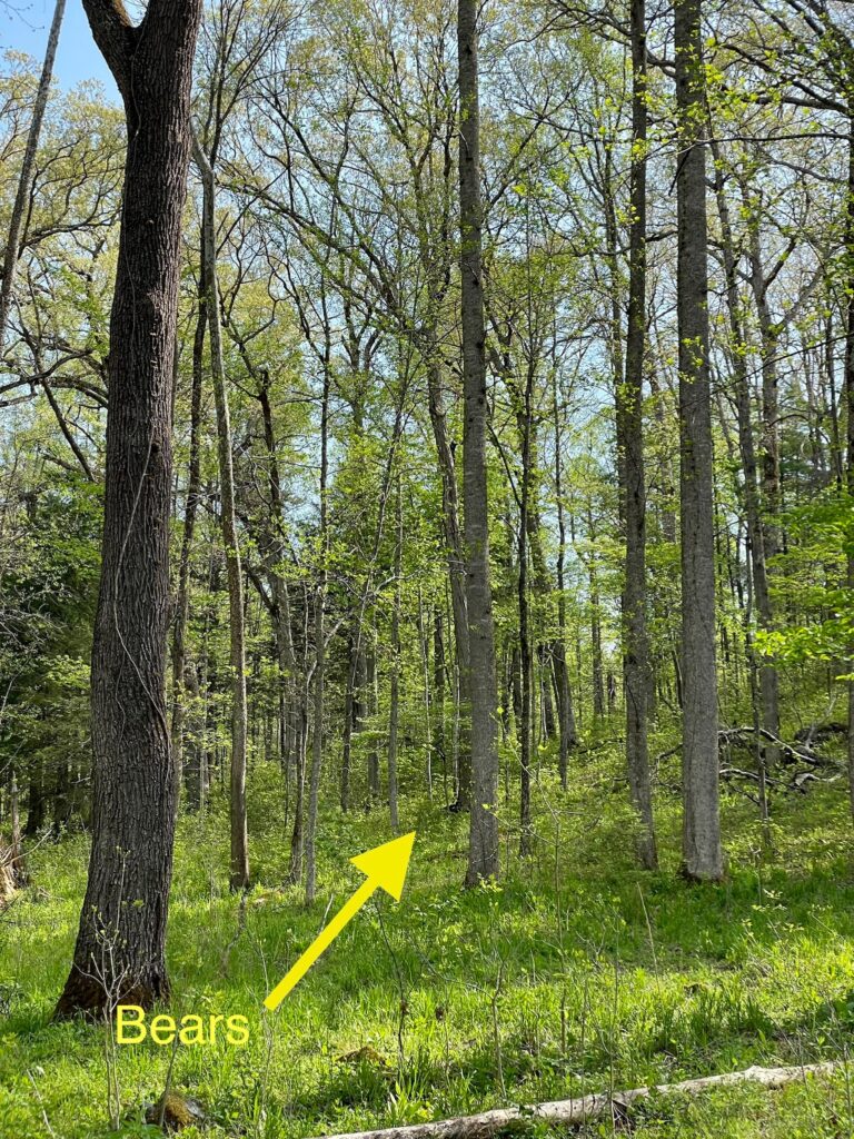
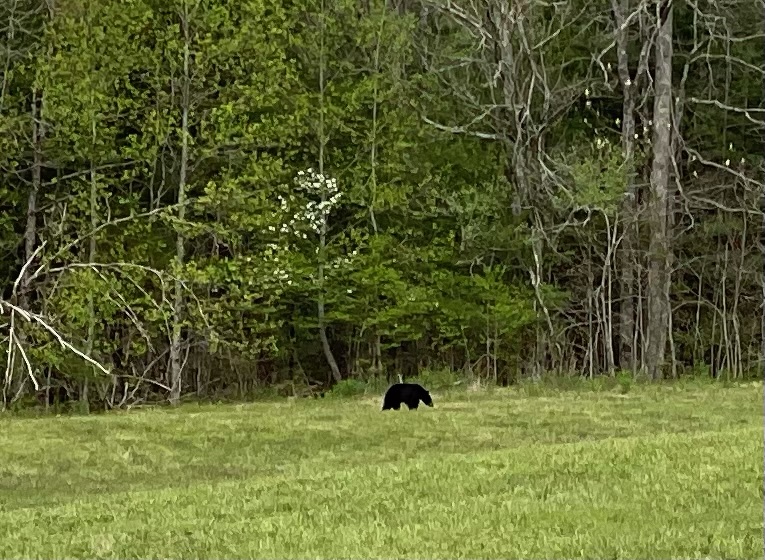
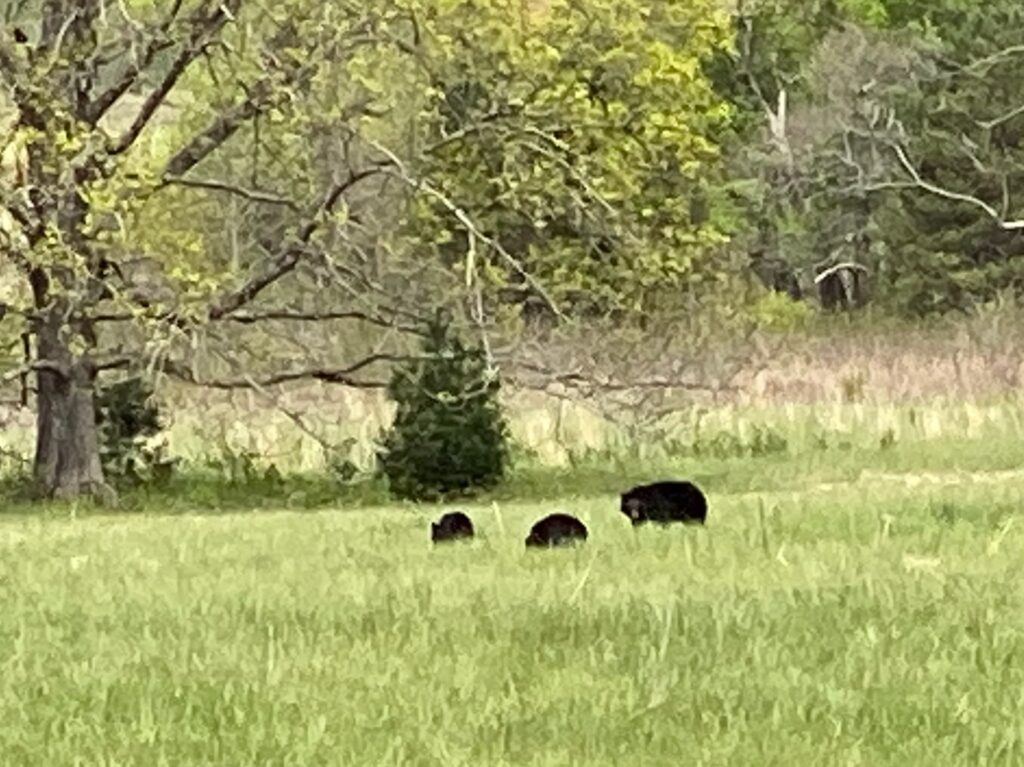
The biking was great and we saw about 7-10 bears, mostly cubs, in the distance that day which was really awesome!
Hiked to Laurel Falls
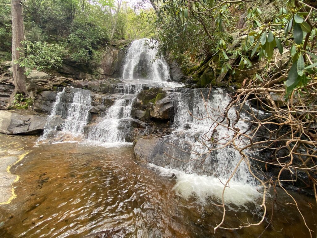
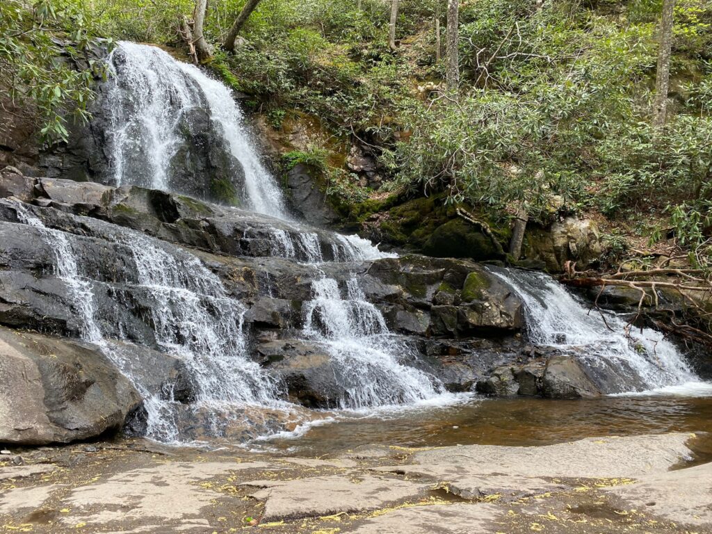
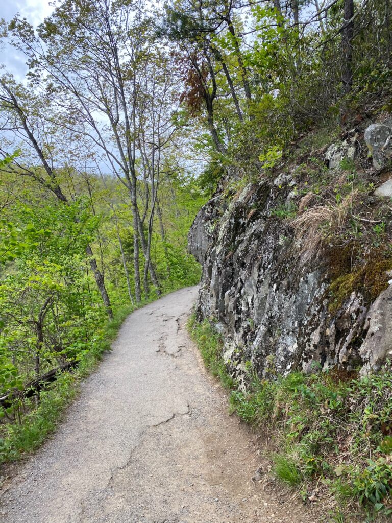
The popular Laurel Falls Trail winds its way up the mountain side about 2.5 miles before reaching the 80-foot-high waterfall – a nice pay-off for this moderately difficult hike.
Hiked Alum Cave Trail
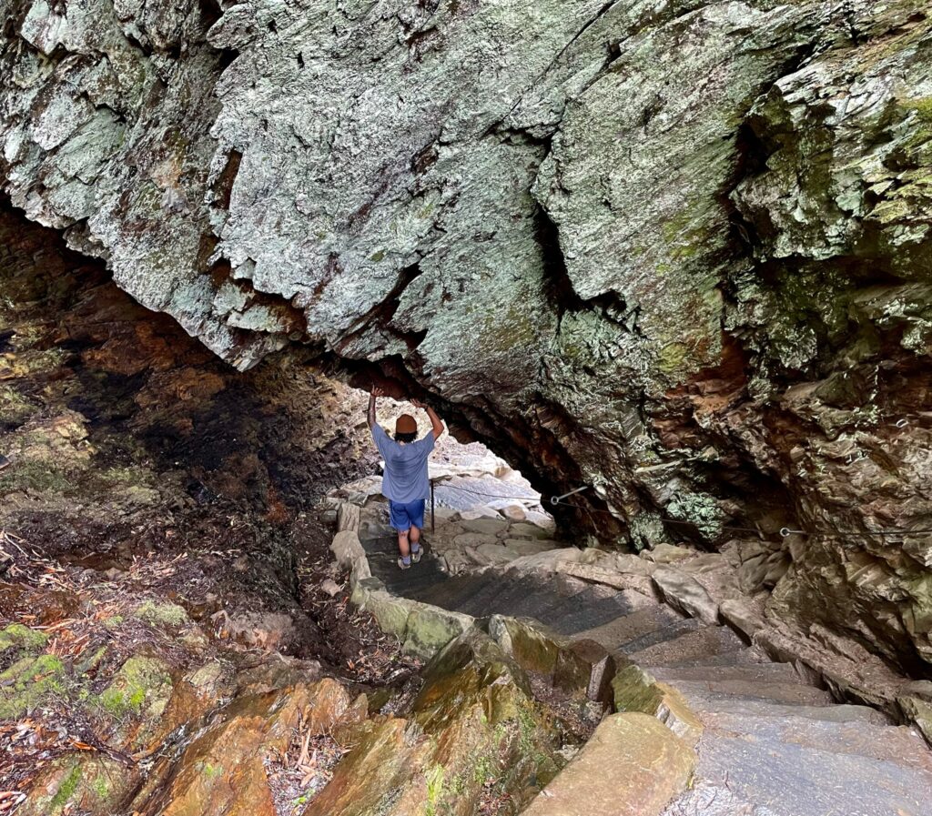
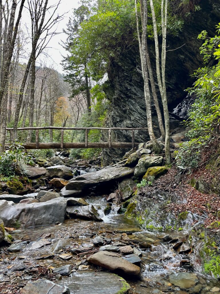
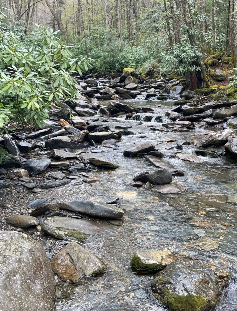
Another popular hike is the Alum Cave Trail. After crossing several log bridges and hiking through old growth hardwood forest Doug made it to the narrow tunnel of Arch Rock, which is just a portion of the longer trial. His 3-mile, round trip hike included 523ft of climbing up Peregrine Peak. This trail continues to some rock overhangs, called the Alum Cave Bluffs.
We managed to fit in quite a bit while sampling different areas within this park, but it still feels like we barely scratched the surface. Maybe we’ll get back someday.

