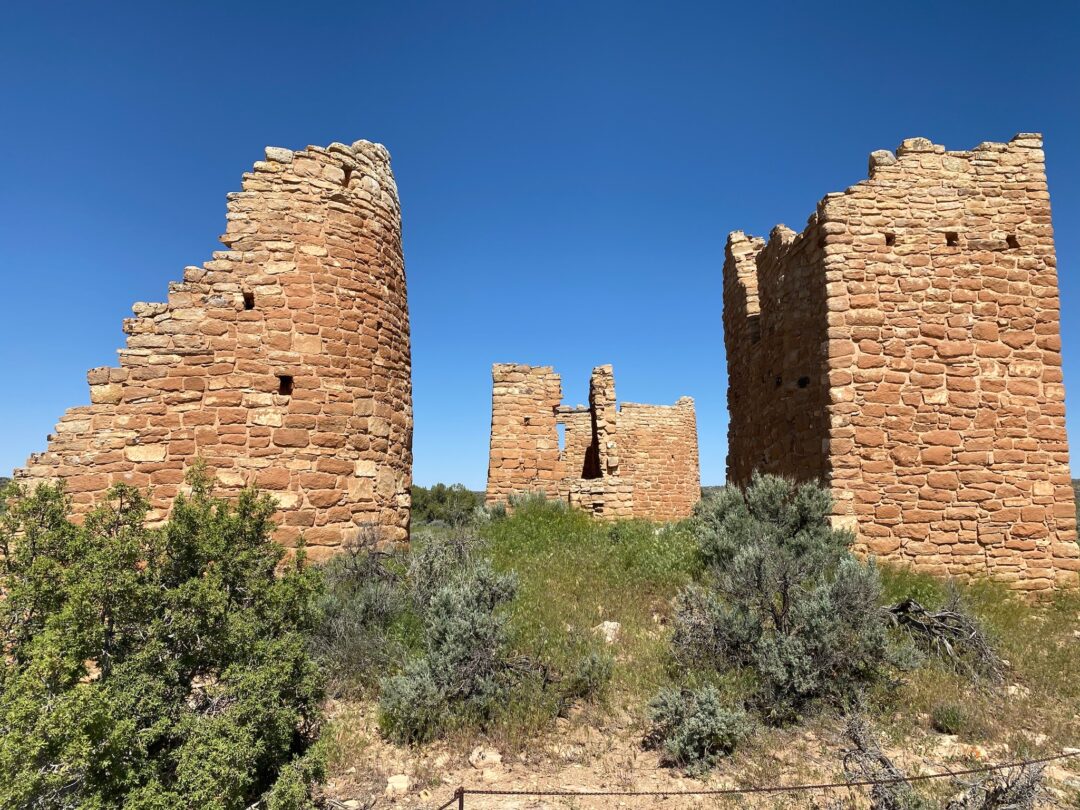
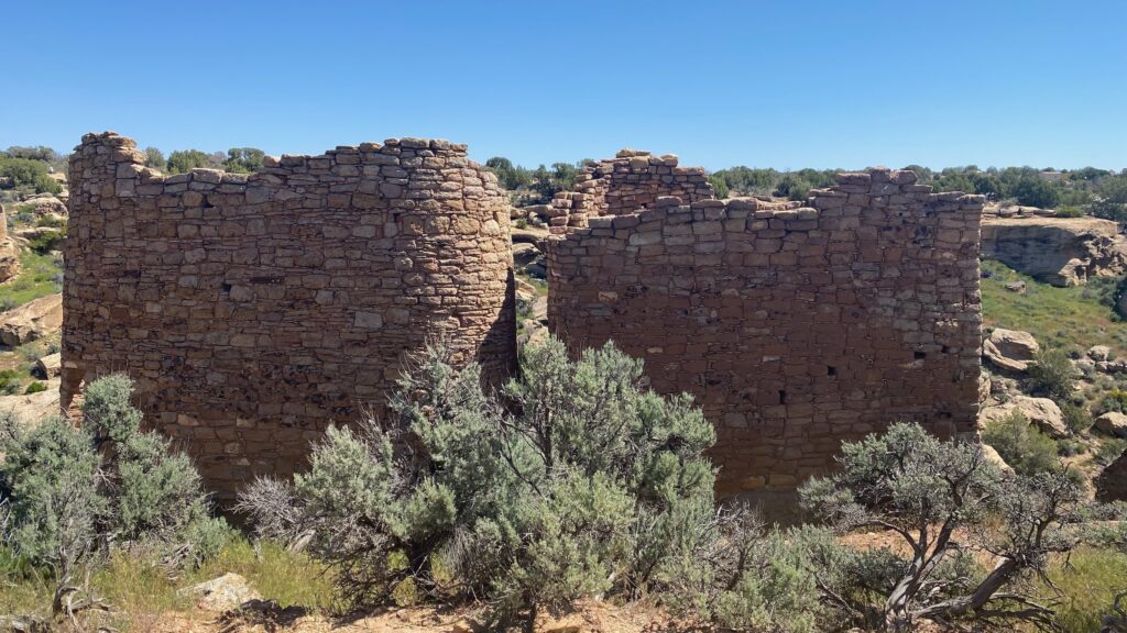
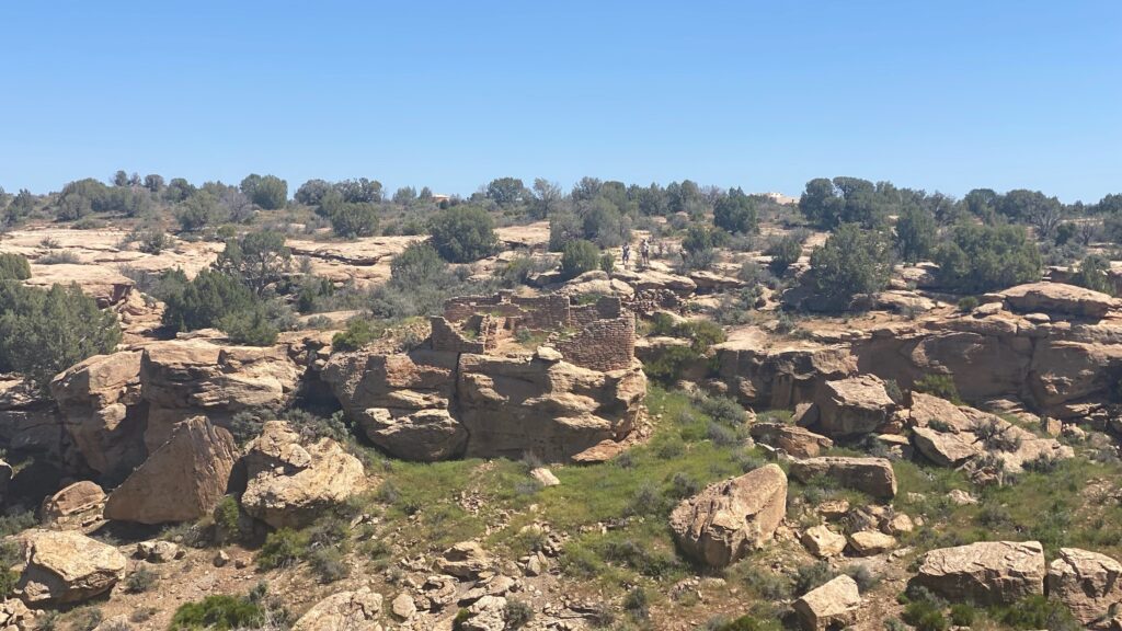
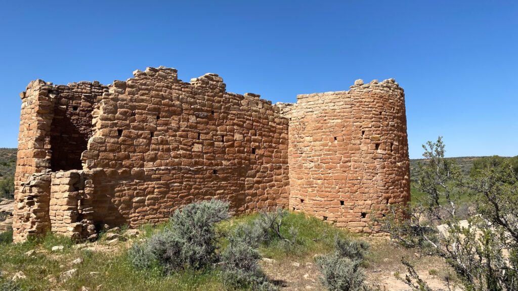
We’ve seen a lot of cliff dwellings and Puebloan ruins on our travels. What Hovenweep is known for is its detailed structures in a variety of shapes and sizes, including square and circular towers as well as D-shaped dwellings and kivas (circular ceremonial structures). Most of the structures at Hovenweep were built between A.D. 1200 and 1300.
Why its inhabitants departed remains a mystery, but some think it could be due to prolonged drought, resource depletion, and/or warfare. Today’s Pueblo, Zuni and Hopi people are descendants of this once thriving area of over 2,500 people.
The first historic reports of the abandoned structures at Hovenweep were made following a Mormon expedition into southeast Utah in 1854. The name “Hovenweep” is a Paiute/Ute word meaning “Deserted Valley” which was adopted by pioneer photographer William Henry Jackson 20 years later. Around 1918, surveyors from the Smithsonian Institution recommended the structures be protected, which happened under President Harding in 1923.
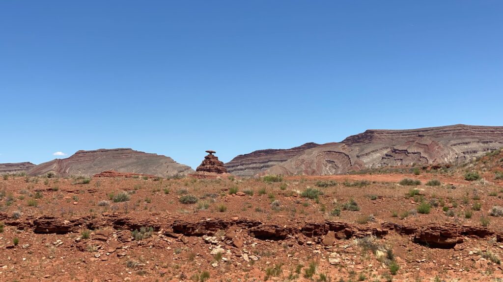
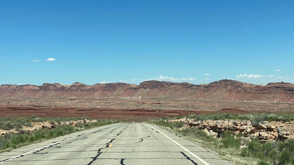
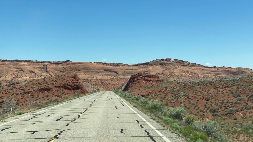
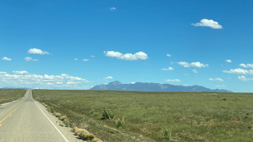
We drove from the Monument Valley Navajo Tribal Park (link to post here), through Mexican Hat and then strangely the southwest scenery drastically changed near Aneth, before more desolate landscape appeared at Hovenweep.
The best way to see this Hovenweep National Monument is by hiking the 1.5 mile cliffside rim trail loop that overlooks the canyon where these structures were built. When we were there in May there was very little shade. We did stay at the small campground on site.


These weren’t the best ruins we’ve seen and the location seemed awfully far from anything, but if you’re already in the Four Corners Area, they’re worth a stop.