Fearing a Japanese invasion of Alaska in 1942, the U.S. Army Corps of Engineers collaborated with Canadian officials to construct the Alaska Highway, a land route to connect Alaska to the lower 48 since sea routes were seen as vulnerable to attack.
This project was incredibly challenging due to the rugged terrain (dense forests, swamps, mountains, and canyons), harsh weather conditions, and the remote location. Remarkably the 1,700-mile highway was completed in just 8 months, a testament to the urgency of the war and the commitment of the workers!
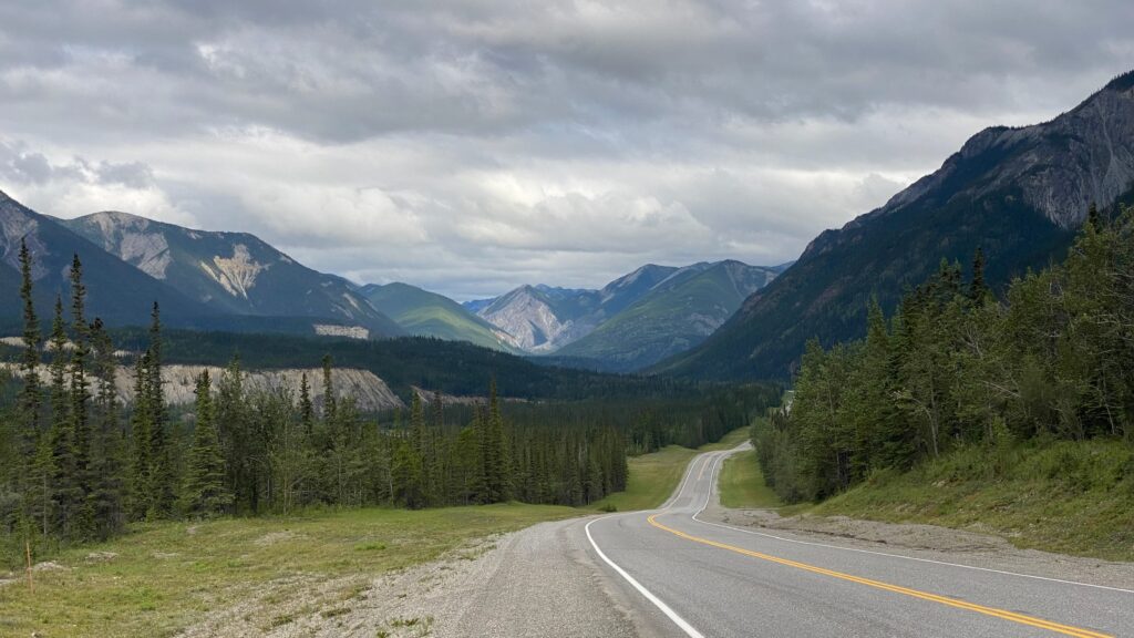
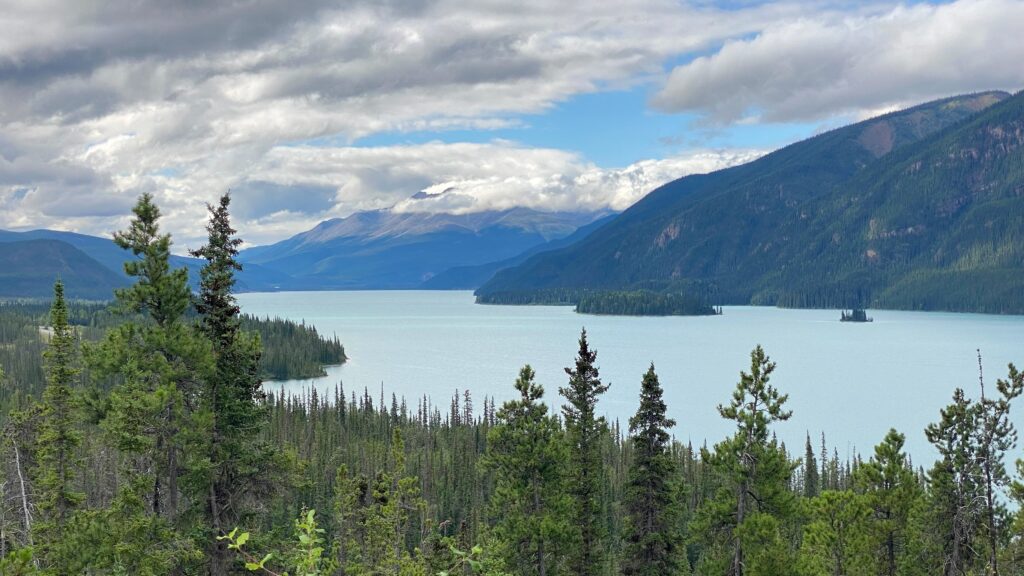
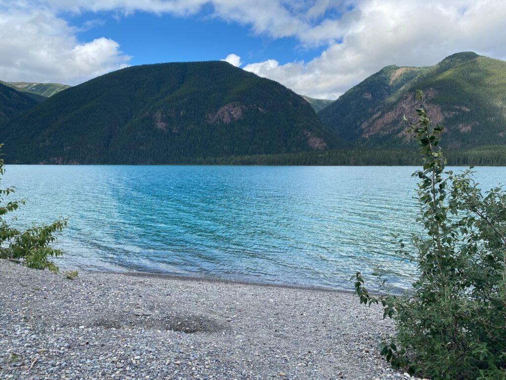
Today’s first stop along the Alaska Highway is a show-stopping, glacier-fed lake. Muncho Lake is nestled in the Northern Rocky Mountains and is known for its deep green and blue waters. Driving alongside the lake, it’ll change colors depending on the angle of view.
.
.
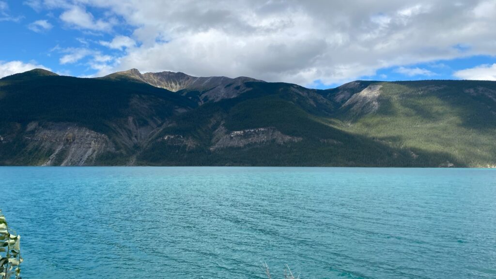
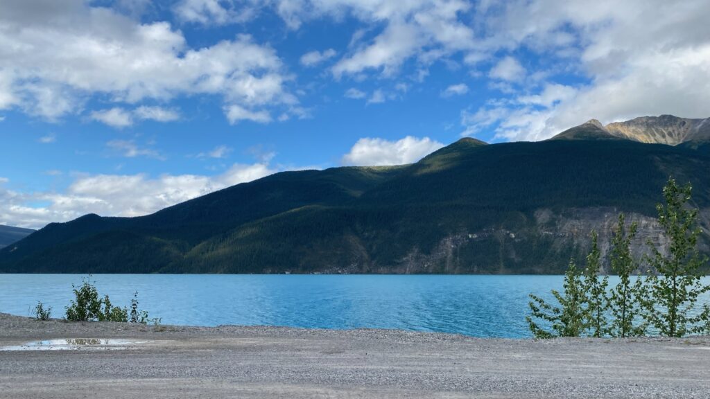
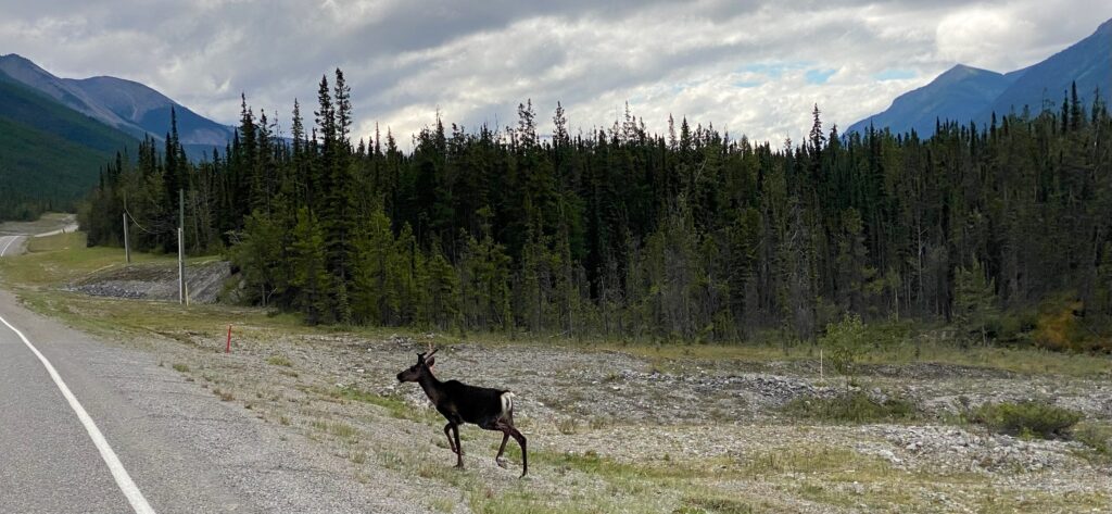
The next section of road through Toad River Canyon was one of the more difficult sections to build due to its steep canyon walls and remote location. Stone sheep live here and we were lucky enough to see a few.
.
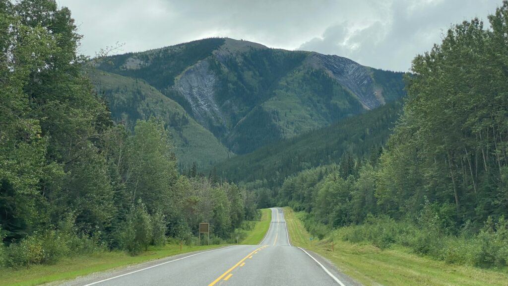
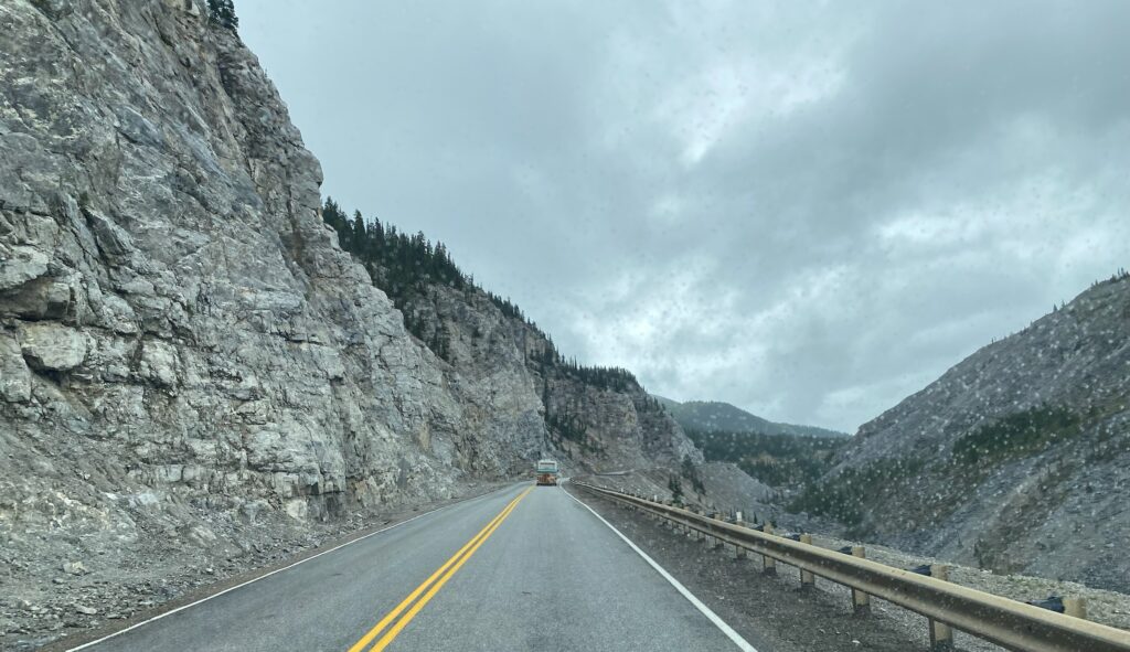
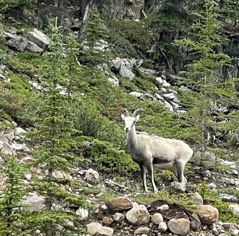
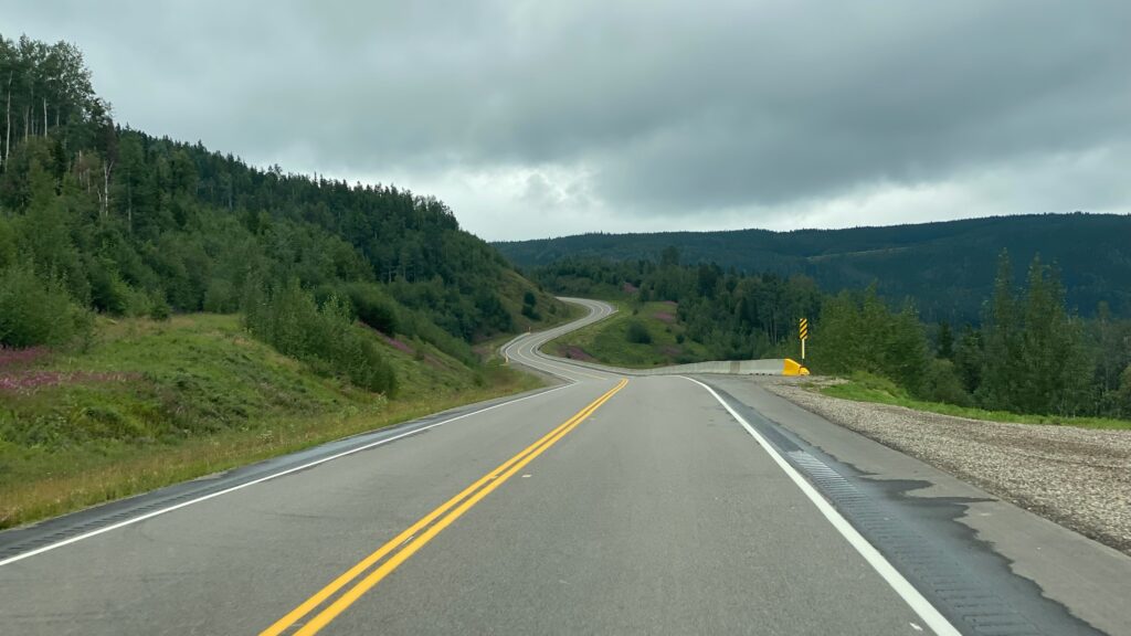
.
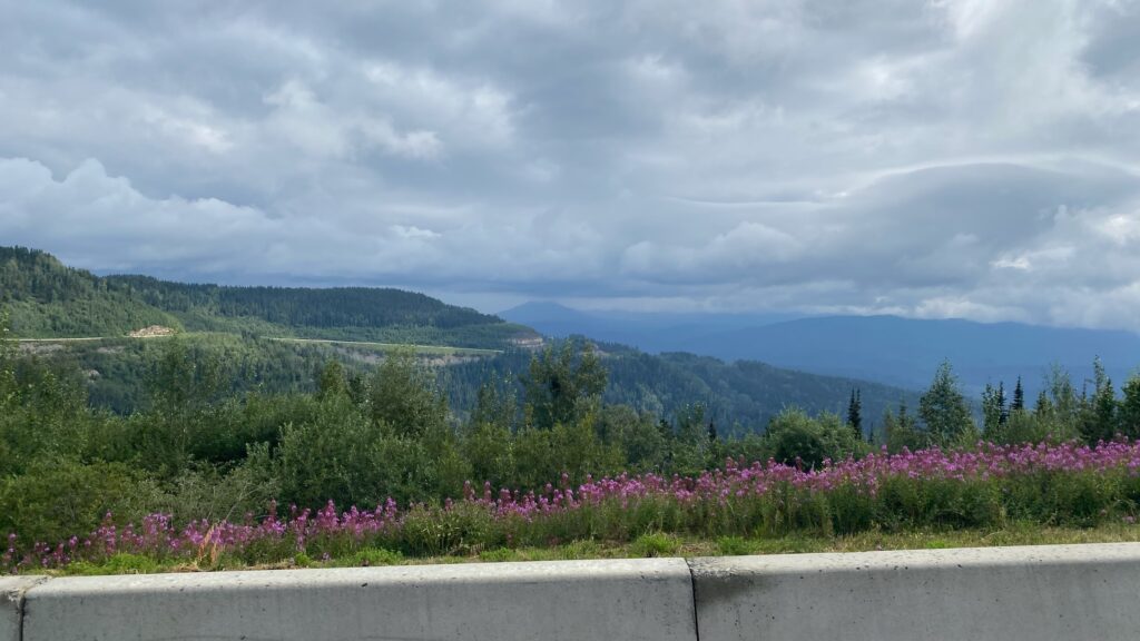
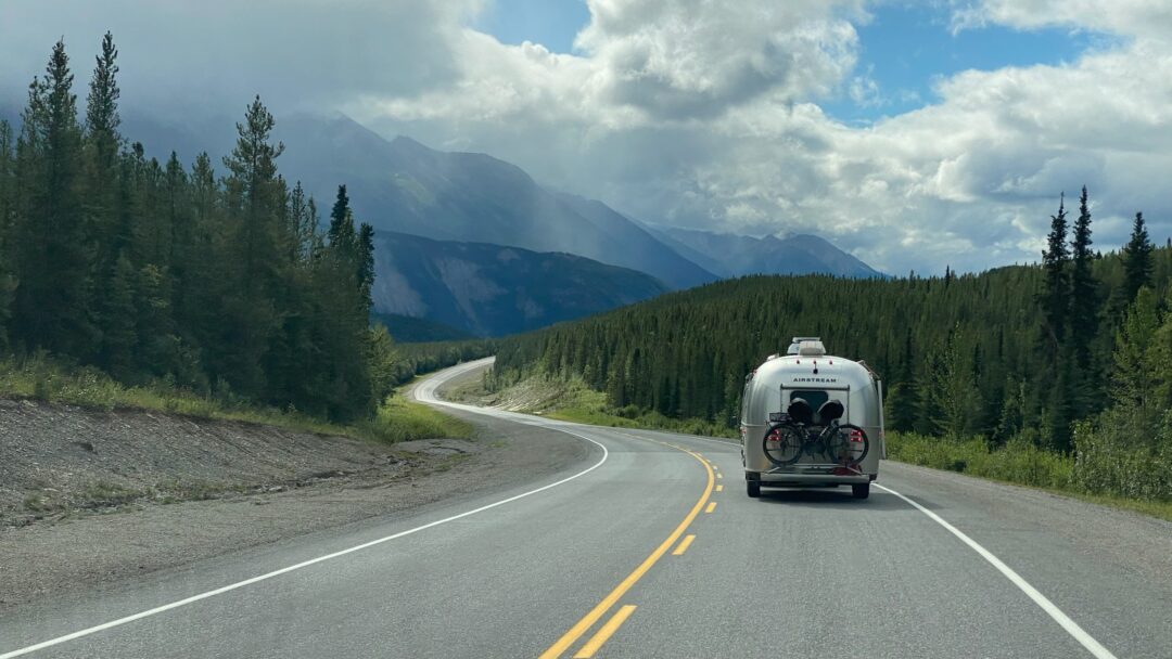
As we dropped down from the pass, the road stretched out like our dog limbering up before a good walk. Based on the thick trees standing guard on both sides, I imagine this section had it’s own construction challenges, but at least it wasn’t mountainside. I took far too many photos of the thick patches of fireweed that lined the road, but I’ll only bore you with a few.
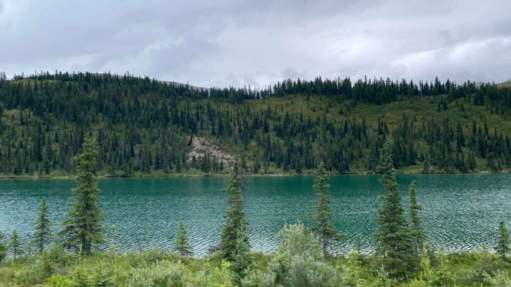
As has been typical this summer, we had an overcast day so I can only imagine the brilliance of these colors in sunlight!
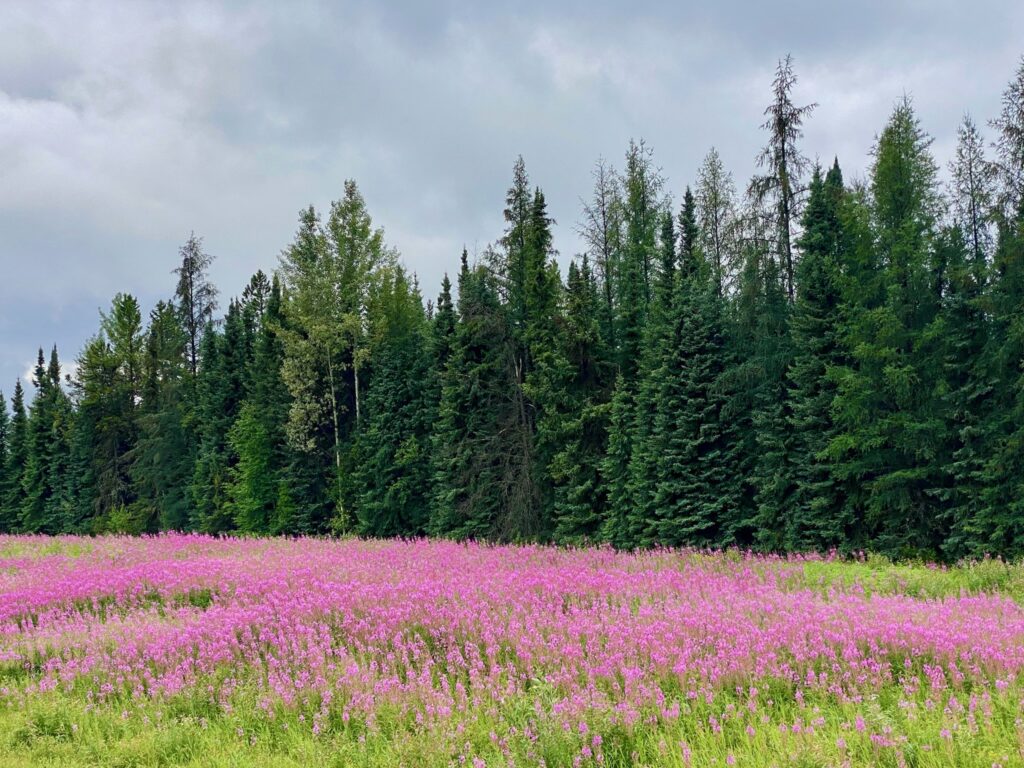
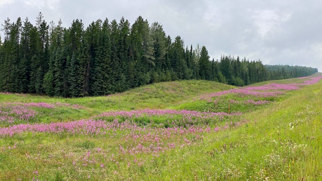
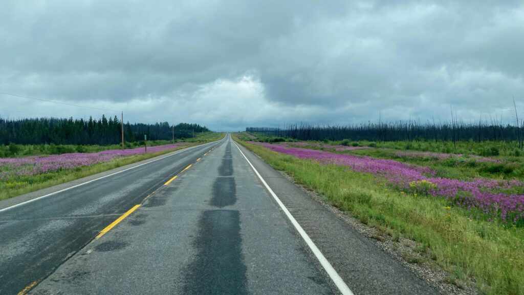
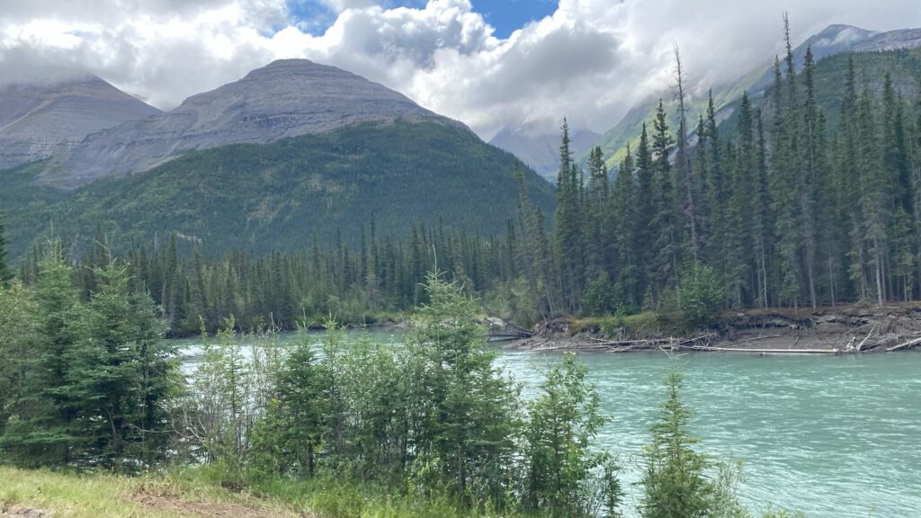
Our overnight stop for the night is a boondocking spot by Prophet River.
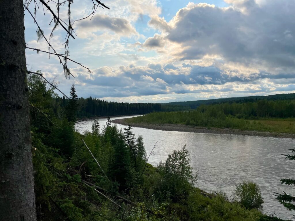
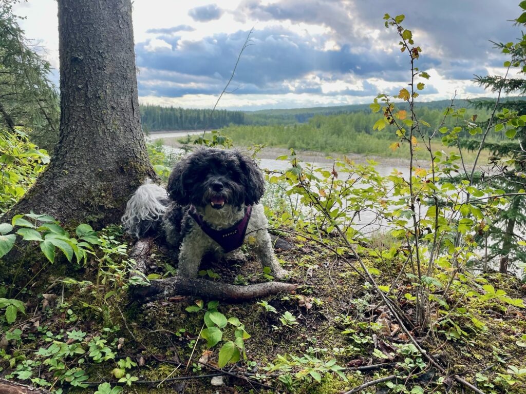
I often wonder if the engineers working tirelessly to complete these sections of the road realized at the time how incredibly beautiful this stretch of the drive would be for tourists like us?




 Did you know that the oldest and largest aviati


 #camphairdontcar


