I’m a huge U2 fan so I couldn’t resist the title of this blog.
U2’s fifth album titled “Joshua Tree” is frequently listed among the greatest albums off all time and is one of the world’s best selling albums with over 25 million copies sold. If you’re of a certain age (ahem) you’ll know some singles released from that album such as “Where the Streets Have No Name”, “I Still Haven’t Found What I’m Looking For”, and “With or Without You”, which is maybe your senior prom theme…just sayin’.
Here’s some basic information about the national park:
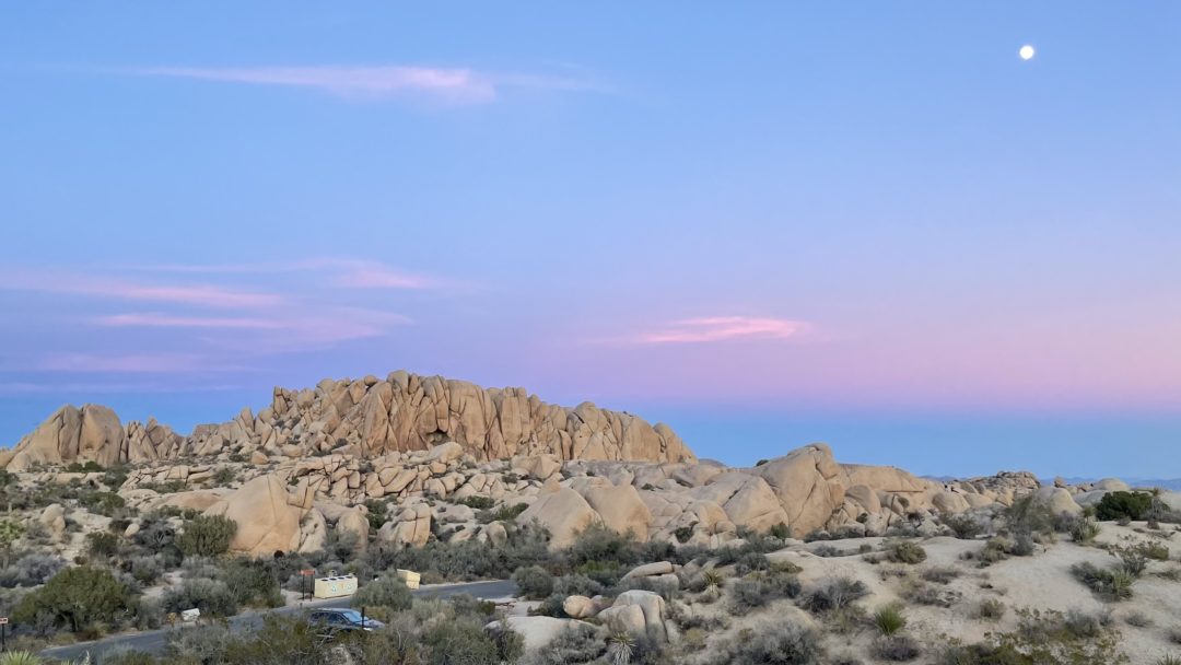
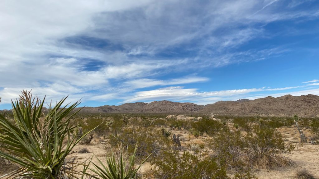
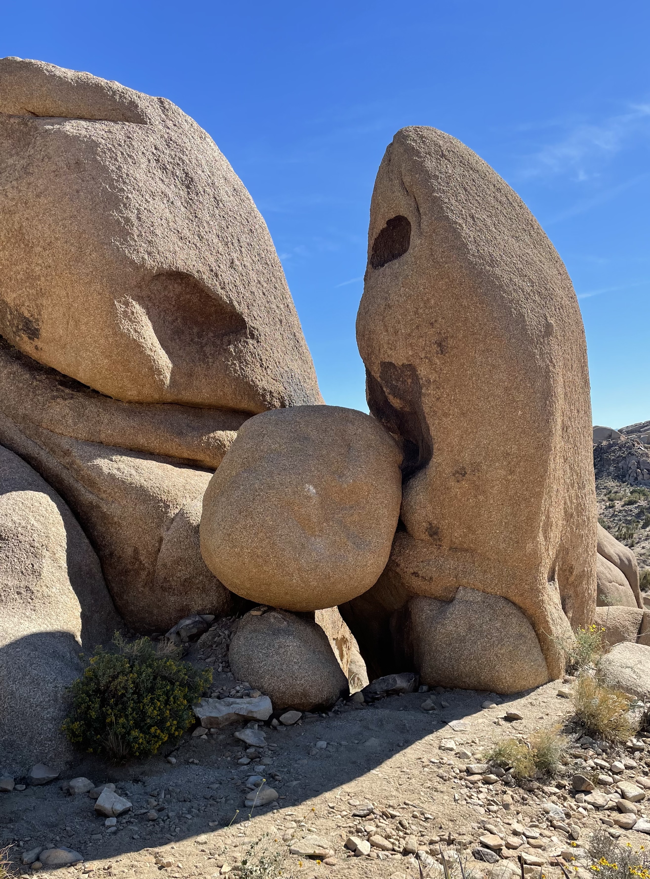
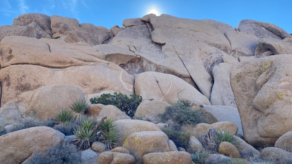
- Joshua Tree National Park is visited by over 3 million people per year. It could be its proximity to southern California or the fact that it’s a playground for climbers with about 8,000 established routes on hundreds of granite rocks, but I think its because it has unusual landscape.
- The park is an intersection of the Mojave and Sonoran Deserts so the animals can range from big horn sheep to jackrabbits and rattlesnakes.
- Because this is a high (elevation between 2,000 and 4,000 foot) desert, the best time to visit is in cooler months like fall and winter so that the days are cooler but be warned this elevation also means the nights can be cooler than expected as well.
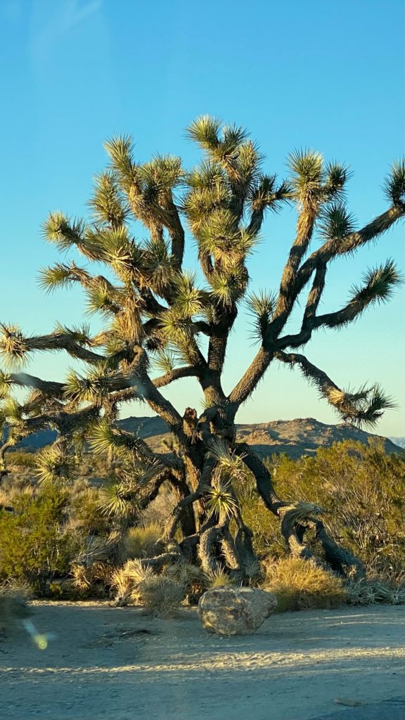
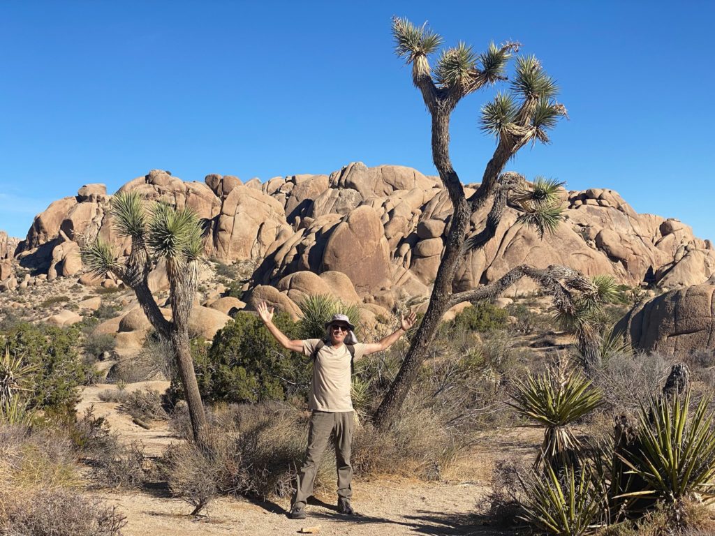
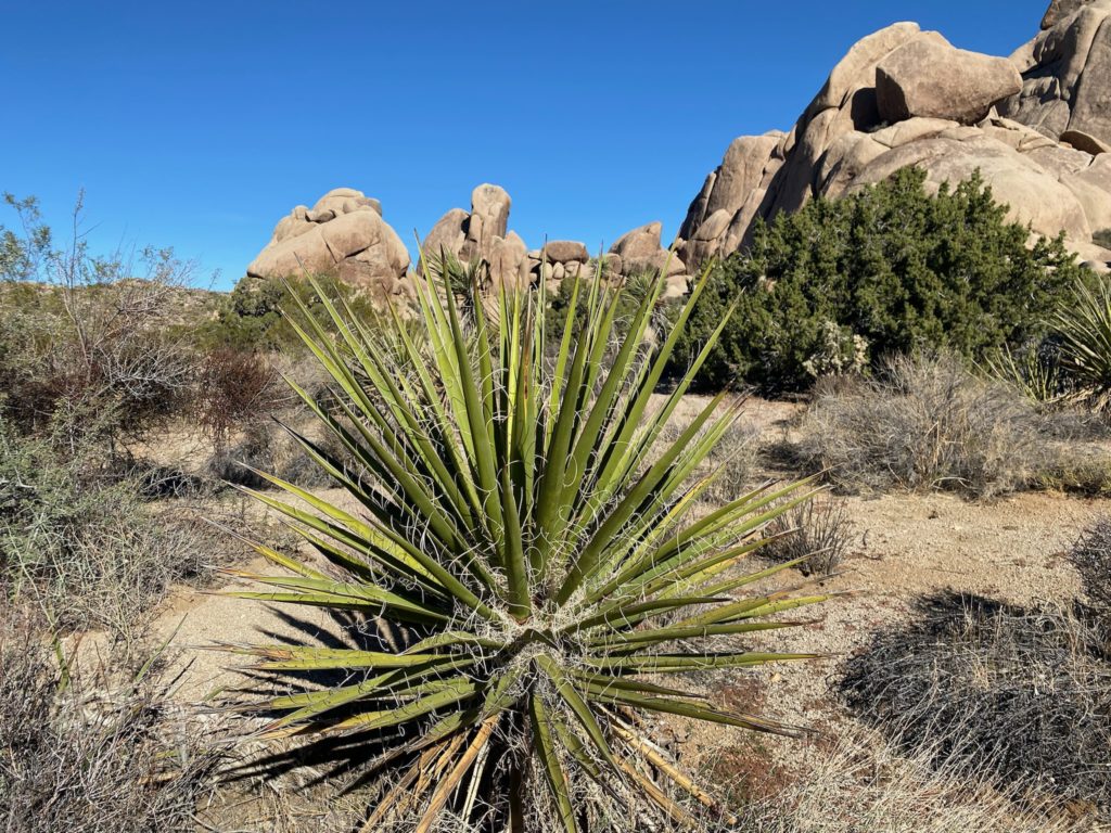
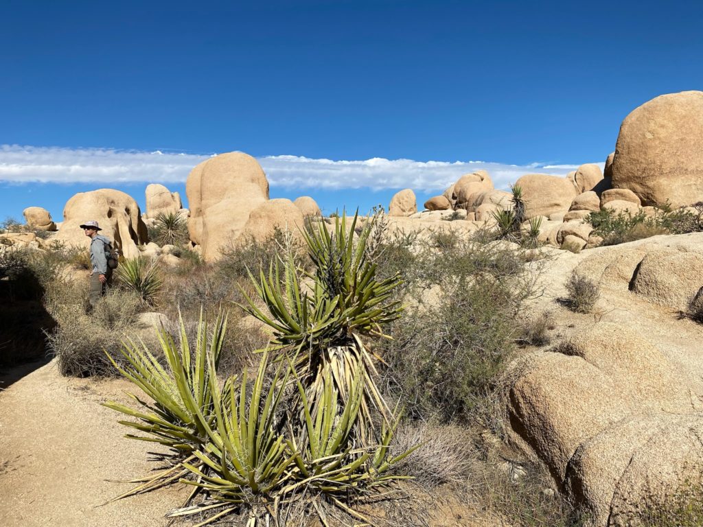
- The park is named after the Joshua tree which grows primarily in the Mohave Desert but can sometimes be found in the Sonoran Desert.
- FUN FACT: The Joshua tree isn’t really a tree. It’s actually a type of yucca plant.
- The park is 1,235 square miles, the second largest National Park in California after Death Valley, but most visitors only see about 15% of it. The other 85% remains pretty wild, given the few trails that go that far into the park and the harsh landscape and climate.
DRIVE IT
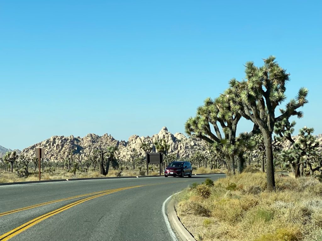
If you only have time to drive through, you’ll still get a lot out of the park. There are quick pull-outs with short scenic walks and if nothing else you’ll get to experience the park’s namesake – the Joshua tree. The largest yucca species has spikey tufts at the end of each limb that defy all traditional notions of a tree by twisting and curling in every direction like the fictional flora created by Dr. Suess and, unlike typical trees, it would be difficult to say you’ll drive through a forest of them. Instead, the “trees”, and for that matter the large boulders in the park, dot the dessert landscape creating wonderful silhouettes.
Sadly, researchers say that if greenhouse gas emission rates do not change, by the end of the century, this unique tree could be erased entirely.
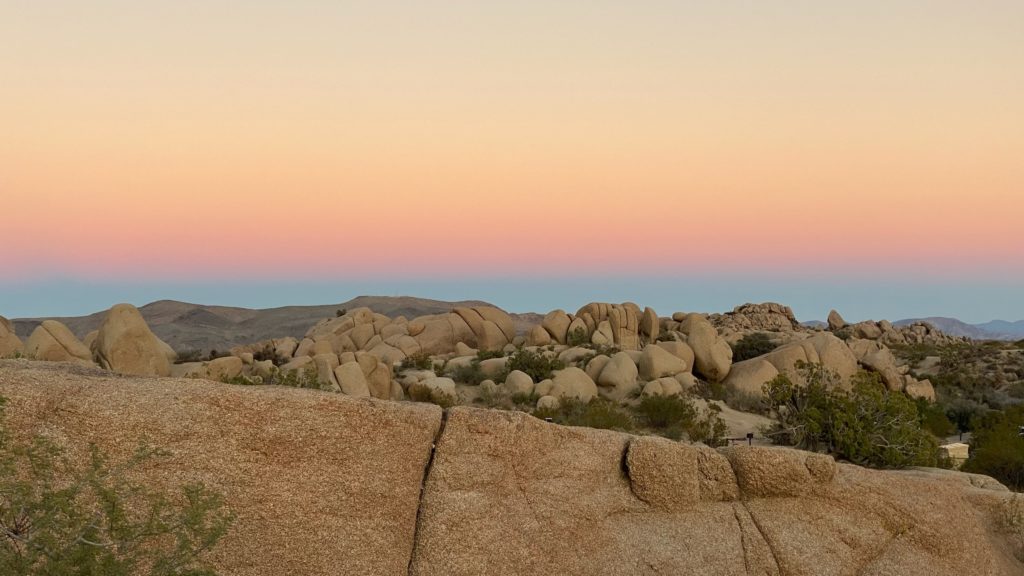
Keys View is an area in the park accessible to all and popular, particularly for sunsets and its views across the whole Coachella Valley.
CAMP IT
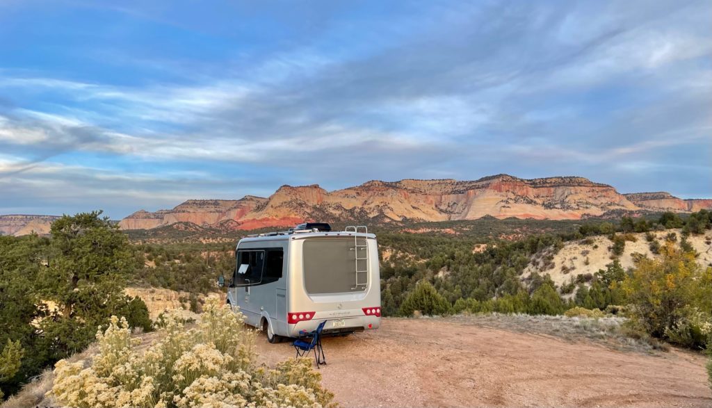
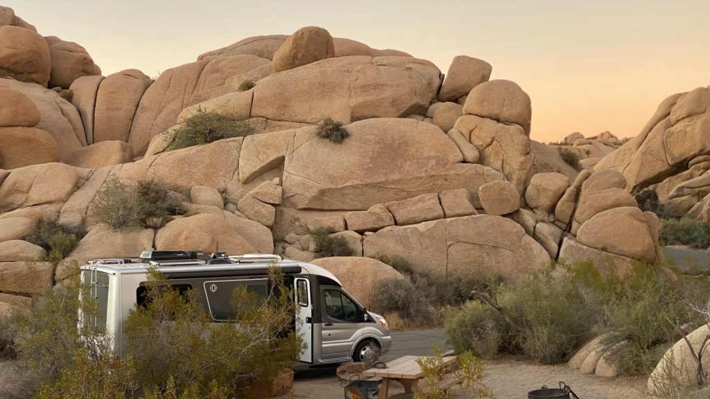
We’ve stayed in two of the six or so campgrounds in Joshua Tree – Jumbo Rocks Campground and Cottonwood Campground. We also stayed in a great boondocking location just outside of the south entrance when we hadn’t planned far enough ahead to make the required reservations in this is very popular park.
HIKE IT
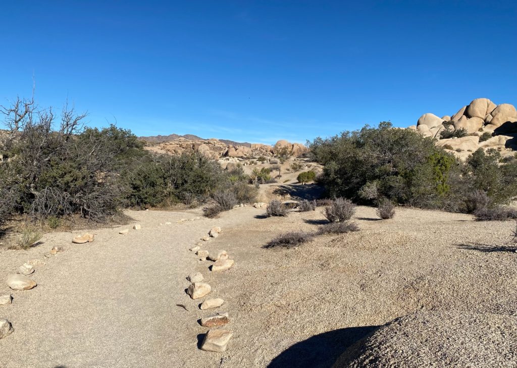
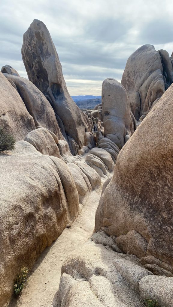
Although this is one of the busier national parks with difficult to reserve campgrounds and limited trailhead parking, visiting on weekdays and arriving early for parking can pay off. Due to these limitations, once on the trail, the hikes are not overly crowded and very enjoyable.
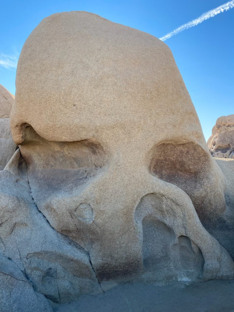
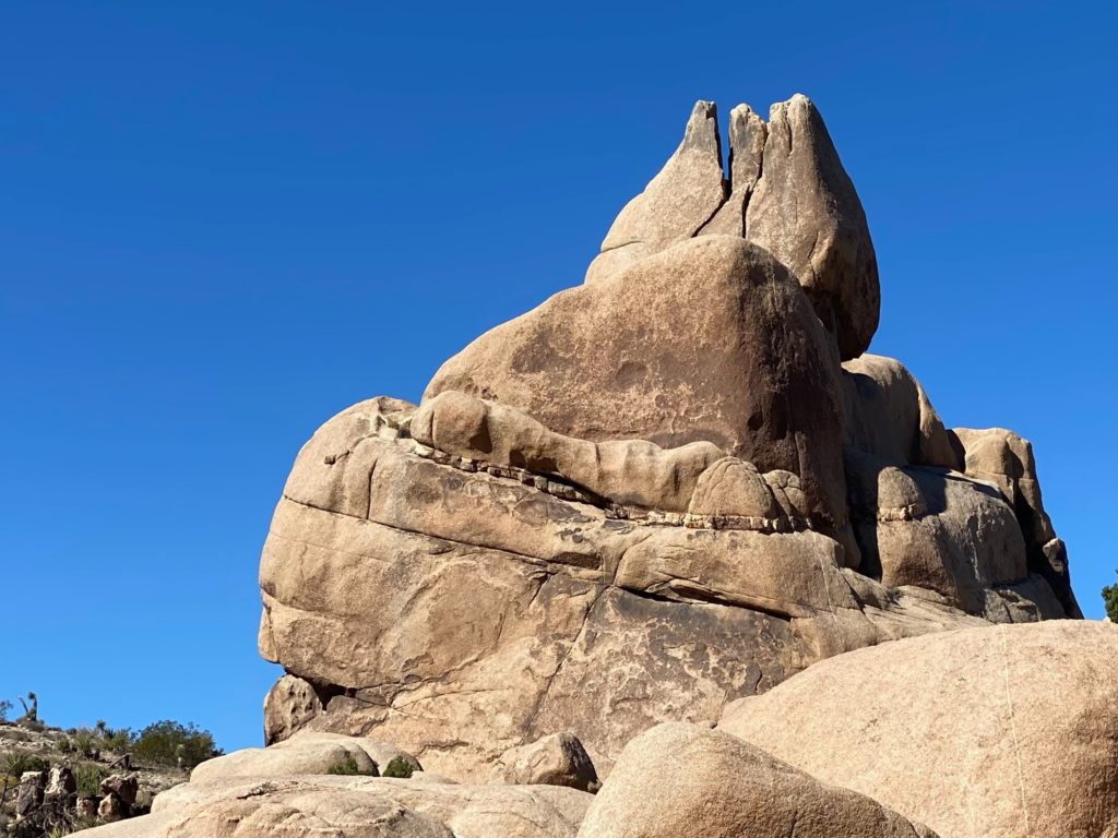
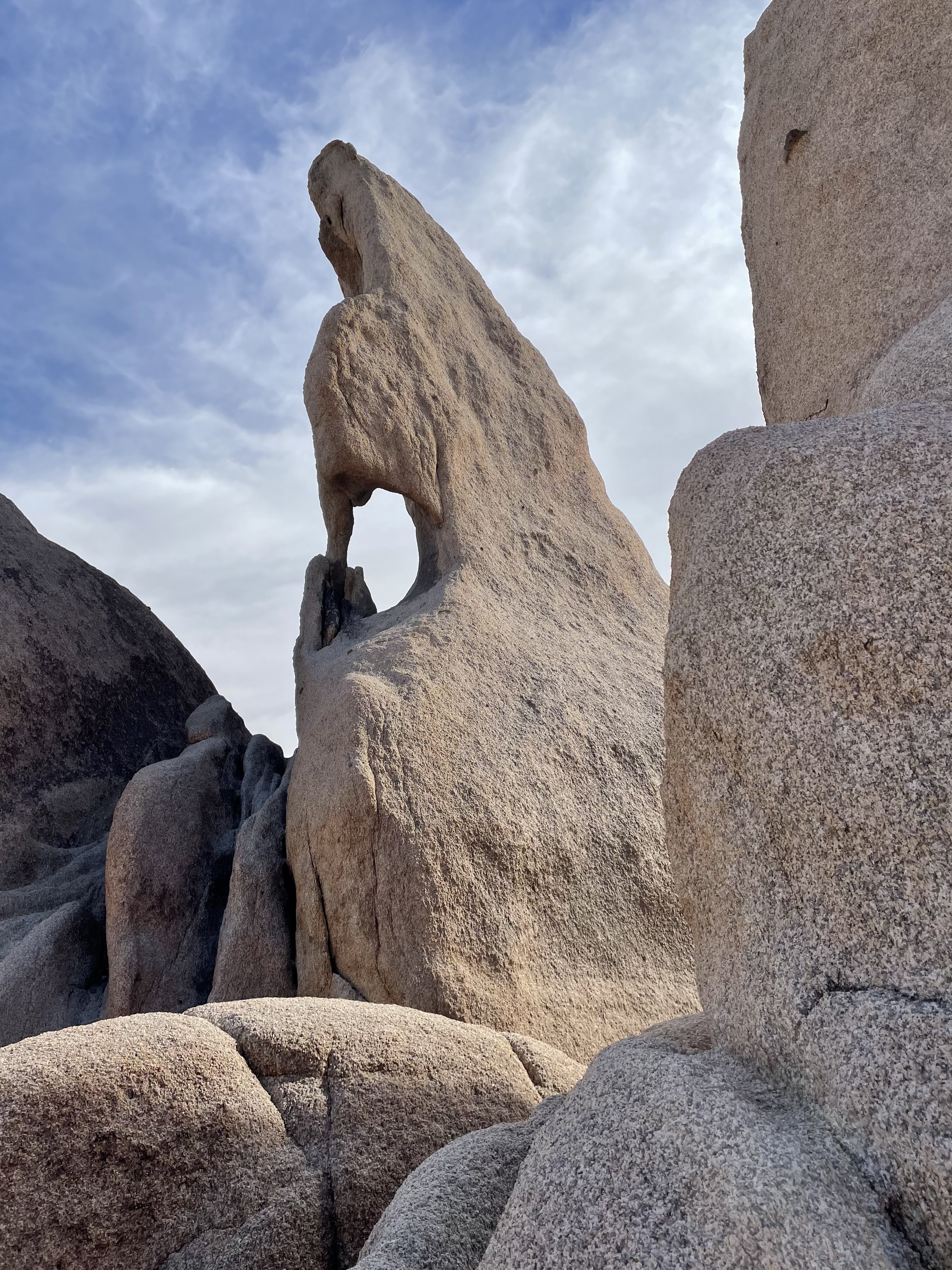
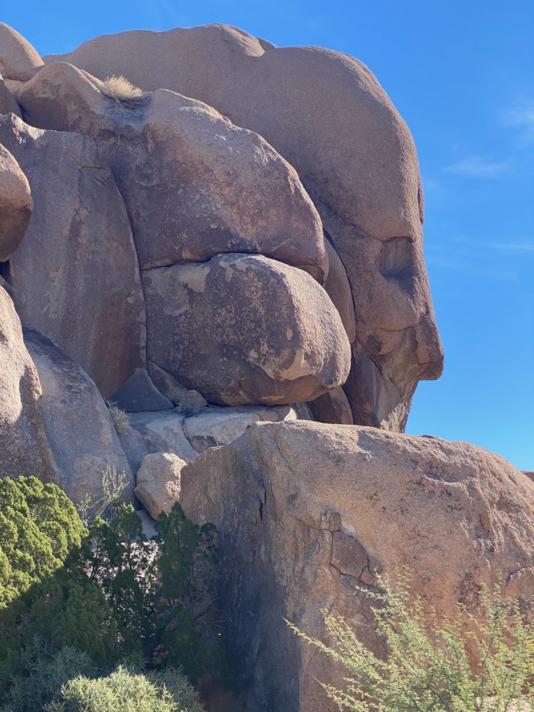
Skull Rock, Split Rock, and Face Rock.
Skull Rock is right off the side of the main road and a very popular stop due to the eponymous erosion of this rock so it’s good to arrive early for this short walk.
Across the street from Skull Rock are several trails. Taking the Split Rock Trail will wind through the desert, Split Rock in the distance and near Face Rock if you make the 5 mile loop hike.
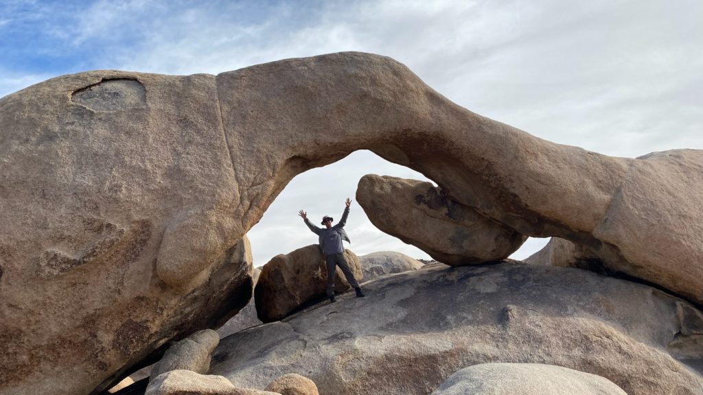
Arch Rock.
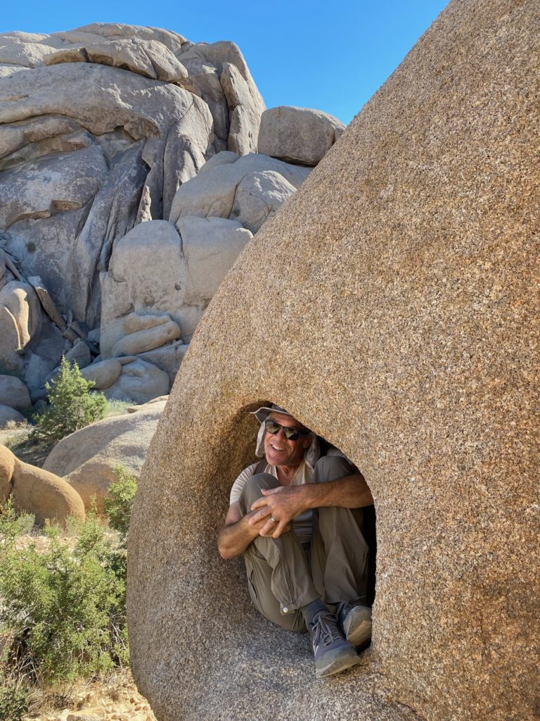
Located near the White Tank Campground on Pinto Basin Road. There’s a parking lot near the trailhead but RV spaces are limited. The trail is well marked and flat as it crosses the road toward the rock outcroppings. Once you get to the rock formations there isn’t really one way to get to Arch Rock and some rock scrambling is needed. Its easy to walk 1-2 miles in the area (not to reach the Arch Rock) but just to meander among and around the structures.
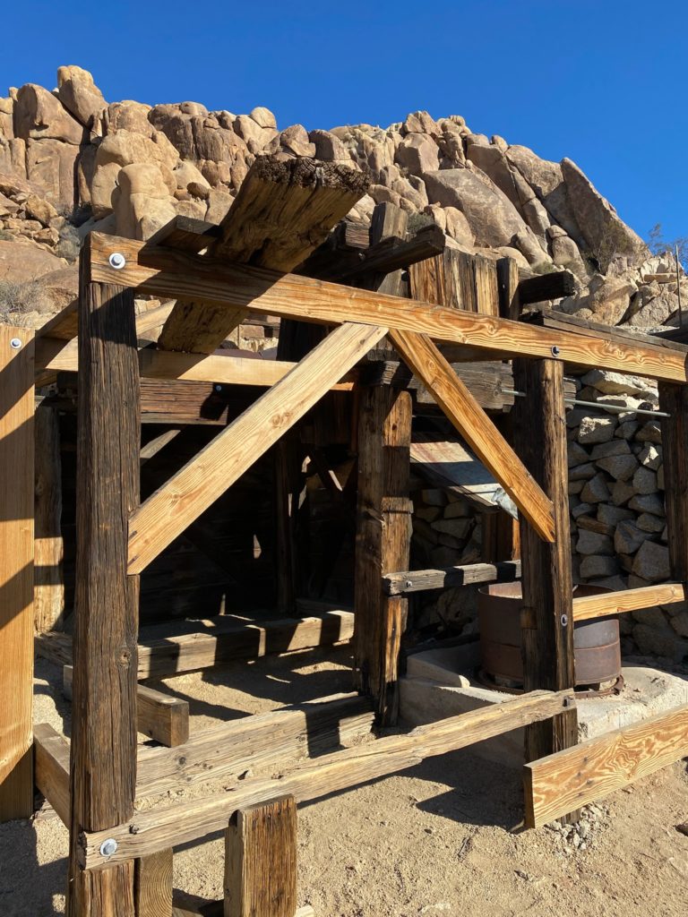
Mastadon Mine Trail.
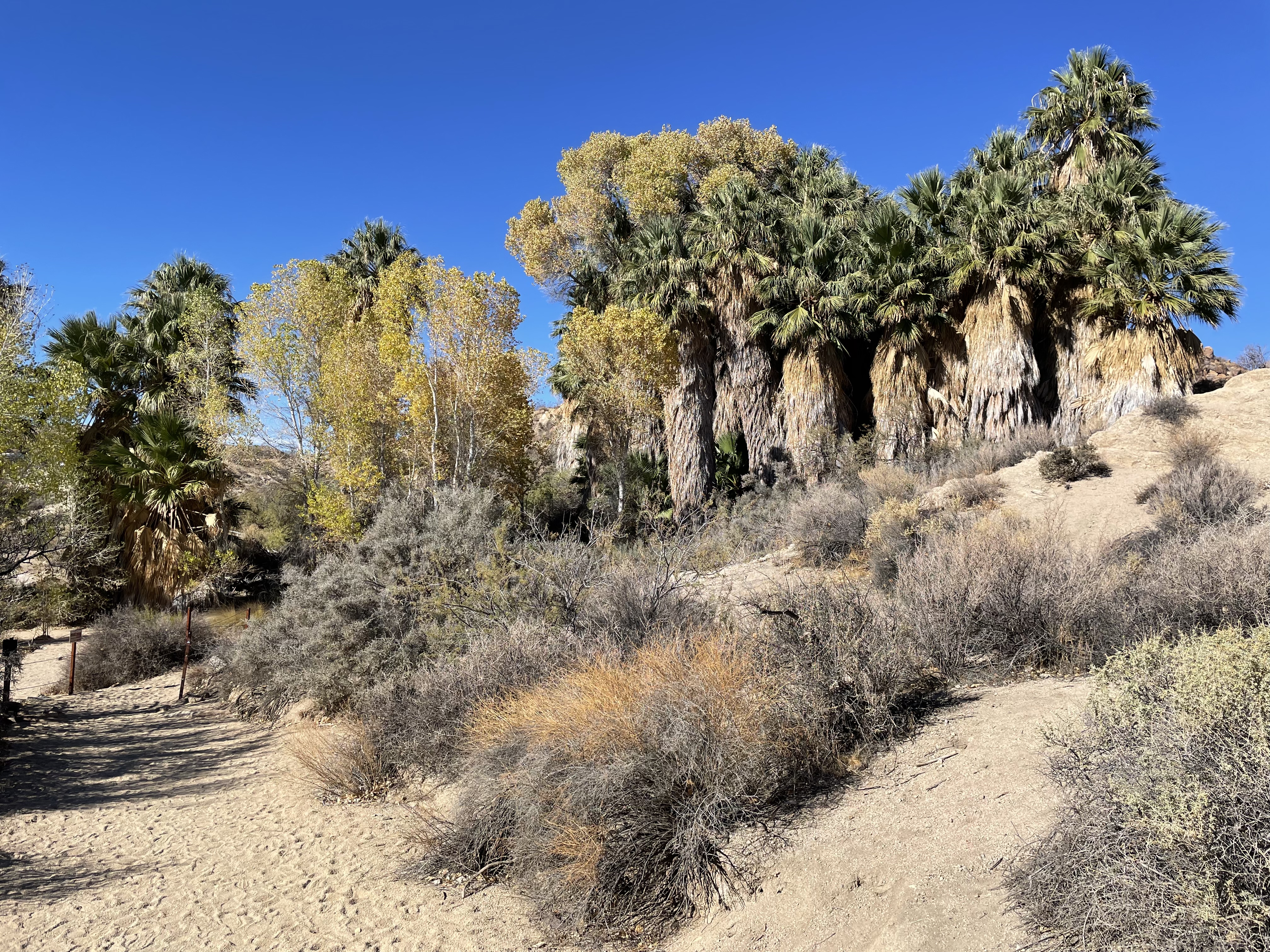
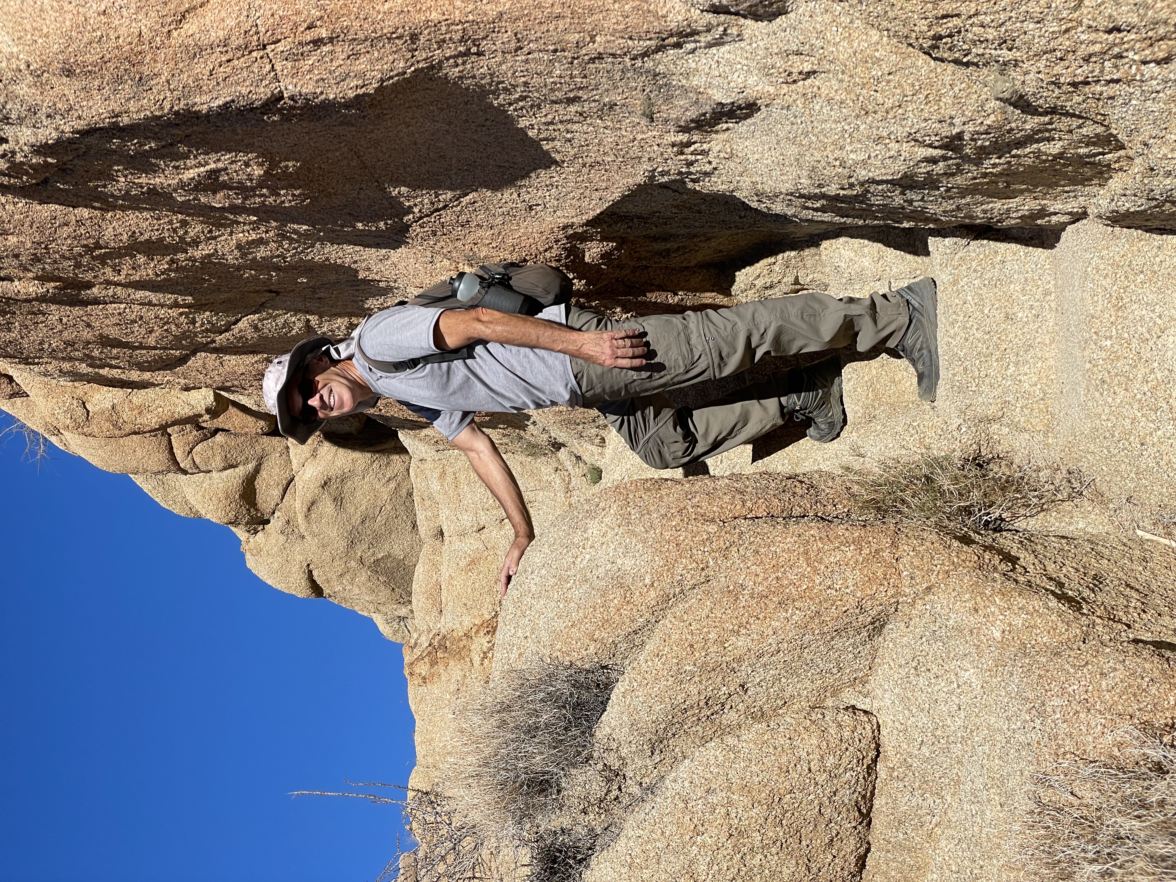
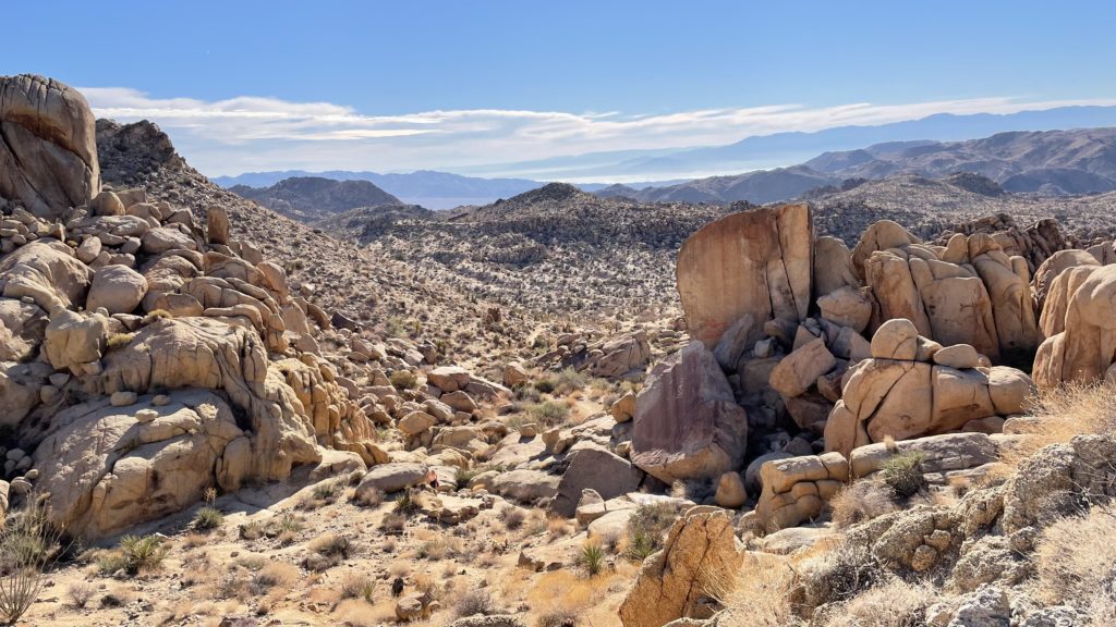
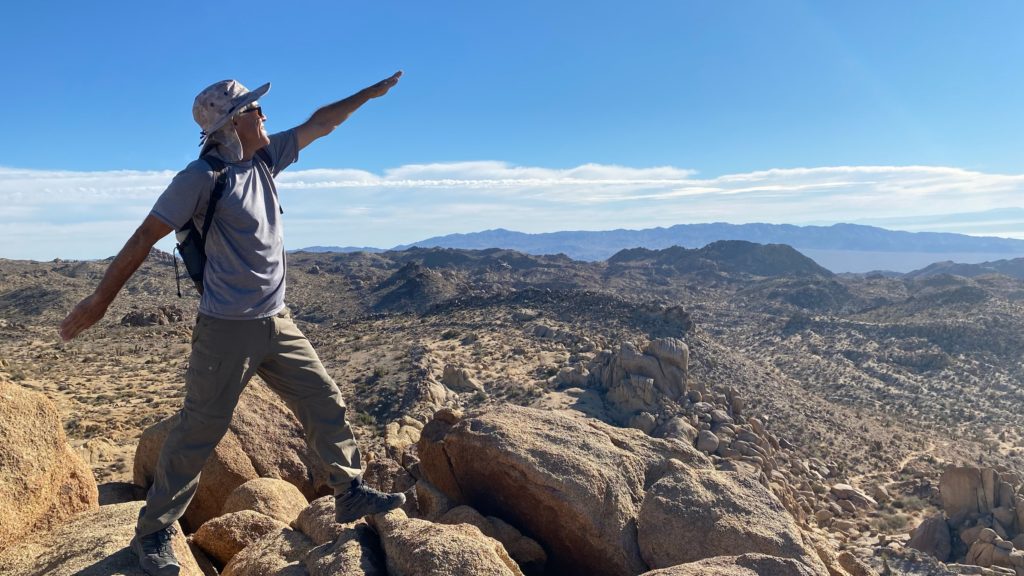
The 2.5 mile Mastadon Mine Trailhead is near the Cottonwood Campground. The trail dips down towards a palm oasis before it turns to gradually climb through the desert. The rock “stairs” off to the left climb to a pretty lookout at the top of Mastadon Peak. As it reaches the peak the trail becomes less clear with some bouldering needed but the 360 degree views at the top are worth it! The back side of the trail dives down towards the remains of the old Mastadon Mine. On the return descent the trail bumps up and down small hills and follows a rocky, dry riverbed as it winds back to the parking lot..
With a little planning, you can have a lot of fun visiting this one-of-a-kind national park.