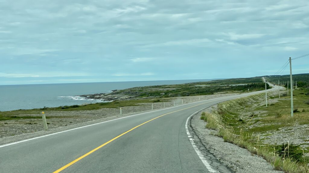
We left our scenic camp spot alongside Bonne Bay to drive north, following highway 430 that skirts Newfoundland’s western coast. This scenic drive is known as the Viking Trail.
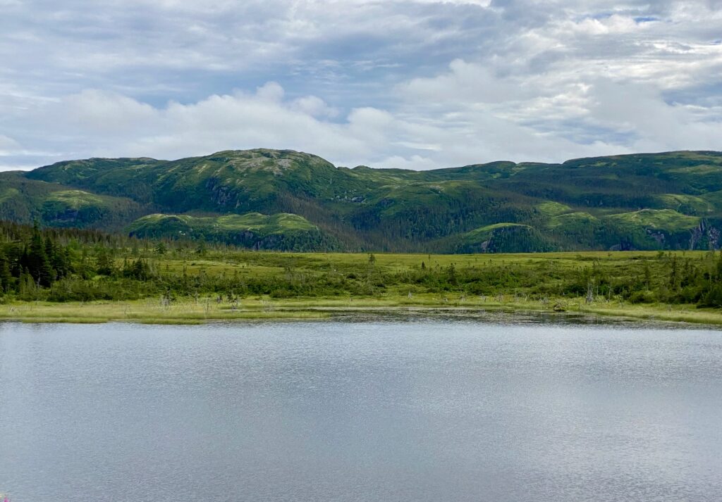
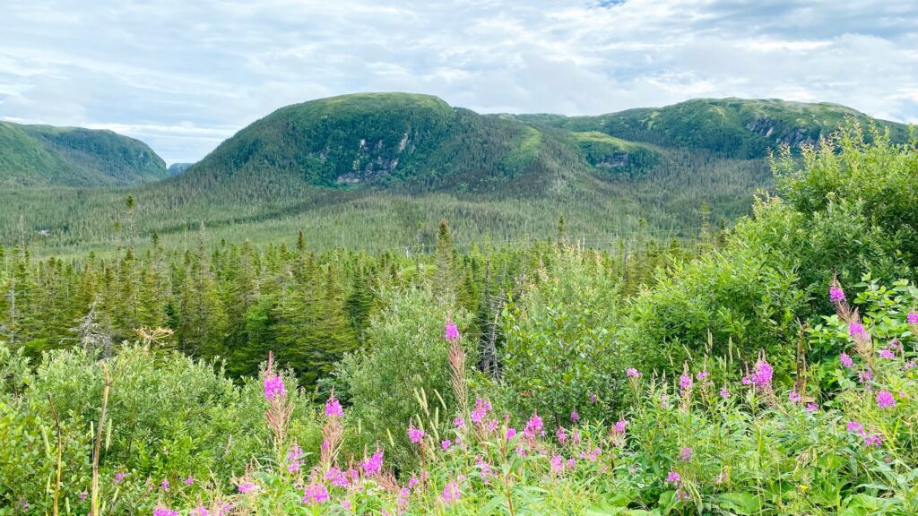
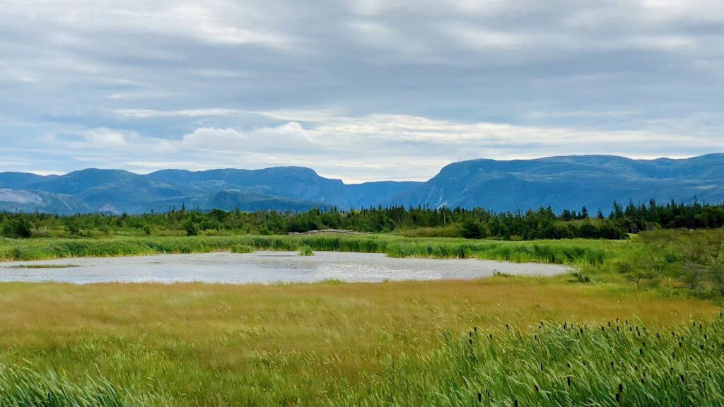
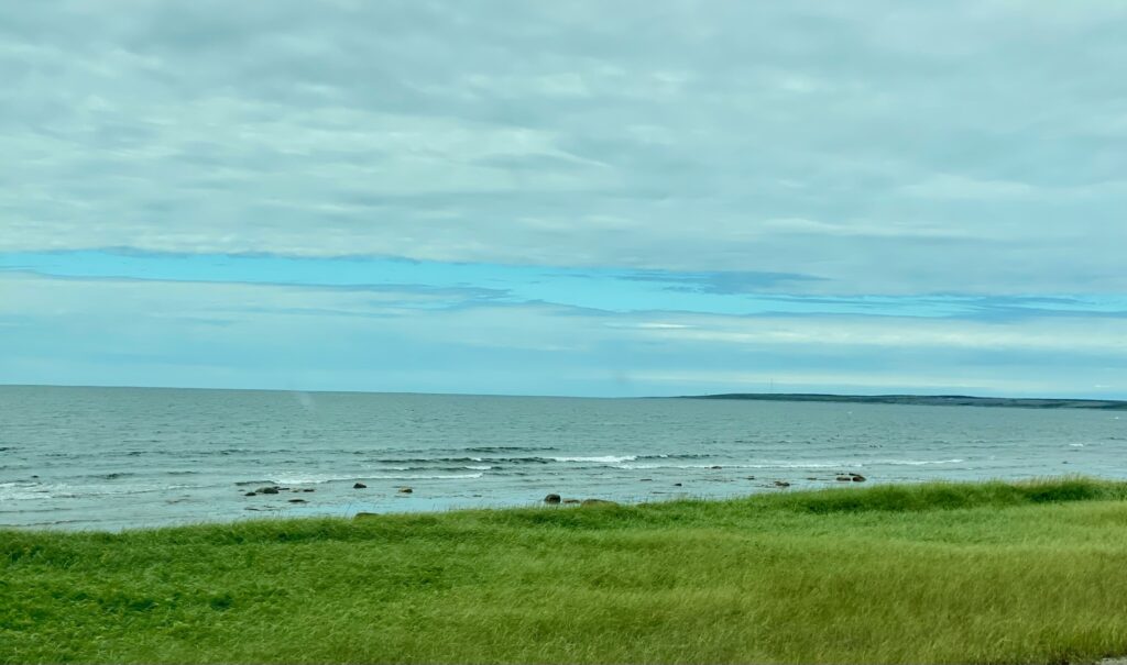
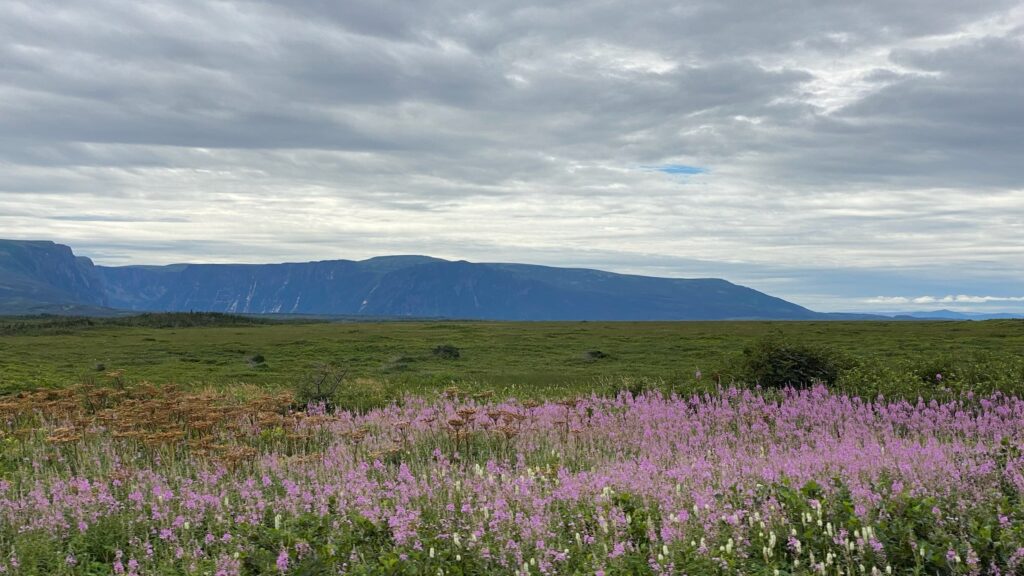
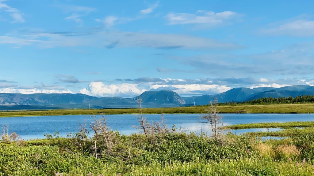
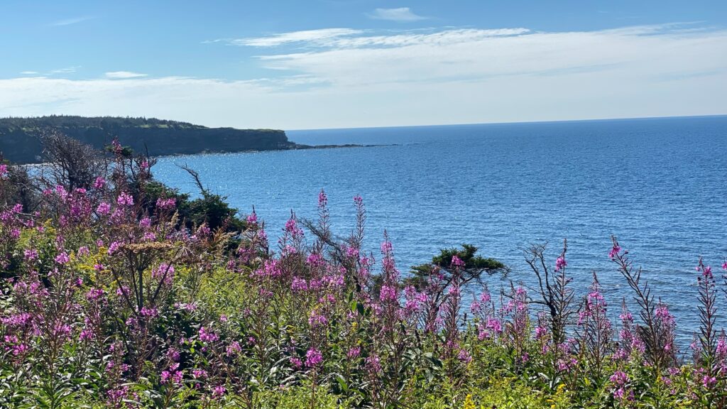
The meandering black pavement split our scenic views. On the inland (passenger side), shrubs, “tuckamore” (small evergreen trees bent low, clinging to the ground to escape strong winds), pretty ponds, moosey grasslands and large pink splashes of wild lupine are the foreground for distant mountains. These aren’t as tall as the Rockies, but against this low landscape the deep-blue Long Range Mountains hold your attention. On the gulf side (driver’s side), cliffside waving grass or creamy driftwood filled beaches end in calm reflective or shimmering gulf waters. These areas wrap themselves around small fishing villages that are tucked away in coves.
We made several stops along the route:
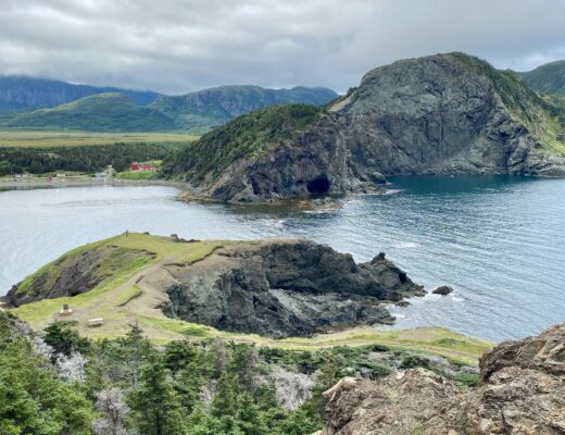
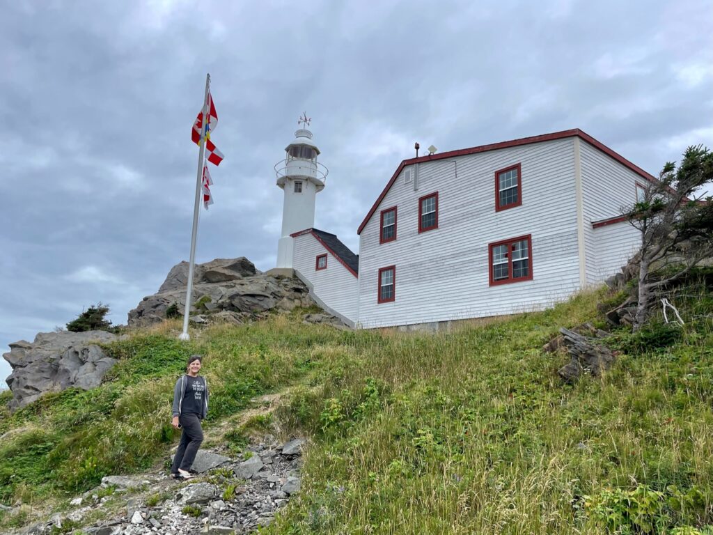
Lobster Cove Head Lighthouse
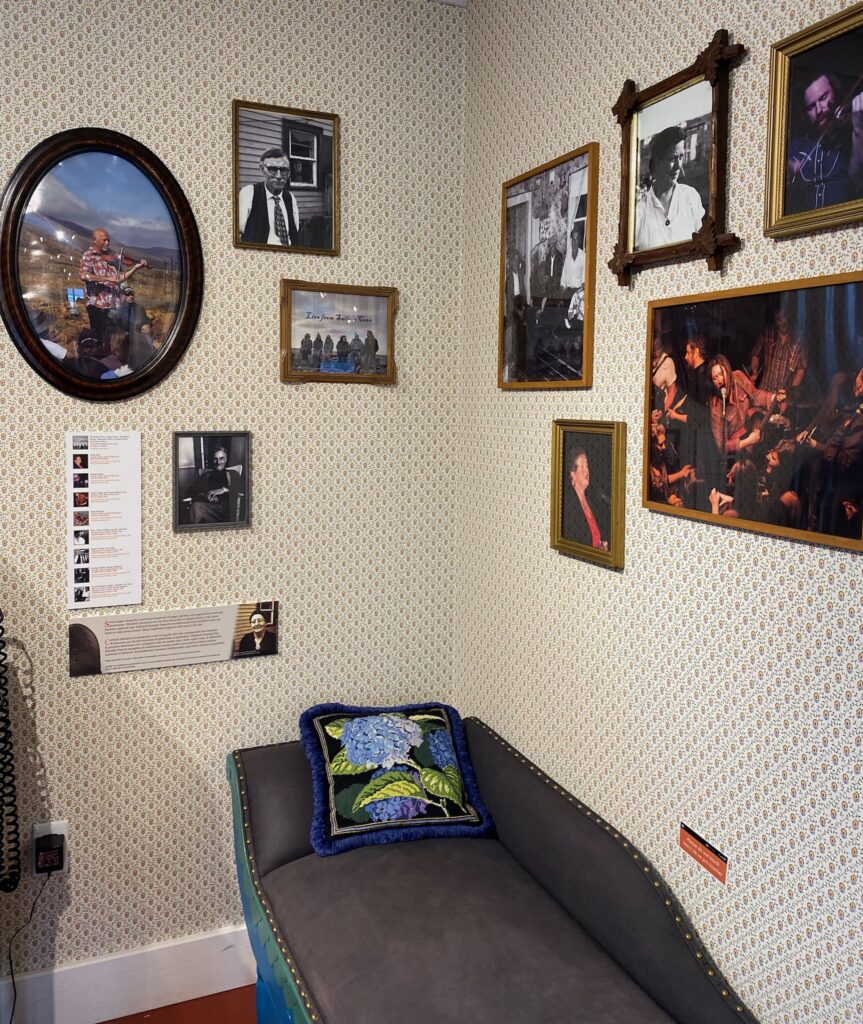
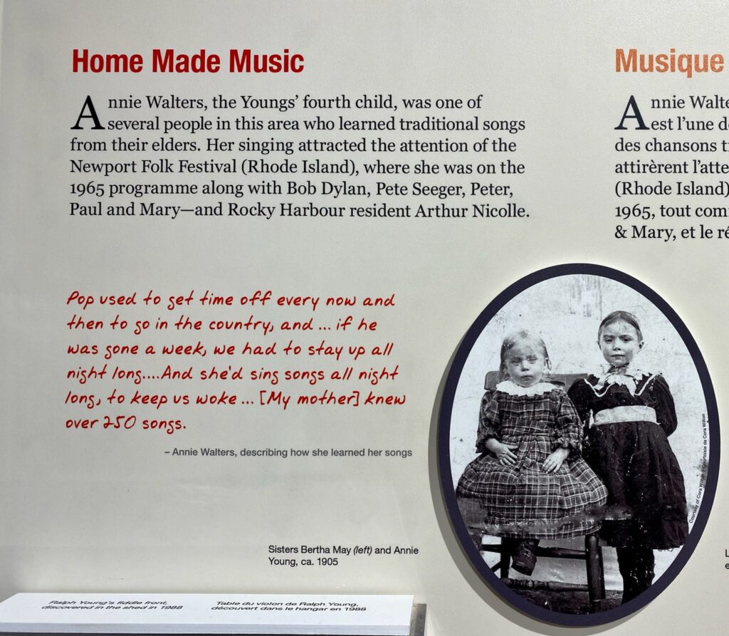
This century old lighthouse once served to guide fisherman into Bonne Bay. Today it’s set up with wonderful photos, lighthouse artifacts, and information about the area’s deep heritage and culture. It provides a sense for what it must have been like for families to tend to these important outposts.
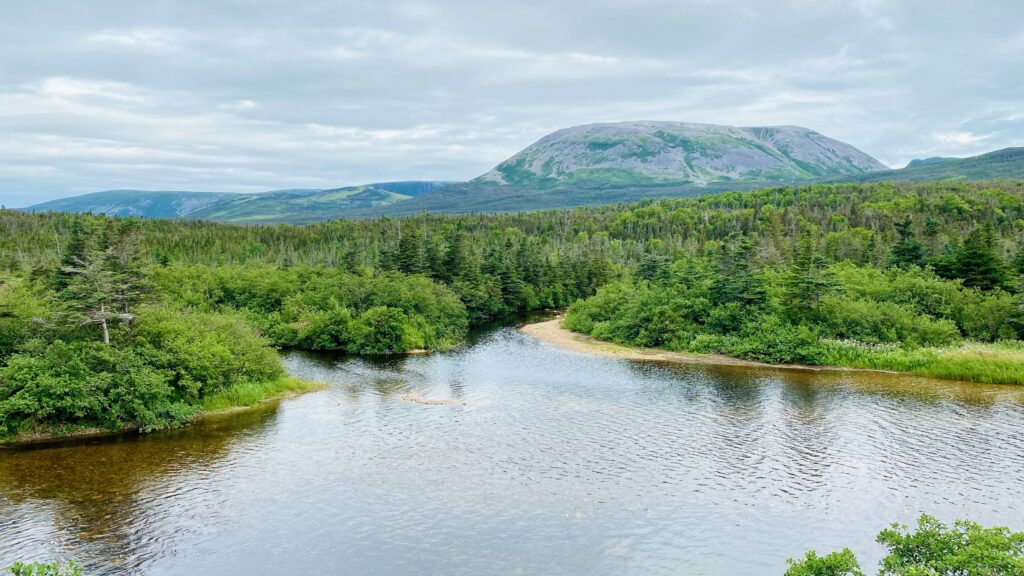
Western Brook Pond
You can see a deep slot in the two table topped hills from the highway. We only skipped this stop along our drive because we had scheduled a boat tour of this iconic fjord for the following day (link to post here).
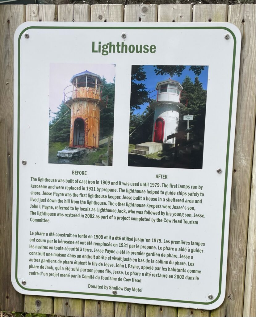
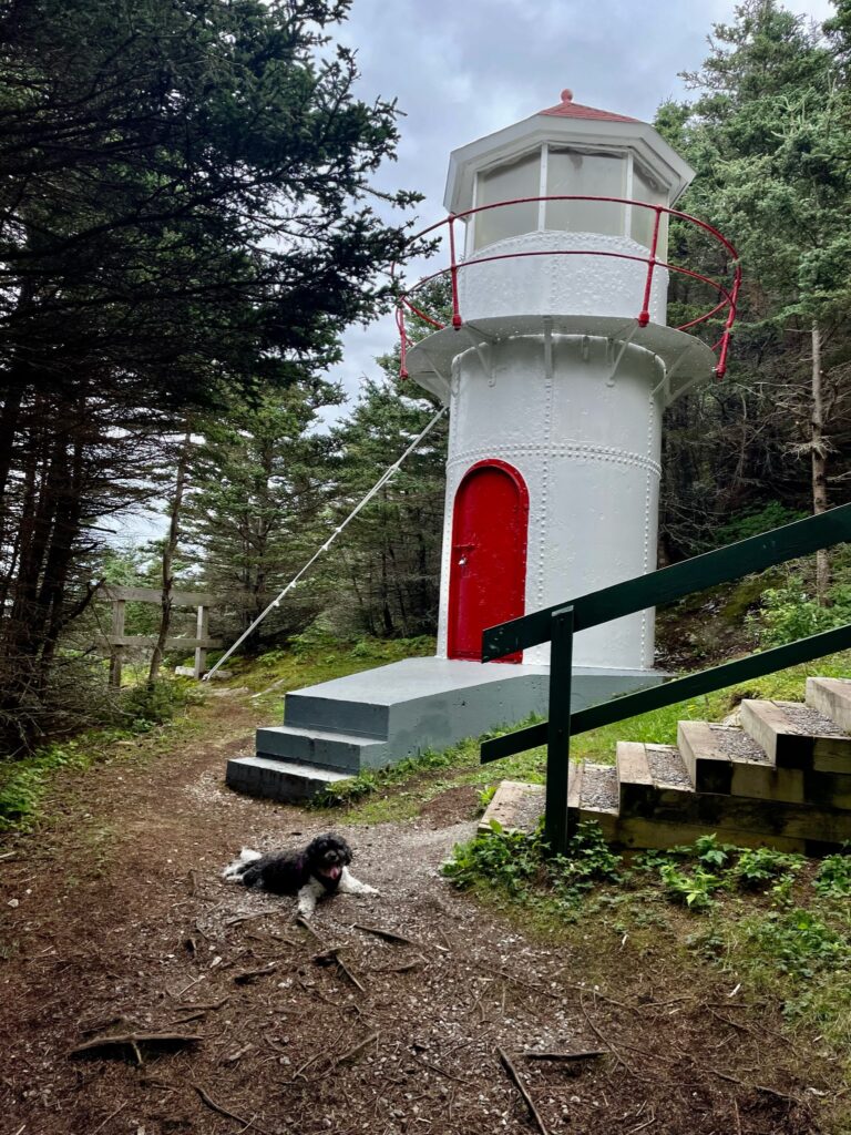
Cows Head Lighthouse
This 500-person town was first named Cap Pointe by Jacques Cartier in the 1800s, but French fisherman began to call it “Tete de Vache” (Head of the Cow) because of a large rock that looked like a cow’s head when viewed from the sea. Today, Cow’s Head has a popular live theater and small 100+ year old lighthouse that’s just a short hike from the parking area near it.
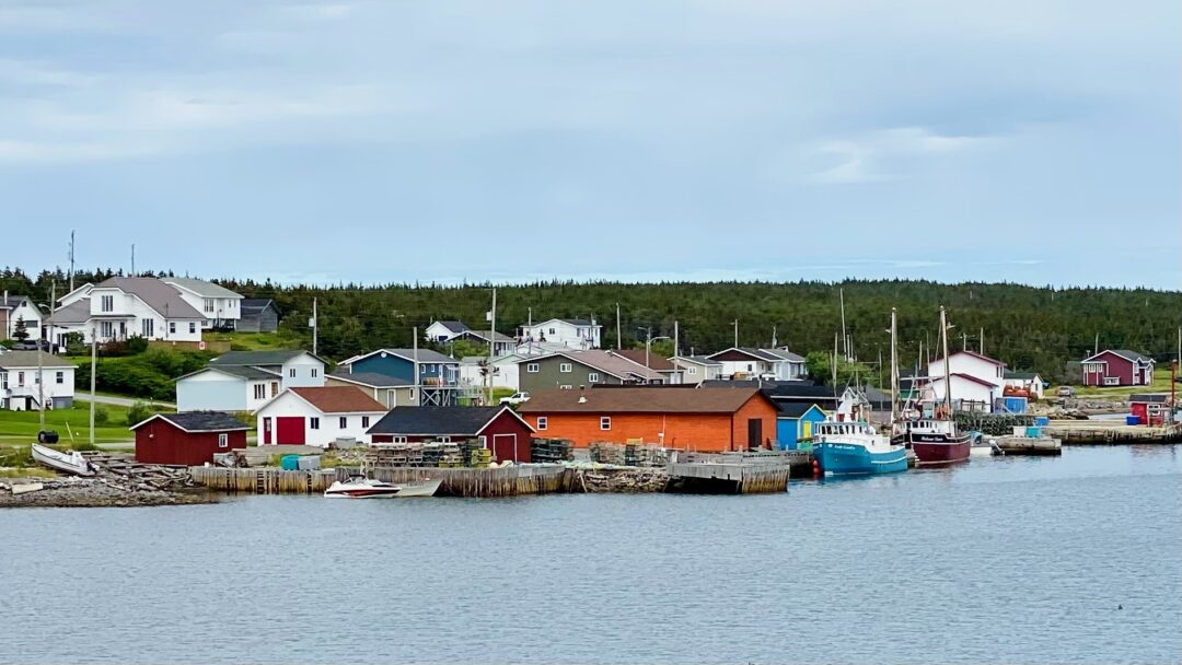
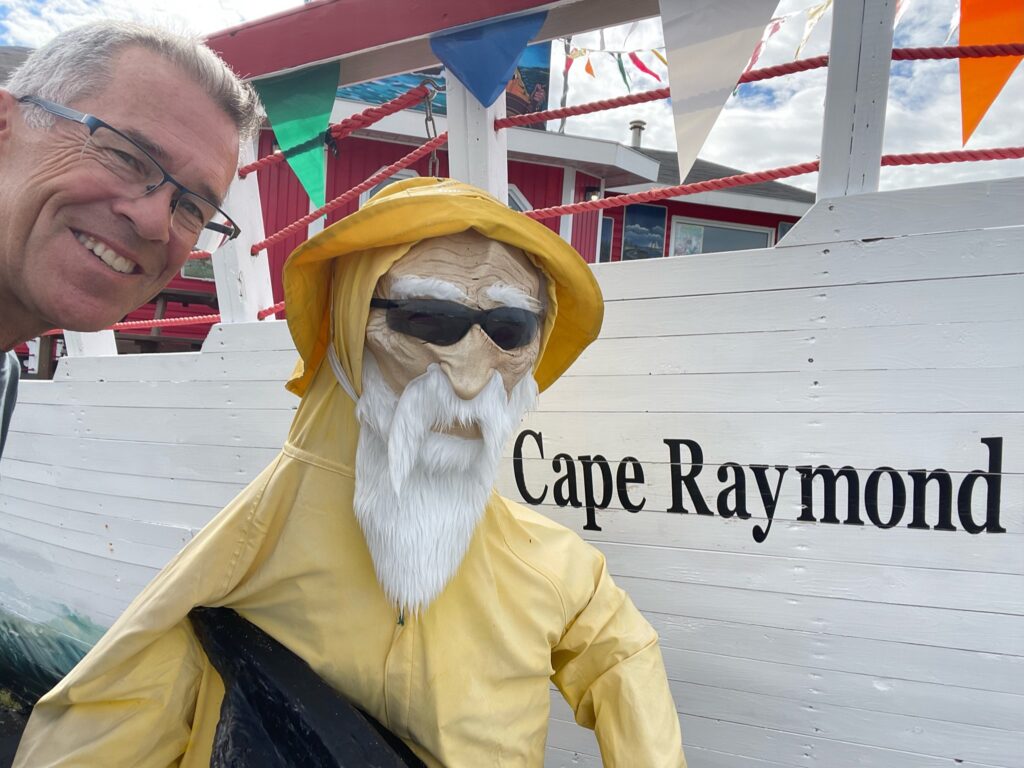
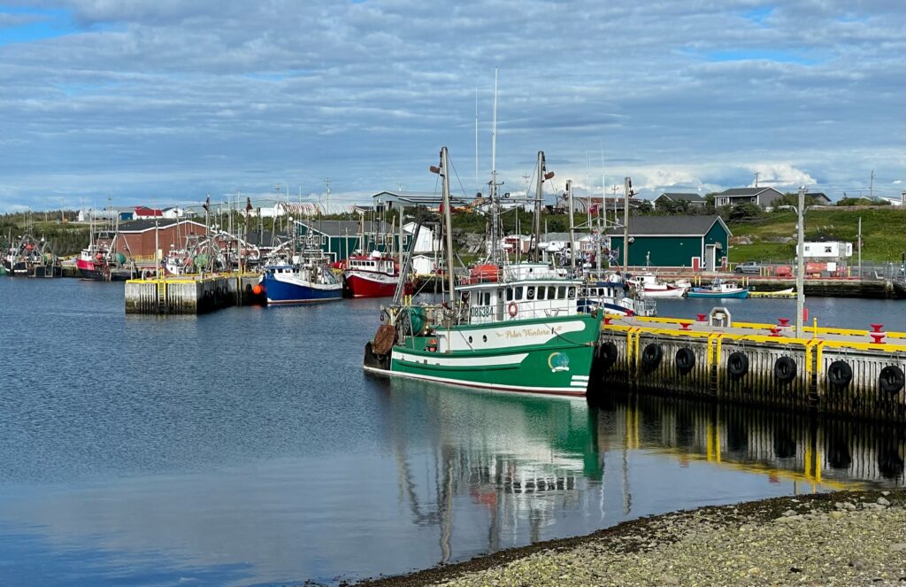
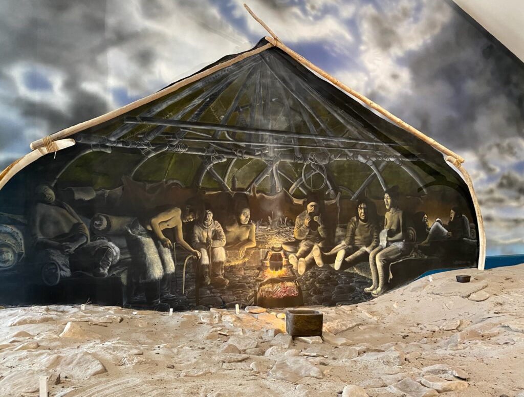
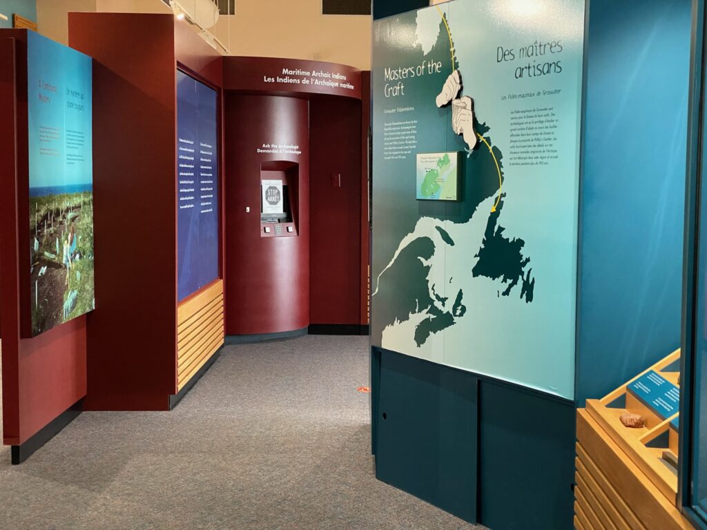
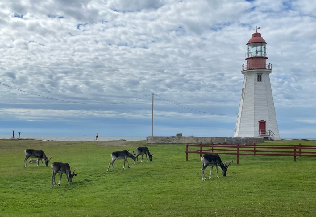
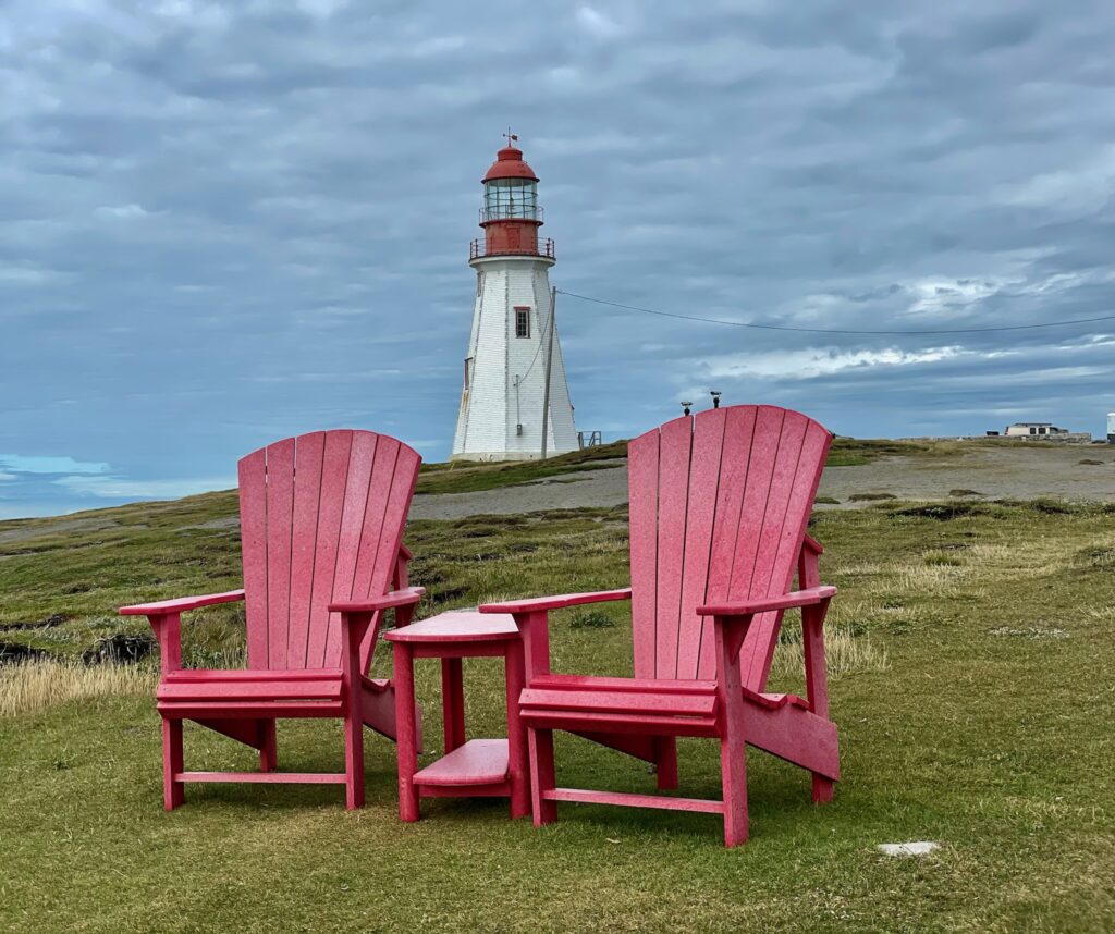
Port Au Choix National Historic Site and Harbor
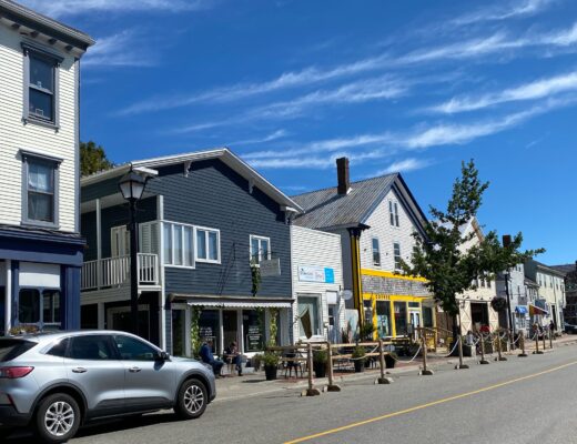
This 800-person town is only about halfway up the Viking Trail, but it’s where we turned around for the day. Cape Raymond restaurant had some fantastic fish and chips for dinner and the harbor boats create a rainbow of color that should not be missed.
The big draw is an archeological site and its associated museum that provide a lot of information on the indigenous people of the area. There’s a wonderful lighthouse at its point and it’s known widely to have a herd of Caribou, who were very unconcerned about being the center of attention as the cameras clicked. There are also some wonderful sculptures in the area.
The museum will provide you with a map as additional archeological sites are scattered around town, including ancient burial sites.
l’Anse aux Meadows
Had we gone further north we would have seen l’Anse aux Meadows, which is a Viking historical site near the end of the trail and the typical destination for most travelers. Leif Erickson founded this first European settlement of Greenlanders and Icelanders in 1000 A.D. Remains of the only North American Norsemen houses and workshops weren’t discovered here until the 1960s. It became a UNESCO World Heritage Site in 1978. An interpretive center provides more information on the history of this area
If you get this far north in the spring, you’re likely to see icebergs floating past its rocky shore as well!
We have this area on our must-do list when we return.
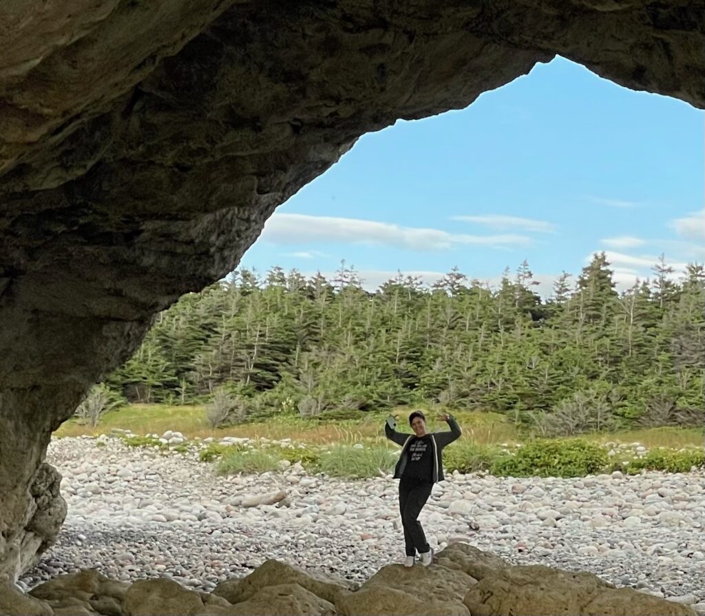
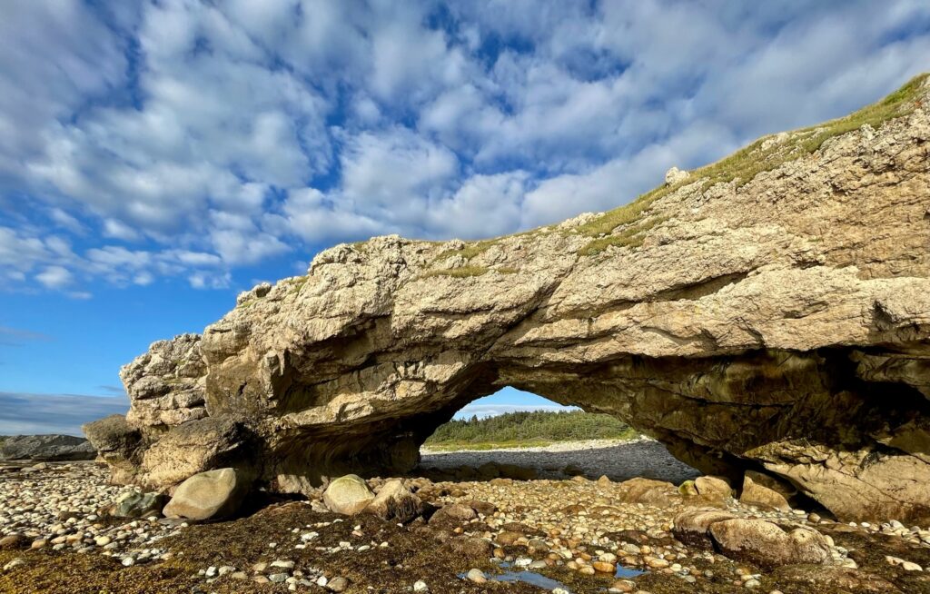
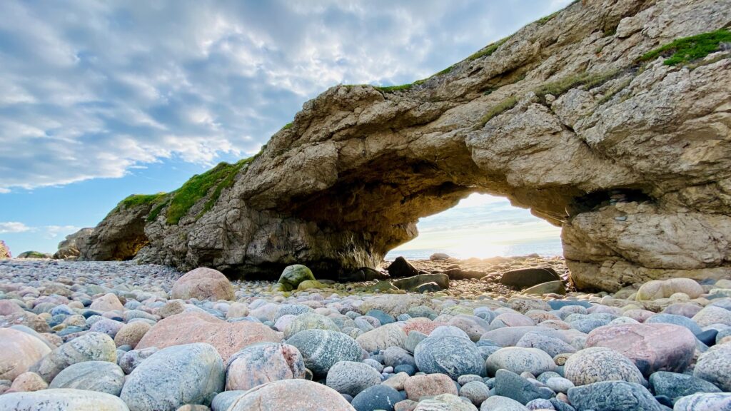
Arches Provincial Park
On our way back south from Port Aux Choix we stopped at Arches near sunset.
These large natural rock arches were apparently made millions of years ago by wave action and undersea currents that created caves through a bed of dolomite. These rock caves were later raised above sea level by tectonic upheaval.
Even if you don’t care about geology, the arches are fun to walk around and photograph. They take center stage, but many of the surrounding smooth boulders are interesting as well so wear solid shoes for walking around.

Peggy’s Cove
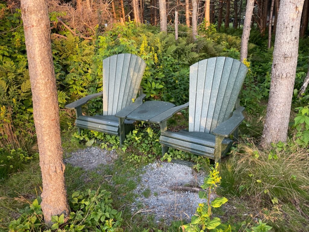
We stayed at the northern-most campground in Gros Morne called Green Point. These two cliffside chairs next to our campsite were the perfect end to the day and the location was very close to our Western Brook Pond tour the next morning.
The final two stops after Western Brook Pond were at an Old Fishing Village and at the SS Ethie Shipwreck. Wouldn’t necessarily recommend this order along the Viking Trail as we did a lot of up and back, but try to hit the locations =)
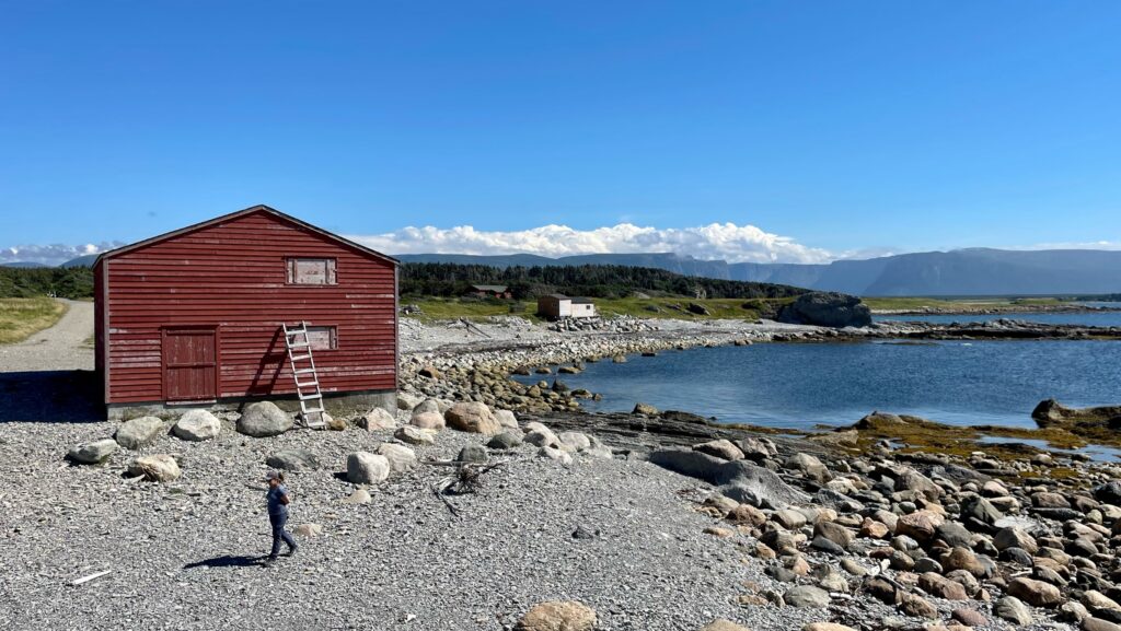
Old Fishing Village
I was hoping that this was stop near St. Paul’s little better as it could have been a really interesting site with great information on an industry that dominated the area, but there isn’t much here other than a little shack, some crab pots, and an interesting shoreline. Still, it was a pretty day and a short walk to stretch the ‘ol legs!

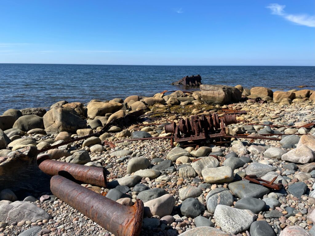
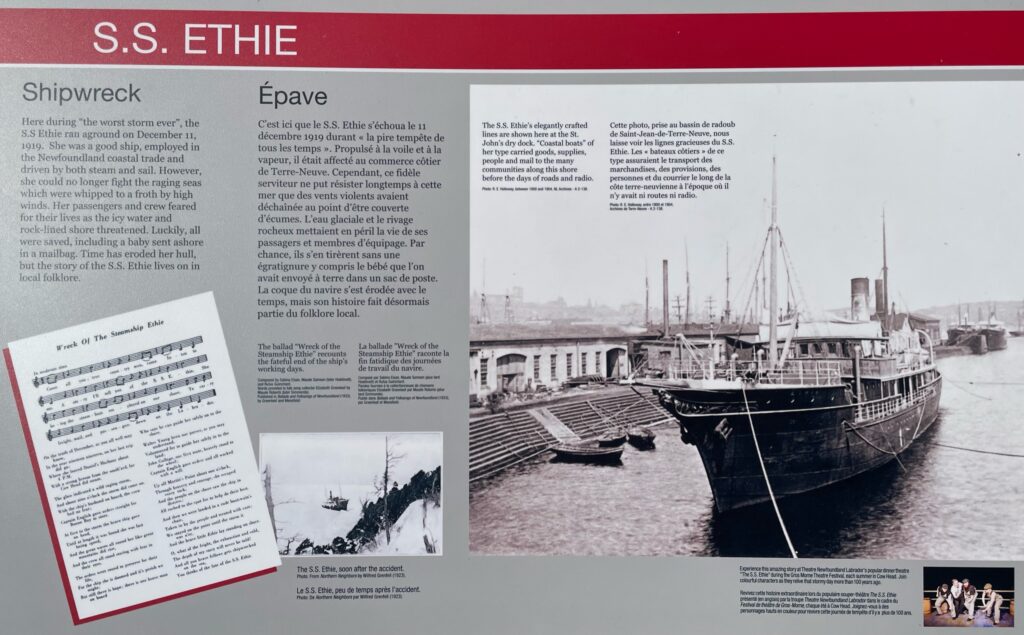
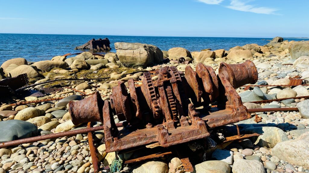
SS Ethie Shipwreck
Near Sally’s Cove you can view the remnants of the S.S. Ethie. The ship ran aground on December 11, 1919 in a terrible storm, despite the ship being powered by both steam and sail. The passengers and crew feared for their lives as they had to survive cold water and a dangerously rocky shore. All the passengers survived, including a baby that was sent ashore in a mailbag!
The Viking Trail is one of the Canadian Maritime’s best scenic drives!
You’ll be immersed in unique and lovely landscapes, learn about Newfoundland’s indigenous peoples and early Viking explorers, stretch your legs at some colorful coves and lighthouses, learn a bit about local heritage and culture, and enjoy local seafood. If that weren’t enough, this drive lacks the overcrowding that you might expect on a typical “scenic drive” (at least during the late summer) and you’re likely to engage in few pleasant conversations with friendly locals who will freely provide additional information about interesting things to see and do in Newfoundland.